Curated OER
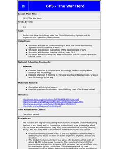
GPS - The War Hero
Students understand what the Global Positioning System (GPS) is and how it works. They discover the history of the development of GPS and how the military uses GPS. They realize why GPS was essential to the success of Operation Desert...
Curated OER
Keeping A Watchful Eye
Students explore the use of satellite surveillance systems to track criminals. They consider how the use of this technology in law enforcement might affect them and write opinions on whether or not such a system should be adopted by...
Curated OER
Fostering Geospatial Thinking: Space to Earth: Earth to Space (SEES)
High schoolers locate and access data to help them with their science inquiry. In this geographical positioning activity students evaluate and compare data sets.
Curated OER
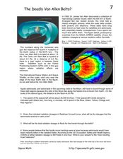
The Deadly Van Allen Belts?
In this Van Allen Belts worksheet, students read about the deadly affects of the high energy particle clouds located around the Earth. Students answer 4 questions about the dosages of radiation astronauts receive in the zones of the Van...
Curated OER
On the Road Again": Moving People, Products, and Ideas
In this lesson students learn how to identify modes of transportation and communication for moving people, products, and ideas from place to place. Students also study the advantages and disadvantages of different modes of...
Curated OER
Space Age Technology Comes to Earth
Both GPS and GIS are now used regularly in agricultural careers. Explore the new technologies that require higher education for those interested in agri-science careers. Upper graders examine how agriculturalists use new technologies by...
NOAA
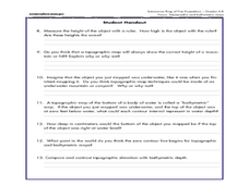
Mapping the Ocean Floor: Bathymetry
Bathymetry is not a measure of the depths of bathtubs! Through the three lessons, scholars explore two different types of maps and how they are made. The resource focuses on topographic and bathymetric maps and teaching the techniques...
Montana State University
Who’s on Top?
What's it like to climb Mount Everest? An educational resource encourages an in-depth knowledge of Mount Everest's scientific missions through a variety of activities, including an analysis of maps, a KWL chart, videos, a simulation, and...
Curated OER
A Watered-Down Topographic Map
Eighth graders explore the ocean floor. In this topography instructional activity, 8th graders compare topographical maps to bathymetric charts. They will create a topographic map and note landmarks and other land features.
Curated OER
Your Expedition of Discovery
Students study GPS and see how it is used to determine points on the Earths surface. For this expedition lesson students use GPS to find given coordinates.
Curated OER
Physics of Space Flight
In this space flight worksheet, learners will review physics terms relating to space which includes measuring the distance of space objects, how rockets work, and electromagnetic waves. This worksheet has 10 terms in a crossword puzzle,...
Curated OER
Is the Earth Preparing to Flip?
In this Earth's magnetic poles worksheet, students read about the changes observed in Earth's magnetic field and the possible geomagnetic reversal of the north and south magnetic poles. Students answer 5 questions about the reading and...
Curated OER
Where is Here?
Students are shown the very basics of navigation. The concepts of relative and absolute location, latitude, longitude and cardinal directions are discussed, as well as the use and principles of a map and compass.
Curated OER
Places on the Planet: Latitude and Longitude
Students locate different places on globes and maps by learning about latitude and longitude lines. In this latitude and longitude lesson plan, students identify specific locations based on the degrees of latitude and longitude.
Curated OER
Explore Your World--Geography Takes You Places
Students examine how the world around them is constantly changing. In groups, they travel between centers in their classroom to role play the role of explorers in Washington D.C. They share their experiences with their classmates and...
Curated OER
Alaska the Elephant
Pupils explore an Internet website, locating and matching the shape of an elephant's head to a state in the U.S. They complete an Alaska worksheet, identifying other geographical locations surrounding Alaska.
Curated OER
Chasing El Nino
In this El Nino worksheet, high schoolers review this specific change in the climate cycle by completing 20 short answer questions.


