Curated OER
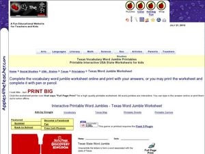
Texas Vocabulary Word Jumble
In this Texas words worksheet, students unscramble the letters in 20 words to spell key cities, people, attractions and regions pertaining to Texas. There is a word bank.
Curated OER
Geography of the Study of the Spanish-speaking People of Texas
Students identify the physical features, demographic characteristics, and history of the four Texas towns featured in Russell Lee's photo essay, "The Spanish-Speaking People of Texas." They conduct Internet research, and create a travel...
Richmond Community Schools
Map Skills
Young geographers will need to use a variety of map skills to complete the tasks required on this worksheet. Examples of activities include using references to label a map of Mexico, identify Canadian territories and European...
Curated OER
Getting to the Core of World and State Geography
Students create topography relief maps. In this geography skills lesson, students review geography core knowledge skills, design and make a state relief map, and compile a student atlas.
Curated OER
Dark Days on the Prairie
Students explore U.S. geography by researching agriculture. For this dust bowl lesson, students complete a cause and effect worksheet based upon the dust bowls that covered a large portion of Oklahoma and Texas in the early 1900's....
Curated OER
Geothermal Energy in Latin America
Here is a wonderful series of lessons designed to introduce learners to the variety of renewable, clean energy sources used by people all over the world. Geothermal energy is the resource focused on. This particular sources of energy...
Curated OER
Africa's Climatic Regions
Students are introduced to the different climates and vegetation of Africa, and compare them to similar climatic regions found in the United States.
Curated OER
Geography and Artifacts of Mexico
Students review the structure of government in Mexico and discuss how it is different than the United States. Using artifacts, they must label and identify the city or state in which the artifact originated. They use the artifact clues...
Latin America Network Information Center
Urbanization
Brazil's population has been changing dramatically in the last century. Study the causes of Brazilian urbanization, including industrialization and and migration, and the implications for the country of the populations'...
Curated OER
Veni, Vidi, Vici
Students participate in a Roman festival to complete a unit on Roman Civilization. In this Roman Civilization lesson plan, students learn about Cleopatra, Julius Caesar, the Mediterranean Region, and more. Students share what they...
MENSA Education & Research Foundation
Connecting Africa: A Project-Based Learning Adventure
Mission Possible: Your task is to design a new highway route from Tunis, Tunisia to Cape Town, South Africa. If you accept the challenge, you must create a small map of the route that has already been rejected, a...
Baylor College
Mapping the Spread of HIV/AIDS
Where is HIV/AIDS most prevalent and what are the current trends regarding HIV? Have groups work together to map the world's HIV/AIDS rates, then create a class map with all the data. Lesson includes cross-disciplinary concepts including...
Curated OER
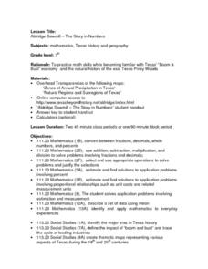
Aldridge Sawmill - The Story in Numbers
Seventh graders view overhead maps of Texas, explore history of Aldrige Sawmill, and practice math skills while becoming familiar with Texas' "Boom & Bust" economy and natural history of east Texas Piney Woods.
Curated OER
Aldridge Sawmill -- The Story in Numbers
Seventh graders view a recent transparency of the average rainfall zones of the state of Texas. Using another transparency, they identify the Piney Woods subregion of the Gulf Coastal Plain and locate national forests and sawmills. ...
Curated OER
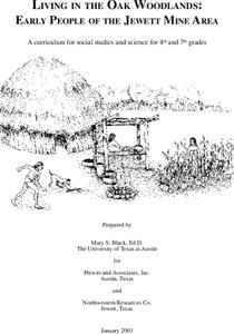
Living in the Oak Woodlands: Early People of the Jewett Mine Area
Students examine the archeology and native peoples of the Jewett Mine area of Texas. Using a map, they explain the economic patterns of the native groups and how the geography of the area affected activities. They compare and contrast...
Curated OER
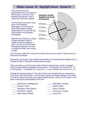
Globe Lesson 16 - Daylight Hours
In this geography skills instructional activity, students read an instructional passage regarding daylight hours and then respond to 5 short answer questions.
Curated OER
Geography and Archeology of the River People
Seventh graders work together in groups to read a handout and answer questions about the geography and archeology of a group of native peoples. As a class, they discuss their opinions and answers and the importance of using artifacts to...
Curated OER
Geography: Why Is the Sacremento Valley a Good Place to Grow Rice?
Third graders locate the Sacramento Valley in California where rice is grown. In this rice growing location lesson, 3rd graders locate the Sacremento Valley, California on a map, and color the mountain ranges and terrain that is around...
Curated OER
Diversity
Students work in groups to research and prepare an oral report about a region. In this regions lesson plan, students find out about the geography, population, state capitals, and landmarks. Students assign attributes to the...
Curated OER
Alaska
Fourth graders explore how humans adapt to variations in physical environment, compare how people in different communities adapt to or modify the physical environment and identify and compare the human characteristics of selected regions.
Curated OER
Where Does It Come from?
Students read articles about various agricultural products and create a map using the statistics in the article. In this agricultural statistics lesson plan, students look at the geography of the country and which products come...
Agriculture in the Classroom
Wad-a-Watershed
What kind of impact do humans have on watersheds? Find out in a lesson that defines, explores, and promotes ways to protect our watersheds. The ultimate goal of the lesson is for learners to discover how a watershed is impacted by...
Curated OER
Diary of a Worm Secret Agents
Second graders explore the geography of Washington D.C. and President Bush's hometown of Crawford, Texas. They read the book, Diary of a Worm, determine the best route to go to Texas from Washington D.C., and throw a birthday party for...
Curated OER
The Plains Indians
Students have a better understanding of another culture other than their own. This help them to see that there were other people living in this region before us.
