Curated OER
Exploring History Through Photographs
A fascinating series of four lessons on how photography and society have evolved over time. These lessons bring in elements of art, math, social studies, and geography. Everyone gets to make maps, look at old photos, and take part in a...
Curated OER
Mapping the Past
Young scholars study historical maps to view how the world evolved from medieval times through the Renaissance. They work in groups to examine the maps and present a report on one of the listed maps.
Angel Island Immigration Station Foundation
Exploring Oral Histories of Angel Island Immigrants
Empowered by the previous lesson where they interviewed a family or community member, young historians examine Angel Island immigrants' oral histories. They use a matrix to record their interpretation of the feelings of the immigrant....
Curated OER
Creating a Thematic Map
Students create and analyze a weather-related data table and a thematic map based upon information provided.
University of Colorado
Strange New Planet
The first remote sensors were people in hot air balloons taking photographs of Earth to make maps. Expose middle school learners to space exploration with the use of remote sensing. Groups explore and make observations of a new...
Curated OER
Mapping the Aegean Seafloor
Earth science learners create a two-dimensional topographic map of the floor of the Aegean Sea. They use it to then create a three-dimensional model of the ocean floor features. This comprehensive resource delivers strong background...
Curated OER
Local History: Mapping My Spot
Learners explore maps to discover historical information about their local area. For this mapping and history lesson, students use panoramic maps of their own town/city to interpret historical information. Learners also place...
Anti-Defamation League
Viewing History from Multiple Perspectives
Celebration or protest song? The full text of Woody Guthrie's "This Land is Your Land" opens a study of the Lewis and Clark Expedition, the Louisiana Purchase, and Western Expansion from various perspectives. Middle schoolers examine...
Curated OER
Assessing and Making Maps
Students evaluate maps using the TODALSIGs basic map analysis system, explained on the worksheet. They create a map of Alaska using TODALSIGs. Students brainstorm the elements of maps.
Curated OER
Mapping America
While learning about the Louisiana Purchase, pupils practice map skills. This motivating lesson has them answer questions about the Louisiana Territory and the United States. It provides a quick and easy way review of skills and the...
Curated OER
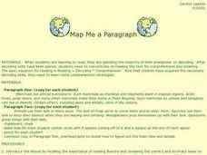
Map Me a Paragraph
There are so many great reading strategies. In this lesson, learners practice decoding. They break down two paragraphs to analyze and determine main ideas and details. They each observes ways to model as they map their paragraphs.
Curated OER
Documenting Texas Women’s History through Photographs
Students explore women’s history. For this women’s studies lesson, students will examine seven photographs that depict prominent female figures from Texas’s history. Students will engage in a discussion of the photographs as a mode of...
Global Oneness Project
The Value of Ancient Traditions
Imagine having to give up cell phones, computers, and TV? What would be lost? What gained? An examination of the Drokpa, a nomadic people who live in the grasslands of Tibet, provides class members an opportunity to consider how access...
Curated OER
Grid Frame Mapping
Students map and describe small area of the schoolyard and discuss habitats.
Curated OER
Making Cents of Independence
Have your class explore the history of Texas using this comprehensive activity! They read about Texas' march toward statehood, the Alamo, and more. There is a series of worksheets, graphic organizers, and a rubric which make this...
Curated OER
Instruments From Around the World
How much does the environment affect how and what man creates? Children explore the effect of the environment on primitive man as they research raw materials from a specific location. They use their findings to write a short essay about...
Curated OER
Mapping the Mediasphere
Students compare/contrast the media messages they see in two different communities in their city. They list the elements of art and the principles of design in the photographs they have taken in those two different communities. They...
Curated OER
Where Am I: How to Read a Map
Third graders develop an understanding of maps. They explore what a map is, who uses maps, and how to use maps. Students investigate the compas rose. They create a compose rose which illustrates the cardinal directions. Students practice...
BBC
Walk Through History
First the Vikings raided Great Britain, and then they set up camp and moved in. Learners explore Viking times and discuss reasons why groups choose to settle. They construct a class timeline, engage in several online activities, and then...
PHET
Mapping the Field of Multiple Dipole Magnets
So you built a magnetometer, now what? High school scientists use their magnetometer made in a previous lesson to map the union of magnetic fields of dipole magnets. They experiment with different alignments and draw conclusions about...
Curated OER
Bears and Panthers Aplenty: Early Settlers Make a Home in Arkansas
Young historians research the Southwest Trail, which ran through Arkansas back in the 19th century. Pupils are divided into four groups. Each group researches a pioneer who blazed the Southwest Trail. Then, the group presents an oral or...
Curated OER
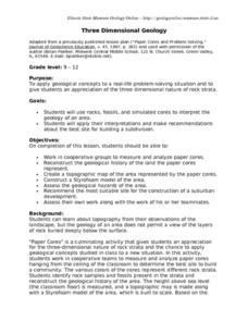
Three Dimensional Geology
Here is a fine lesson plan on geology designed for high schoolers. Learners use rocks, fossils, and other geological clues to determine the geology of an area. Then, they make recommendations to a fictitious city council about the...
Curated OER
Where Were Your Ancestors in 1871?
Here is a nicely designed lesson plan on ancestry and family history. In it, learners read an article entitled, "Where Were Your Ancestors in 1871?" Then, they make up a series of questions to profile their family and their community 100...
Curated OER
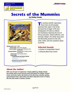
Secrets of the Mummies
How did the ancient people of Egypt preserve their dead so well that their bodies are still recognizable today? Learn the painstakingly complex process they used for preservation. Young scholars read and summarize a narrative detailing...


