NASA
Mapping the Watery Hills and Dales
How does GPS know where everything is located? Pupils read about satellites that are mapping the ocean and the question on how satellites know where they are. Readers discover the workings of the Global Positioning System and create...
Captain Planet Foundation
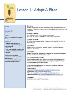
Adopt-A-Plant
Note the way that plants change during the season by adopting a plant on your school campus. After your class chooses their plant, they research the plant's needs, how it differs from other plants, find ways to support their plant's...
Curated OER
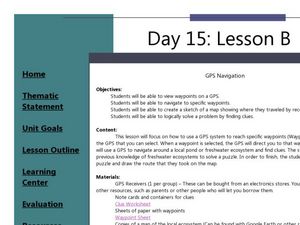
GPS Navigation
Students search for clues given a map and a GPS. In this technology lesson, students solve a puzzle using the clues they gathered in the activity. They write a short reflection about the activity.
Curated OER
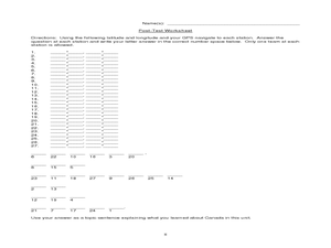
Canada Eh? Pre/Post Tests on Canada Using GPS
Students participate in a GPS activity and answer questions about Canada. In this Canada lesson, students identify location by using a GPS Unit and latitude and longitude. Students find an Inuksuk (station) and a complete worksheet.
NSW Department of Education
Relationships Between Formal Measurement Units: Measure and Record Mass in Kilograms and Grams
Teach the masses about the metric system with this hands-on measurement lesson. Given a fruit or vegetable, learners estimate, measure, and convert its mass using the metric units gram and kilogram.
It's About Time
Taking a Ride on a Lithospheric Plate
Assist your pupils and broaden their horizons with several activities that determine the exact positioning of various communities over the globe. Pupils use data from the Global Positioning System to determine the position and rate of...
Curated OER
Hide and Seek with Geocaching
Students locate objects using a Global Positioning System. In this global geography lesson plan, students explore latitude and longitude using a GPS in order to locate objects.
Curated OER
And a Star to Steer Her By: A Field Trip Guide for the Planetarium Show
In this field trip study guide for the planetarium show lesson, students construct a model of the Earth and describe the relative positions of the continents using latitude and longitude. Students construct a star chart to find...
Curated OER
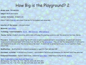
How Big Is The Playground?
Students calculate the standard and metric measurements of a playground. In this measurement lesson, students use GPS coordinates and graphing calculators to determine the dimensions of an area outside of the school in both standard and...
Curated OER
Orienteering: Welcome to the Jungle
Students work together in groups to complete a treasure hunt. Using the school grounds, they search for pictures and stuffed animals of different species. They use a GPS to locate them and record which habitat they live. They calculate...
Curated OER
Adaptation and Diversity on Sheffield Island
Written for an exploration of shoreline ecosystems on Sheffield Island, this gives ecology or marine biology buffs a hands-on experience. Using GPS or visual triangulation techniques, they lay transect lines on a high and a low energy...
Edgate
Why Map a Map?
After brainstorming reasons why Native Americans mapped their lands, your young critical thinkers will work together to review their ideas and determine the definition of a map. With today's extensive use of mapping technology and GPS...
Curated OER
Around the Town
In the world of GPS, make sure your kids can still read maps and determine distances between locations. You will need neighborhood street maps, ideally of your class' home turf. Ask kids questions about different locations in relation to...
Curated OER
Testing Soils for Garden Planting
Sixth graders collect soil samples and record the location of the samples by using GPS.
Curated OER
Lichens as Air Quality Indicators: A beginning lichen identification study (2003
Students use GPS and trees to explore lichens and air quality.
Curated OER
Lesson 3: Where will your home be in a million years?
Students access information about the motion (speed and direction) of the Earth's tectonic plates and make predictions.
Curated OER
Black Holes...III
In this black holes worksheet, students use a formula for time dilation which causes delays in events that occur near the black hole. They solve 6 problems using the equation.
Curated OER
Mapping a Refuge
Students record observations gathered while at a national wildlife refuge. In this lesson on wildlife refuges, students choose an observation spot and record seasonal changes throughout the year.
Curated OER
What's in Our Woods?
Students observe their local forest and document the change that occurs over the school year. For this forestry lesson, students utilize a GPS to mark a certain area of the woods as their study area for the remainder of the year....
Curated OER
Caching in Pine's Treasures
Students compile image information about the Junior High School using a digital camera. They survey the area making observations and recording them with the help of portable technology and transferring the data to a spreadsheet and...
Curated OER
Gridding a Site
Students make observations of effigy mounds and record them in a notebook. In groups, they must determine the scale of measurement and create their own grid to scale part of the Effigy Mounds National Monument. They also practice using...
Curated OER
Watersheds:Stream Channels And Post-fire Stream Flows
Students draw cross sections of a stream channel from field data. In the field, using a GPS, they determine the depth of a stream channel and use a spreadsheet to graph the stream channel.
Curated OER
Science: Trouble in the Troposphere
Students research a NASA Website and record information about an assigned city's tropospheric ozone residual monthly climate. In groups, they graph the information for the past year. They form new groups and compare their city's...
Curated OER
Can You Dig It?
Learners investigate a fossil site and diagram a site map. They role play as paleontologists.


