Beverly Hills High School
Mapping Napoleon's Empire at Its Height (1812)
The complicated political history of Europe becomes apparent as young historians create a map of the borders of France when Napoleon's Empire was a its height in 1812.
Institute for Geophysics
Understanding Maps of Earth
Here is your go-to student resource on primary geography concepts, including facts about the surface of the earth and its hemispheres, latitude and longitude, globes, types of maps, and identifying continents and oceans.
Curated OER
The Seven Continents Scavenger Hunt
Who doesn't enjoy an engaging scavenger hunt? Here, scholars listen to, and discuss, the informative text, Where is my Continent? by Robin Nelson. They then explore the seven continents and four major oceans using...
Avi Writer
Crispin: The End of Time
Crispin: the End of Time is the core text for this teaching guide, a valuable resource for those who use Avi's trilogy as whole-class reading, in book circles, or as independent reading.
Bowland
You Reckon?
Sometimes simple is just better. A set of activities teaches young mathematicians about using plausible estimation to solve problems. They break problems down to simpler problems, use rounding and estimation strategies, and consider...
PBS
Make a Balloon Globe
"We've got the whole world in our hands," is what your students will be singing after completing this fun geography activity. Using the included templates for the seven continents and a balloon, they create their very own globes.
American Immigration Law Foundation
No Pretty Pictures
Here is a nice set of activities and discussion questions to accompany your class reading of No Pretty Pictures, a memoir of a young girl's experiences and struggle for survival during the Holocaust.
The New York Times
Making Do: Learning and Growing Through Adversity
What is it that makes people keep going when they face challenges in life? Ask your class to consider this question in relation to their own experiences and as they read material from The New York Times. Using personal experiences...
Rocklin Unified School District
Spanish Speaking Countries Project
Ask your class members to provide a tour of a Spanish speaking country with a brochure and flag project. Learners research their assigned country, making sure to check off each of the required pieces of information listed on the first...
Other
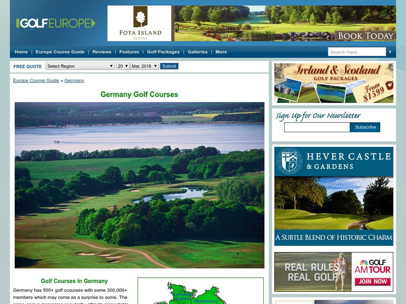
Golf Europe: Golf Clubs in Germany/other
"Germany has 500+ golf clubs with some 300,000+ members which may come as a surprise to some. The game enjoys increasing popularity, attracts respectable sponsorship money and boastsone of the the finest European golfers ever, in the...
Other
Paleomap Project
Virtual reality animation map showing continental drift from 200mya to the present. The animation map is small but effective in showing the positions of the land masses.
Enchanted Learning
Enchanted Learning: The Continents
Brightly colored printouts, maps, and graphics on the greatest land masses on earth. See how continental drift works, look up extremes, label maps, learn about latitude, longitude and other geography terms. Teachers will find a Landforms...
National Geographic
National Geographic: Observing Physical and Cultural Landscapes
In this lesson, students examine photographs of Europe as they learn to distinguish between physical and cultural characteristics of a landscape, and make observations and inferences about the places and people in the photographs. They...
Other popular searches
- Maps of Europe
- Blank Maps of Europe
- Outline Maps of Europe
- Geography Maps of Europe
- Maps of Europe 1914
- Maps of Europe Political
- Maps of Europe Ppt
- Maps of Europe Pot
- Maps of Europe 1919
- Maps of Eastern Europe
- Maps of Medieval Europe
- Western Europe Maps


