Hi, what do you want to do?
Visual Learning Systems
Introduction to Maps and Globes
In this video, the concept of maps and globes is introduced. It explains how maps are commonly used in paper or digital form to navigate and locate places, while globes are spherical representations of the Earth.
Visual Learning Systems
Reading Maps: Summing Up
Upon viewing the Reading Maps video series, students will be able to do the following: Appreciate some of the different ways maps can be used. Explain that maps are often printed on paper and a book of maps is called an atlas....
Visual Learning Systems
Reading Maps: Map Reading Fundamentals
Upon viewing the Reading Maps video series, students will be able to do the following: Appreciate some of the different ways maps can be used. Explain that maps are often printed on paper and a book of maps is called an atlas....
Visual Learning Systems
Reading Maps: Reading Topographic Maps
Upon viewing the Reading Maps video series, students will be able to do the following: Appreciate some of the different ways maps can be used. Explain that maps are often printed on paper and a book of maps is called an atlas....
Visual Learning Systems
Reading Maps: Introduction
Upon viewing the Reading Maps video series, students will be able to do the following: Appreciate some of the different ways maps can be used. Explain that maps are often printed on paper and a book of maps is called an atlas....
Visual Learning Systems
Reading Maps: Video Assessment
Upon viewing the Reading Maps video series, students will be able to do the following: Appreciate some of the different ways maps can be used. Explain that maps are often printed on paper and a book of maps is called an atlas....
Visual Learning Systems
Reading Maps: Reference Points on Earth
Upon viewing the Reading Maps video series, students will be able to do the following: Appreciate some of the different ways maps can be used. Explain that maps are often printed on paper and a book of maps is called an atlas....
Makematic
Place and Location
In geography, it's important to tell the difference between a place and a location. In this video, learn how.
NASA
NASA | When Trees Fall, Landsat Maps Them
Twelve years of global deforestation, wildfires, windstorms, insect infestations and more are captured in a new set of forest disturbance maps created from billions of pixels acquired by the imager on the NASA-USGS Landsat 7 satellite....
NASA
Landsat 9 At Work
Landsat 9, which NASA is launching in September 2021, will collect the highest quality data ever recorded by a Landsat satellite, while still ensuring that these new measurements can be compared to those taken by previous generations of...
Curated Video
Taking a Galactic Census - 60 Second Adventures in Astronomy (13/14)
How do you take a census in space? Find out how it is possible to produce a 3D map of the galaxy, with a little help from the new Gaia Spacecraft and a whole heap of measuring. (Part 13 of 14) Playlist link -...
MinuteEarth
Plate Tectonics Explained
Ready to teach plate tectonics but not sure where to begin? Start with a short video that is long on learning! Junior earth scientists discover the basics of plate tectonics, complete with colorful analogies and explanations. The...
NASA
The Water Cycle: Watering the Land
The oceans contribute 37 trillion tons of water to land masses in the form of rain and snow. The third in a four-part series from NASA show satellite animations highlighting the precipitation on Earth. The videos show the movement of the...
Other
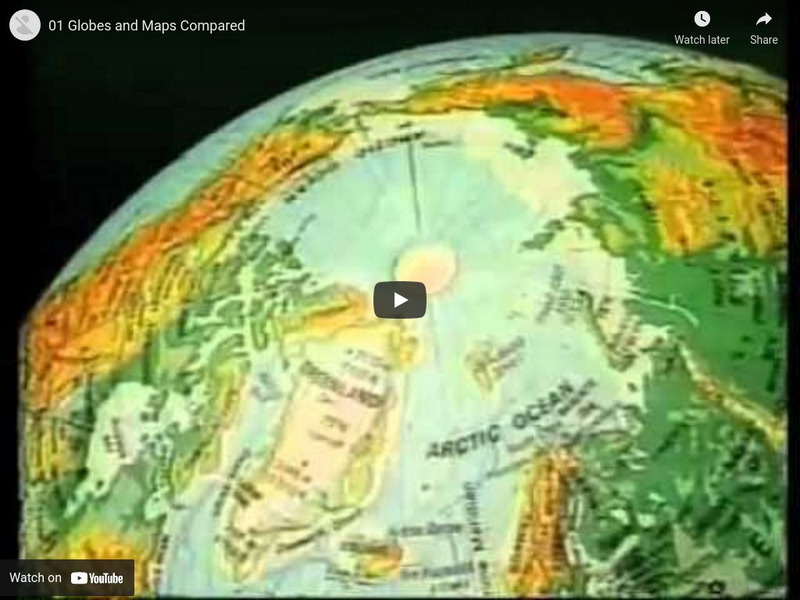
Globes and Maps Compared
Discusses what maps and globes are, the advantages and disadvantages of each, and key vocabulary. [8:48]


