Core Knowledge Foundation
Volume 2 - A History of the United States: Modern Times—Late 1800s to the 2000s
The second volume of the Core Knowledge History of the United States ebook begins by asking young scholars to consider the impact immigration, industrialization, and urbanization had on the United States in the late 1800s. The text ends...
Core Knowledge Foundation
Volume 1 - A History of the United States: Precolonial to the 1800s
Volume One of the 299-page Core Knowledge History of the United States covers events from the Precolonial Period to the 1800s.
Curated OER
John Smith’s Map of the Chesapeake Bay
Young geographers travel back through time with primary source and map analysis and envision Captain John Smith's arrival at the Chesapeake Bay.
Roy Rosenzweig Center for History and New Media
American Indians and their Environment
People could take a page in ingenuity and survival from the Powhatans. Deer skins became clothes, and the members of the Native American group farmed the rich Virginia soil and hunted in its forests for food. Using images of artifacts...
Pardee Home Museum
Geography of Alaska
A unit on the 49th state covers a variety of topics from the geography of Alaska to Native American myths. Academics work to analyze information found in primary source materials including old newspaper articles and artifacts....
New York State Education Department
US History and Government Examination: August 2010
Geography has played a complex role in America history. The Atlantic Ocean has served as a buffer to protect the United States from European Wars, but its proximity to Cuba, however, left it vulnerable to nuclear war during the Cuban...
PBS
What's In a Name?
What is in a name? Eager historians trace the geographical history of places in the United States with Spanish names. Using a worksheet activity, clues, and web research developed in conjunction with the PBS "Latinos in America" series,...
New York State Education Department
Global History and Geography Examination: August 2015
Need a comprehensive test about global history and geography? Look no further! Test young historians' understanding of how to use primary sources to formulate answers with an assessment that uses multiple-choice questions that...
New York State Education Department
Global History and Geography Examination: June 2016
Assess scholars' knowledge of the changing borders in Germany during World War II with a test that includes both multiple choice and essay questions.
New York State Education Department
Global History and Geography Examination: August 2016
Challenge class members with an architectural resource that asks them to use a variety of skills to answer multiple choice questions as well as several essay prompts about the streets and house fronts of ancient Athens. One question asks...
New York State Education Department
Global History and Geography Examination: January 2017
Global history and geography class members demonstrate their knowledge of and ability to analyze primary sources such as graphics, maps, political cartoons, and texts from important documents with an assessment that includes multiple...
New York State Education Department
Global History and Geography Examination: June 2017
Learners respond to multiple choice, short answer, and essay questions to demonstrate their understanding of global history and geography.
New York State Education Department
Global History and Geography Examination: August 2017
Looking for a final examination for global history and geography? Here's a resource that includes multiple choice, essay, and short answer questions.
New York State Education Department
Global History and Geography Examination: January 2018
Finding a test that assess knowledge of global history and geography can be challenging, but here's a resource that solves the problem. Updated January 2018, the exam asks class members to analyze charts, primary sources, and graphic...
Huntington Library
The Corps of Discovery: The Lewis and Clark Expedition
Don't miss this fantastic comprehensive lesson plan on the Lewis and Clark Expedition, packed with instructional guidance, worksheets, map work, informational texts, and secondary source materials.
National Museum of the American Indian
The A:Shiwi (Zuni) People: A Study in Environment, Adaptation, and Agricultural Practices
Discover the connection of native peoples to their natural world, including cultural and agricultural practices, by studying the Zuni people of the American Southwest. This instructional activity includes examining a poster's...
Fremont Unified School District
4th Grade California Relief Map Project
Bring life to your next California geography lesson with this great project! Learners design a three-dimensional wall relief map of California, painting and decorating regions using a variety of materials and labeling major geographical...
National Geographic
Mapping the Americas
Celebrate the geography of the Americas and develop map skills through a series of activities focused on the Western Hemisphere. Learners study everything from earthquakes and volcanoes of the Americas and the relationship...
Curated OER
Exploring South Carolina
If you are having your students conduct a State study this presentation could be a nice example to show them. This resource provides general information about the geography, animals, and city life one may find in South Carolina. Web...
Curated OER
Geography: Intro to Canada
Students investigate the geography of Canada by analyzing a map of the country. In this North American geography lesson plan, students identify the 13 provinces of Canada and their locations by examining a Canadian map. ...
Curated OER
Canadian Symbols
Students discover the ideals of Canada by analyzing its symbols. In this Canadian culture lesson, students identify the symbols that established the U.S. as its own nation and compare them to important Canadian symbols....
Houghton Mifflin Harcourt
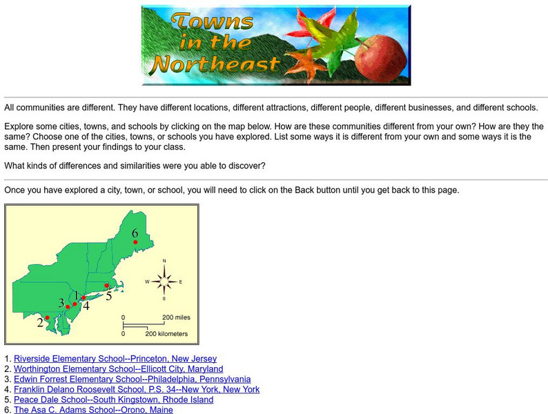
Harcourt: School Publishers: Towns in the Northeast
"All communities are different. They have different locations, different attractions, different people, different businesses, and different schools." This site is about some of the cities in the Northeast section of the United States....
Houghton Mifflin Harcourt
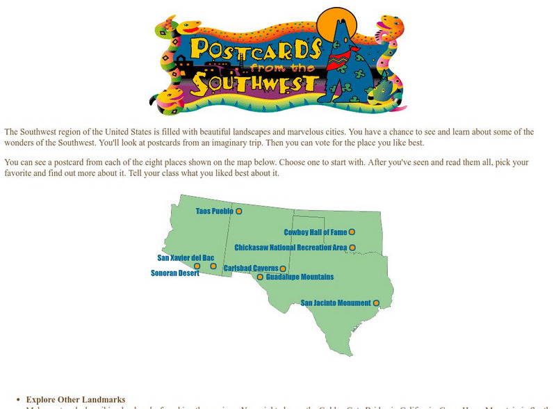
Harcourt: School Publishers: Postcards From the Southwest
The Southwest region of the United States is filled with beautiful landscapes and marvelous cities. Use this site to see and learn about some of the wonders of the Southwest. You'll look at postcards from an imaginary trip. Then you can...
World Geography Games
World Geography Games: Countries of North America
Test your knowledge of the countries of North American with this interactive.


