Curated OER
Mapping the United States
In this map of the United States activity, students label mountains, surrounding countries, oceans, and more. Students complete 12 tasks.
Ashbrook Center at Ashland University
The Constitutional Convention
Imagine sitting down with representatives of your school to write a new student handbook. What arguments would ensue? How would compromises be made to finish the project? Scholars research the Constitutional Convention using a directory...
Statistics Education Web
The United States of Obesity
Mississippi has both the highest obesity and poverty rate in the US. Does the rest of the data show a correlation between the poverty and obesity rate in a state? Learners tackle this question as they practice their skills of regression....
New York State Education Department
US History and Government Examination: August 2016
Multiple-choice and essay questions test comprehension, writing ability, and skills with primary source analysis. The comprehensive exam covers many different subjects including the United States census, Constitution, and important...
Curated OER
United States Map Quiz
For this online interactive geography quiz worksheet, students respond to 50 identification questions about the shapes of countries shown. Students have 5 minutes to complete the quiz.
Reporters Without Borders
2017 World Press Freedom Index
Freedom of the press was seen as a right so important that the Founding Fathers listed it as part of the first amendment to the United States Constitution. Americans pride themselves on this freedom, but just how free are American...
University of Richmond
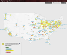
Mapping Inequality: Redlining in New Deal America 1935-1940
Redlining—or the practice of racial discrimination in housing loans—directly led to today's segregated living patterns in America. Using data from the federal Home Owners' Loan Corporation, classmates visualize the impact of policy on...
Curated OER
States in the USA Quiz
In this online interactive geography quiz worksheet, students respond to 50 identification questions about the states in the United States of America. Students have 4 minutes to complete the quiz.
Ashbrook Center at Ashland University
Ratification of the Constitution
How difficult was it to get everyone to agree on the contents of the Constitution? Historians analyze the task of the Founding Fathers in creating the United States Constitution. They research a directory of video clips, primary sources,...
University of Richmond
Canals 1820-1860
While canals are not a common mode of transportation today, they were part of the fuel for America's industrialization. However, most of them were located in the North, also feeding regional differences and sectionalism. Using an...
Curated OER
U.S. Geography for Children: State Capitals
In this United States map skills worksheet, students locate and label specified states and their capitals, and create icons and a map key to show something for each state that is famous. Students answer 5 questions.
Curated OER
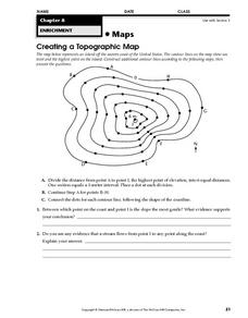
Creating a Topographic Map
In this topographic map instructional activity, students add contour lines to a topographic map using instructions provided. Once topographic map is finished, students complete 2 follow-up short answer questions.
University of Richmond
Foreign-Born Population 1850-2010
If America is a nation of immigrants, where are they from and why did they come? Demographic data and interactive maps help pupils consider answers to these questions by examining the statistics of foreign-born Americans. Features allow...
Curated OER
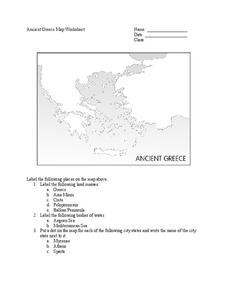
Ancient Greece Map Worksheet
Since the beginning of time, geography has shaped the development of human civilization, and ancient Greece is no exception. This worksheet supports young historians with exploring this relationship as they first identify key land...
Curated OER
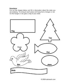
State Information
In these research worksheets, learners will discover facts about one of the fifty United States. They are asked to research seven facts about their state including the state bird, state motto, and state flower. Students then create a...
Curated OER
Student Exploration: Building Topographic Maps
In this earthquake exploration worksheet, students complete 2 prior knowledge questions, then use "Building Topographic Maps Gizmo" to conduct several activities, completing short answer questions when finished.
Freecloud Design
Stack the States™
Kids have fun learning US geography and state facts, including capitals, nicknames, major cities, and landmarks. They can choose between the game, or informational flashcards for each state.
Cornell University
Too Much of a Good Thing?
Continuing their study of beneficial insects, young entomologists discover where in the world some of these bugs are. By labeling, coloring, and using the scale on a map, pupils explore the territories and arrival of the Asian lady...
New York State Education Department
US History and Government Examination: January 2018
It's time to test those skills! Assess pupils' knowledge of US history and government with short answer questions, multiple-choice items, and essays. The resource serves as a standardized test that functions well for a final exam....
National Wildlife Federation
Hot, Hotter, Hottest: Extreme Weather's Impact on Our Resources
How dry is it? It's so dry, the river only runs twice a week! Through an analysis of maps and discussions, pairs learn about droughts across the United States in the ninth of 12 lessons. They then read about, answer questions, analyze...
ProCon
Electoral College
The Electoral College's role in elections is sometimes confusing and controversial. Pupils use a debate topics website to research the pros and cons of the practice to debate whether the United States should still use the Electoral...
Classics for Kids
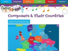
Composers and Their Countries
How many of the world's greatest composers were born in Austria? Or Germany? Or the United States? An interactive map provides young musicians with information about prominent composers in the last few centuries, as well as the periods...
Advocates for Human Rights
Human Rights Defined
Class members continue their investigation of the factors that influence migration with a lesson on human rights. As they examine the Universal Declaration of Human Rights and selected US Constitutional Amendments, learners compare the...
ProCon
Obesity
Is obesity a disease or just a preventable risk factor for other diseases? Scholars attempt to form their own opinions by reading a background of the issue and watching videos that explore the main pro and con arguments using an included...


