Grid Systems Teacher Resources
Find Grid Systems lesson plans and worksheets
Showing 104 resources
Curated OER
Arrays Hooray
Second graders write and solve story problems which involve whole numbers, using addition, subtraction, multiplication, or division. They solve multiplication problems by using strategies other than counting all. They interpret and solve...
Curated OER
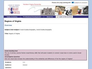
Regions of Virginia
Fourth graders research an assigned region of Virginia. They work in groups to create a PowerPoint presentation. They present their information to the class. Students are tested on the information from their region as well as the regions...
Curated OER
Real Life Challenge
Ninth graders read and examine narratives, review chronologies, consider ideas, and analyze trends in order to understand the past and present. In this American History lesson, 9th graders examine cause and effect, review...
Curated OER
Cardinal Directions
Learners explore cardinal directions. In this social studies lesson, students create maps of home and school using the cardinal directions.
Curated OER
Latitude on World Maps
Sixth graders examine the purposes of maps. In this Geography lesson plan, 6th graders practice using latitude and longitude on a map.
Curated OER
2 x 2
Middle schoolers work together to grid a 2 x 2 meter unit using the formula for the Pythagorean Theorem. After creating the grid, they identify the location of artifacts and create a map of their location. They develop a graph and table...
Curated OER
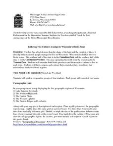
Tailoring Two Cultures to Adapt to Wisconsin's Biotic Zones
Students examine the effect of the various ice ages on Wisconsin. In groups, they create a map representing the five geographic regions of Wisconsin. They must write out a description of each region to be placed on a poster board. ...
Curated OER
The Mysterious Person
Students each create a small piece of a larger picture. When assembled the final piece match a photograph of a famous individual.
Curated OER
Eagle Creek Park (A Hike)
Students plot a hiking course using aerial photos and a topographic overlay and find the latitude and longitude of absolute locations. They measure the total distance of a hiked area and figure the area of the ground walked using Heron's...
Curated OER
Mapping the Local Community
Students review the symbols and legends of a map. In groups, they follow a set of directions to create a map showing the route to a specific place. They present their map to the class and review the basic components of a community.
ClassFlow
Class Flow: Finding Locations on a Grid
[Free Registration/Login Required] Students will be able to use a letter/number grid system to determine location on a grid.
National Gallery of Art
National Gallery of Art: Wallovers
A wallpaper-designing program that turns your freehand drawing into repetitive patterns. A good introduction to repetition as a design principle and to grid systems.
State Energy Conservation Office-Texas
State Energy Conservation Office: Learning About Photovoltaic Systems [Pdf]
Explains how photovoltaic systems work and how Texas homeowners are using them. Discusses how a homeowner can use solar energy and still be on the electricity grid system.
That Quiz
That Quiz: Practice Test: Graph Points
This resource allows users to test their knowledge about graph points.
PBS
Pbs: How Art Made the World: Human Body in Egypitan Art
PBS documentary considers how ancient Egyptian artists chose to represent the human body and answers questions about how the cultural values of a society, such as the desire for order, shape its art. With close-ups of Egyptian art that...
Other
University of Akron: Research Challenges Location of 'Tornado Alley'
Geographer Michael Frates redefines the concept of Tornado Alley by using a grid system to map tornado activity in the U.S. Download the Tornado Alley map and locate the other tornado active areas: Hoosier Alley, Dixie Alley and the...
The Washington Post
Washington Post: Chuck Close
Follow the evolution and creative process of the monumental work done by artist Chuck Close.
Khan Academy
Khan Academy: Coordinate Plane Word Problems (Quadrant 1 Challenging)
Try some coordinate plane word problems focusing on quadrant 1. Miss the problem, and Kahn offers some tutorials for help.
Mathematics for Teaching
Mathematics for Teaching: Teaching Mathematics With Geo Gebra
Students complete activities using GeoGebra to explore geometry concepts such as the coordinates of points.
TeacherLED
Teacher Led Interactive Whiteboard Resource Two Quadrant Graph
Use this interactive white board activity to explore coordinate planes and graphing ordered pairs.
Khan Academy
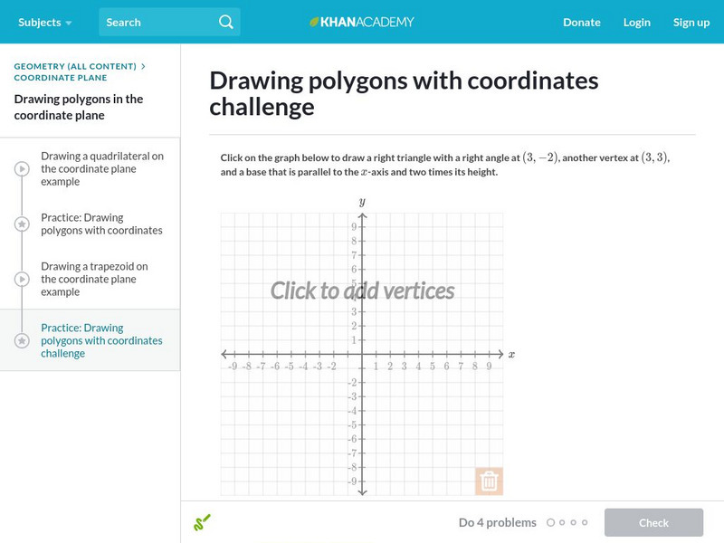
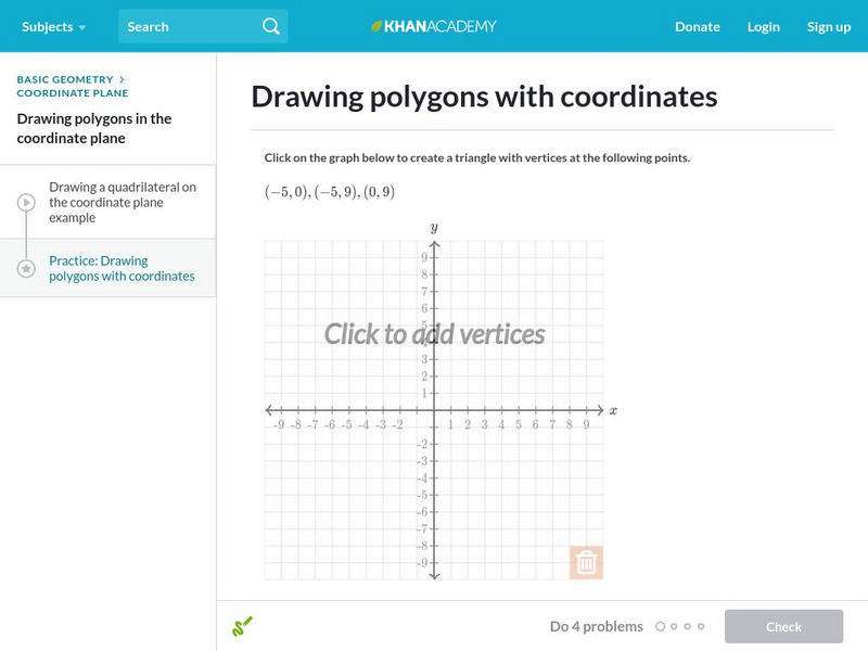
Khan Academy: Drawing Polygons With Coordinates
In this exercise, students practice drawing polygons with coordinates. Students receive immediate feedback and have the opportunity to get hints and try questions repeatedly.
Khan Academy
Khan Academy: Drawing Polygons With Coordinates 2
In this exercise, students practice drawing polygons with coordinates. Students receive immediate feedback and have the opportunity to get hints and try questions repeatedly.
Virtual Nerd
Virtual Nerd: How Do You Identify Points on a Graph?
Learn how to plot a point on a coordinate plane, identify the ordered pair, and figure out which quadrant the point is in. This video shows examples along with hints and tricks. [7:17]
Khan Academy
Khan Academy: Drawing Polygons With Coordinates
Practice drawing shapes on the coordinate plane. Students receive immediate feedback and have the opportunity to try questions repeatedly, watch a video or receive hints.
Other popular searches
- Global Grid System
- Grid System Drawing
- Mapping Grid System
- Grid System Art
- Drawing With a Grid System
- Texas Grid System
- Grid System Worksheets
- Map Features Grid Systems
- Map Features "Grid Systems
- Map Features "Grid Systems"
- Alphanumeric Grid Systems


