Hi, what do you want to do?
American Geosciences Institute
American Geosciences Institute: Climate and Weather
Eight hands-on lessons module in which students explore climate and weather. Inquiry-based investigations include observing weather, weather reporting, weather maps, weather satellites, causes of weather, and climate change.
NASA
National Aeronautics and Space Administration: Scijinks: Satellites Technology
Describes satellites including what they are used for, important roles they play, how a weather satellite is built, and how a satellite stays in orbit using text and video of varying length.
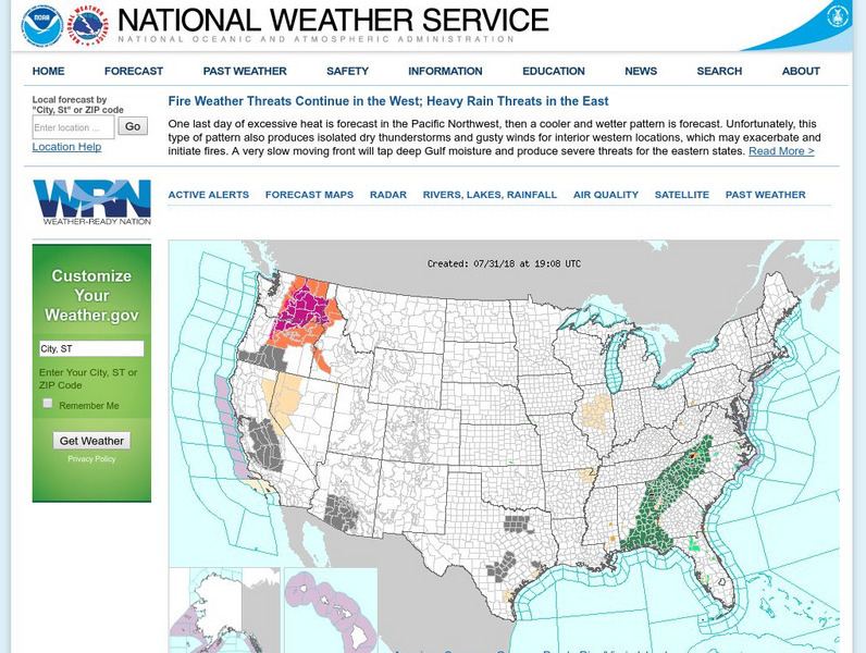
National Weather Service
National Weather Service
Official United States Weather Bureau source for weather maps and forecasts. Contains forecasts, maps, warnings, data, current conditions, and storm warnings.
TeachEngineering
Teach Engineering: Weather and Atmosphere
In this unit, students learn the basics about weather and the atmosphere. They investigate materials engineering as it applies to weather and the choices available to us for clothing to counteract the effects of weather. Students have...
Other
Weather Underground: The Authority in Expert Weather
Weather maps, forecasts, radar, NEXRAD, satellite images, and lifestyle weather reports for the United States and world. Includes Dr. Dewpoint and Weather 101 sections for educational use.
Discovery Education
Discovery Education: Weather Maps
This site provides a lesson plan in which groups of learners will each investigate a different type of weather map use for weather forecasting. Also includes discussion questions, extension ideas, and links to additional sites for more...
Space Telescope Science Institute
Hubble Site: Hubble Monitors Weather
This site is from Hubblesite which is provided by the National Aeronautics and Space Administration. "What's the weather for Mars and Venus? The Hubble telescope has given astronomers a peak." Site provides images, video as well as...
Other
Bright Hub: Technology Used to Collect Weather Data
Technology used to collect weather data employs a number of devices such as satellites and weather balloons to perform a very important function to our daily living; forecasting the weather.
Other
Radley College Geography Department: Latest Weather
Many weather maps including world satellite images, jet streams, tropical storm trackers, temperatures and many more.
University of Michigan
University of Michigan: Usa Weather
This site gives current weather information by state.
NOAA
Noaa: National Weather Service: The Sun and Its Effect on the Earth [Pdf]
The Space Environment Center (SEC) put together a slide show for use by teachers on Space weather. Begin with discussing solar emission and the sun itself. Then end with a summary of climatic effects of space weather, and a note on space...
USA Today
Usatoday.com: Understanding Weather Technology
An article describing current technologies that are used to predict weather.
Other
Russia's Weather Server
This site lets you access current and average weather data for a number of Russian cities. You can also look at forecasts, get beach weather and sea surface temperatures, and get satellite data for Russia.
University of Wisconsin
Ssec: Real Time Imagery and Data: Satellite Images of the Earth
Check out real-time satellite photos of the earth to study weather patterns.
TeachEngineering
Teach Engineering: Mind Bending Gps Occultations
Students learn about the remote sensing radio occultation technique and how engineers use it with GPS satellites to monitor and study the Earth's atmospheric activity. Students may be familiar with some everyday uses of GPS, but not as...
University of Texas at Austin
University of Texas: Hurricane Rita Maps
Web page with a large quantity of links to information on Hurricane Rita including maps, aerial images, satellite images, data, and much more.
NOAA
Noaa: Education Resources
Links to earth science sites, including safety tips, fun activities, general earth science information, and daily weather reports and more.
Dan Satterfield
Dan's Wild Weather Page: Hurricanes
Use this site to find out about hurricanes and how to track them.
Other
Hong Kong Observatory: Meteorology
A useful page from the Hong Kong Observatory offering introduction to weather and weather phenomenon. Learn about thunderstorms, tides, monsoon season, weather radar, and weather in space. Not a slick site but informative. Most...
Other
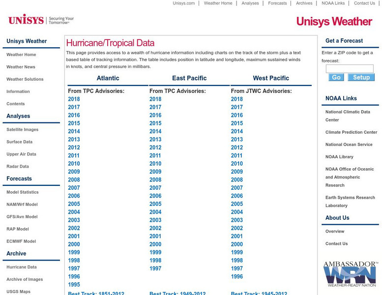
Unisys: Hurricanes/tropical Data
There is a table that has links to hurricanes in the Atlantic from 1995, East Pacific from 1997, West Pacific from 1996, South Pacific from 2000, and South India from 2000. This page has a satellite map and the Saffir-Simpson Scale.
Other
Smis: Daily Satellite Photo: European Russia, Western Siberia, North East Europe
This site offers weather maps for three areas: European Russia, Western Siberia, and Northeast Europe. The maps show very current weather conditions for each area.
Science Education Resource Center at Carleton College
Serc: How Does the Temperature of the Great Lakes Change Over Time?
This activity allows students to use water surface temperature, bathymetric data, and weather data to look at trends in the water temperature of the Great Lakes.
Center for Educational Technologies
Severe Weather: Hurricane Watch
Hurricanes are the most powerful of storms. Using satellite images, this site allows you to plot the path of a hurricane and predict when it will strike land.
University Corporation for Atmospheric Research
Ucar: Remote Sensing
Discusses the importance of radar and satellite sensing in weather forecasting. Well illustrated with useful animations showing how radar and satellite sensing works.


