Curated OER
Absolute Location Using GPS Technology
GPS is great for identifying your position, but is it finding your relative or absolute location? Ninth graders explore the difference between absolute and relative location, use the standard grid system coordinate system, and use GPS to...
Arizona Cooperative Extension
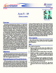
Geocaching
Using GPS units, small groups participate in a scavenger hunt to find an object that you have hidden. They use coordinates for stopping points along a pre-planned path to get to the final cache. This is a terrific activity to include in...
Texas Education Agency (TEA)
GIS GPS in Agriculture
Let's navigate! Using the informative resource, pupils perform a WebQuest on the benefits of Geographic Information Systems and Global Positioning Systems. Then, they write a brief summary describing how both systems benefit the...
Curated OER
GPS Sports Field Activity
Students practice using GPS receivers and explore how knowing the coordinates of two locations allows them to determine the distance between those two points. They use the theory that they already had knowledge of and apply it to a...
Curated OER
Where is Sophie?
Students use GPS to scrutinize the movements of a grizzly bear named Sophie. They answer a series of questions like; where she forages, her zone of influence, and human interaction. They read the story of Sophie, the collared bear in...
Curated OER
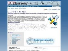
TE Lesson: GPS on the Move
Students participate in a scavenger hunt and a drawing activity to examine the use of Global Positioning Systems including a handheld GPS receiver for personal navigation. They practice using the GPS receivers while collecting data from...
Curated OER
Lesson on GPS
Learners investigate global positioning systems. In this technology and mapping lesson, students view a PowerPoint presentation in which they identify the features of a GPS, state its uses, and follow steps to find a waypoint.
Curated OER
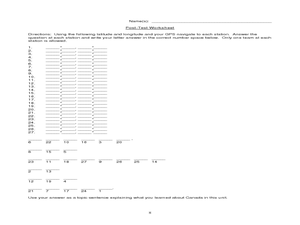
Canada Eh? Pre/Post Tests on Canada Using GPS
Young scholars participate in a GPS activity and answer questions about Canada. In this Canada lesson, students identify location by using a GPS Unit and latitude and longitude. Young scholars find an Inuksuk (station) and a complete...
University of Georgia
Using Freezing-Point Depression to Find Molecular Weight
Explore the mathematical relationship between a solvent and solute. Learners use technology to measure the cooling patterns of a solvent with varying concentrations of solute. Through an analysis of the data, pupils realize that the rate...
Curated OER
GPS Treasure Hunt
Students explore geography by participating in a treasure hunt activity. In this Global Positioning System lesson, students define the terms latitude and longitude while utilizing an electronic GPS device. Students view a PowerPoint...
Curated OER
Meet Geodesy-The Science Behind GPS
Students discover how a datum of reference points are used to to describe a location. In this Earth Science lesson, students will simulate how a GPS accurately determines the location of reference points within a datum.
Space Awareness
Where on Earth Am I?
Almost every phone has GPS installed, but a large number of teens don't know how the technology works. An initial activity illustrates how GPS determines a location on Earth. Scholars then apply trilateration procedures to a...
National Woman's History Museum
Hedy Lamarr, An Inventive Mind
Hedy Lamarr led a double life. Best known as an actress, Lamarr was also a brilliant inventor, responsible for the technology found in Wi-Fi, GPS, and Bluetooth. After studying primary and secondary source materials, groups conduct an...
Teach Engineering
Projections and Coordinates: Turning a 3D Earth into Flatlands
Introduce your class to map projections and coordinates, the basics for the work done in a GIS, with an activity that uses Google Earth to challenge learners to think about the earth's shape.
Curated OER
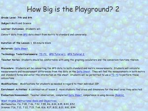
How Big Is The Playground?
Students calculate the standard and metric measurements of a playground. In this measurement instructional activity, students use GPS coordinates and graphing calculators to determine the dimensions of an area outside of the school in...
Curated OER
GPS Scavenger Hunt
Students go on a GPS scavenger hunt. They use GPS receivers to find designated waypoints and report back on what they found. They compute distances between waypoints based on the latitude and longitude, and compare with the distance the...
Space Awareness
Let's Map the Earth
Before maps went mobile, people actually had to learn how to read maps. Pupils look at map elements in order to understand how to read them and locate specific locations. Finally, young cartographers discover how to make aerial maps.
Curated OER
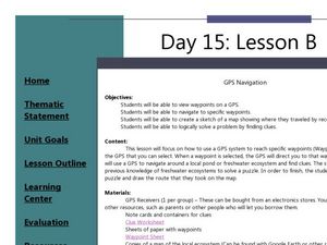
GPS Navigation
Students search for clues given a map and a GPS. For this technology lesson, students solve a puzzle using the clues they gathered in the activity. They write a short reflection about the activity.
Curated OER
The Grand Excursion GPS Map
Eighth graders investigate the uses of a global positioning system. They create waypoints and have to find them using the system. Students must review the geographical concepts of latitude and longitude. The media requirements of the...
Curated OER
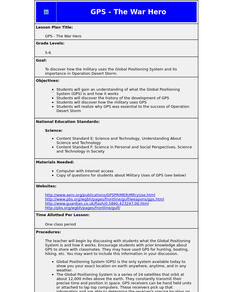
GPS - The War Hero
Young scholars understand what the Global Positioning System (GPS) is and how it works. They discover the history of the development of GPS and how the military uses GPS. They realize why GPS was essential to the success of Operation...
Curated OER
GPS Art
Young scholars design their own logo or picture and use a handheld GPS receiver to map it out. They write out a word or graphic on a field or playground, walk the path, and log GPS data. The results display their "art" on their GPS...
Space Awareness
How To Travel On Earth Without Getting Lost
Have you ever wanted to travel the world? Take a virtual trip with a geography lesson that uses longitude and latitude, the position of the sun, an astronomy app, and a classroom globe.
Teach Engineering
What is GIS?
Is GIS the real manifestation of Harry Potter's Marauders Map? Introduce your class to the history of geographic information systems (GIS), the technology that allows for easy use of spatial information, with a resource that teaches...
Curated OER
GPS Treasure Hunt for Knowledge
Students examine themselves as being part of a global community. In this global community instructional activity, students investigate GPS systems. Students gain knowledge on how the device works. Students discover that satellites...


