Kidport
Kidport: United States of America Geography
This site contains a fun way to learn about the states within the United States. Click on the state that you want to learn more about and it provides facts, geographic landmarks, points of interest, major industries, a quiz and more.
Houghton Mifflin Harcourt
Holt, Rinehart and Winston: World Atlas: United States
Features a detailed map of the United States with some basic facts. Click on each state name to get even a more detailed map and information.
University of Texas at Austin
Ut Library Online: Historical Maps of the United States
This extensive collection of Historical United States maps from the University of Texas Library Online cover early inhabitants, exploration and settlement, territorial growth, military history, and later historical maps. These maps are...
Pew Research Center
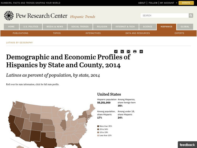
Pew Hispanic Center: Interactive Map: Where Latinos Live in the United States
Detailed population maps graphically demonstrate that changing demographics of the Hispanic population in the United States from 1980 to 2007.
NOAA
Noaa: Esrl: United States Climate Page
A "clickable" map of the US that allows you to find information about a state's or city's climate and climate history.
A&E Television
History.com: The States
Learn unique facts about each American state. You can also read a more in-depth history of each state, watch videos and play a game about all the states.
US Geological Survey
Usgs: Maps of the United States
Resource presents many maps of the United States along with descriptions of each.
Other
United States Postal Service
As an independent agency of the government, the United States Postal Service homepage offers information on zip codes, address change, stamps, online billing, and variety of other topics.
Smithsonian Institution
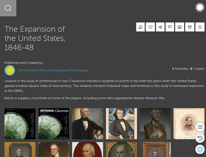
Smithsonian Learning Lab: The Expansion of the United States, 1846 48
This online lesson plan shows young scholars through primary sources how the borders of the U.S. changed in just a few years. They are asked to analyze maps and use map skills. All maps and worksheets are included as well as additional...
University of California
Earthguide: Maps: Shaded Relief: United States [Pdf]
View a digital image of a colored shaded relief map of the United States.
NOAA
Noaa: Esrl: United States Climate Page
A "clickable" map of the US that allows you to find information about a state's or city's climate and climate history.
US Geological Survey
United States Geological Survey: Topographic Maps
"Note: The information on this page is being retained for technical and historical reference only. The site is not under active maintenance and may include expired information and outdated links." This site gives an overview of the...
BBC
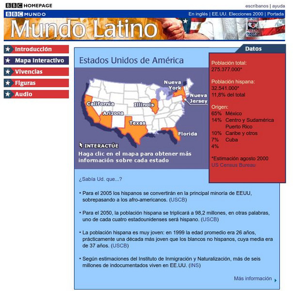
Bbc: Estados Unidos De America/united States of America
Review accurate and up to date statistics on the population of Hispanics in the United States. Click on the different states and find how Hispanics are becoming the number one minority in the United States.
Annenberg Foundation
Annenberg Learner: United States History Map: The Nation Expands
After examining a map showing the expansion of the United States, click to read about each addition to the country and see where that addition is. Play Expansion Concentration to test your skills.
Enchanted Learning
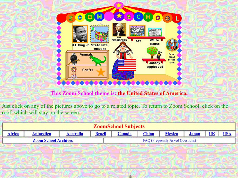
Enchanted Learning: Zoom School: United States of America
Use this resource to explore each state to get facts, maps and symbols; learn about the presidents; read about bald eagles and dinosaur fossils found in the U.S., find fun and exciting patriotic crafts and more.
US Department of Agriculture
United States Department of Agriculture: Usda Plant Hardiness Zone Map
Interactive USDA Plant Hardiness Zone Map shows which plants are most likely to thrive at a specified location. Searchable by zip code, state , or temperature.
University of Texas at Austin
Perry Castaneda Library Map Collection: u.s. Maps
At this site find any type of map on the U.S. and any of its states here. Great site for teachers to print out maps to use in the classroom.
Annenberg Foundation
Annenberg Learner: United States History Map: 50 States
Read about the regions of the United States, find the states in those regions on maps, and play a game to locate the states. A great interactive review.
Other
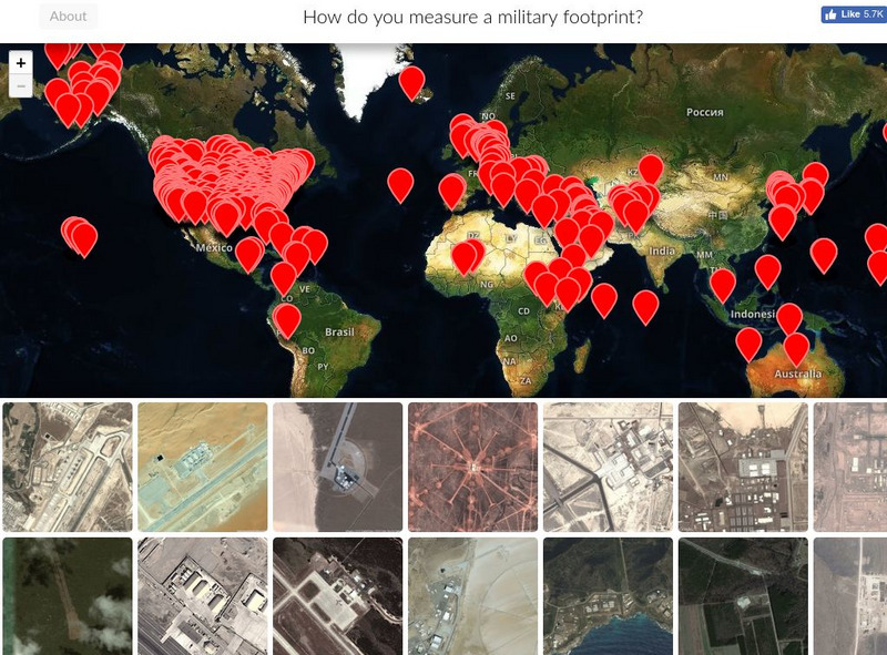
Mapping United States Military Installations
How do you measure a military footprint? In people? Dollars? Space? This website is an ongoing attempt to map one aspect of that question- by visualizing the location of United States military installations.
US Navy
United States Naval Observatory Homepage
United States Naval Observatory is a unique observatory run by the Navy. It does some of the grunt work of astronomy -- keeping accurate time, determining positions of stars (astrometry), etc. They are responsible for publishing the...
Annenberg Foundation
Annenberg Learner: u.s. History Map Interactive
Become a geography whiz as you learn how the United States was settled. Discover how the continent was irrevocably changed by European colonization, the events that caused the wholesale displacement and decimation of the land's original...
Other
Mla: Language Map
An interesting, interactive way to view the many languages spoken in the United States. This site is filled with data, interpretation of data, interactive maps, ways to use the data, and ways to compare languages spoken in states.
University of Texas at Austin
Perry Castaneda Library Map Collection: Maps of u.s. National Parks
Alphabetical list of maps of United States National Parks and monuments produced by the U.S. National Park Service.
Other popular searches
- United States Maps Regions
- Northeast United States Maps
- 50 United States Maps
- Create United States Maps
- Western United States Maps
- Custom United States Maps
- Outline Maps United States
- Blank United States Maps
- Maps, United States Rivers
- Maps United States Capitals
- Maps of the United States
- Maps United States


