Curated by
ACT
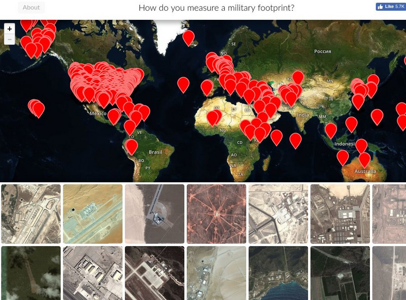
This Mapping United States Military Installations graphic also includes:
How do you measure a military footprint? In people? Dollars? Space? This website is an ongoing attempt to map one aspect of that question- by visualizing the location of United States military installations.
3 Views
0 Downloads
Additional Tags
Classroom Considerations
- This resource is only available on an unencrypted HTTP website.It should be fine for general use, but don’t use it to share any personally identifiable information
