Institute for Geophysics
Understanding Maps of Earth
Here is your go-to student resource on primary geography concepts, including facts about the surface of the earth and its hemispheres, latitude and longitude, globes, types of maps, and identifying continents and oceans.
Texas State Energy Conservation Office
Investigation: Concept Mapping Fuels
After reading an article, "Fuels for Everything," collaborative groups create a concept map poster of the transportation and non-transportation fuels. This makes a strong introduction to the different types of fuels used for transportion...
US Environmental Protection Agency
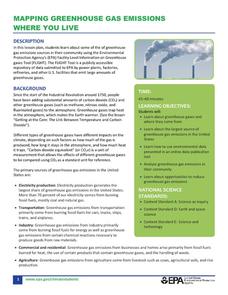
Mapping Greenhouse Gas Emissions Where You Live
After investigating the US Environmental Protection Agency's climate change website, your environmental studies students discuss greenhouse gas emissions. They use an online interactive tool to look at data from power production...
Rainforest Alliance
Knowing the Essential Elements of a Habitat
To gain insight into the many different types of habitats, individuals must first get to know their own. Here, scholars explore their school environment, draw a map, compare and contrast their surroundings to larger ones. They then...
Texas Heart Institute
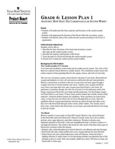
Anatomy: How Does the Cardiovascular System Work?
How can the circulatory system compare to a city map? Pupils distinguish the "roadways" and "vehicles" of the cardiovascular system, compare the anatomy and function of veins and arteries, and review different types of blood cells with...
It's About Time
Volcanic History of Your Community
Did you know there are 20 volcanoes erupting at any given time? Pupils look at various igneous rocks, read local geologic maps, and determine if their area has a history of volcanic activity. A reading passage and analysis questions...
Oregon State
World Map of Plate Boundaries
Young geologists piece together the puzzle of plate tectonics in an earth science lesson. Given a physical map of the world, they search for land formations that indicate the location of different types of plate boundaries.
Curated OER
Symmetries of a Quadrilateral I
Learners examine the properties of quadrilaterals from the point of view of rigid motion. Different types of quadrilaterals are characterized by their symmetries, so learners explore the symmetries of a described quadrilateral to...
National Park Service
Petrified Forest National Park
Poetry Soup, a reading and writing unit constructed by the Petrified Forest National Park, will have scholars hungry to learn about nature. The cross-content unit contains topics related to history, science, and language arts. Content...
Weebly
Liberty Theme Park Project
Invite your young historians to demonstrate how the American Revolution truly was one crazy ride after another as they design a theme park! This unique and engaging project prompts learners to consider major events leading up to and...
GCSE Modern World History
Mao's China
Here is a great textbook chapter on China's establishment as a communist state in 1949 and the effects of World War II on the nation. The first page prompts learners to complete a timeline activity as they read the material,...
Curated OER
Ecozones Project
Learners examine, detail and produce a display about a particular ecozone in Canada. They produce a detailed wall map, written report and a summary sheet.
National Park Service
News Bearly Fit to Print
There are an average of three human fatalities by bears in North America every year, which is low when you compare it to the 26 killed by dogs and the 90 killed by lightning annually. The lesson encourages researching human-bear...
NASA
Erosion and Landslides
A professional-quality PowerPoint, which includes links to footage of actual landslides in action, opens this moving lesson. Viewers learn what conditions lead to erosion and land giving way. They simulate landslides with a variety of...
University of Waikato
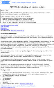
Investigating Soil Moisture Content
Class members analyze the water content in soil samples by drying out the samples and taking measurements every minute until all the moisture is gone. Scholars compare the initial weight to the dried weight to calculate the percentage of...
MARS - Mathematics Assessment Resource Service
Applying Properties of Exponents
The properties of exponents are all linked together and it is your mathematicians' job to discover and apply those rules. The comprehensive lesson begins with a pre-assessment task to check for prior knowledge and then goes into a...
Howard Hughes Medical Institute
Measuring Biodiversity in Gorongosa
Take your biology class' understanding of biodiversity to a whole new level! Ecology scholars use data to calculate three different diversity indices based on the organisms in the Gorongosa National Park. The four-part activity uses an...
Beauty and Joy of Computing
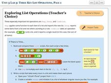
Three Key List Operations
Develop an understanding of the Map, Keep, and Combine operations. The lab leads the class through the exploration of three list operations. Each task contains a self-check to measure scholars' understanding of the operation in the...
Food Project
Trace The French Fry
How does locally grown produce sold at a farmer's market compare to a more complex industrial system in the way they each affect the environment, people, and the economy? Pupils explore the different types of food systems and how they...
Teach Engineering
Drawing Magnetic Fields
Class members use a compass and several points to map out the magnetic field of a magnet. Pairs trace the magnetic field lines produced by a permanent magnet by positioning the compass in numerous spots around the magnet to view the...
Smarter Balanced
Exploring the World
To prepare for the Exploring the World Performance Task, class groups generate a list of places they would like to explore, examine images of seven natural wonders of the world, and consider why these sites are wondrous. A map and images...
National Nanotechnology Infrastructure Network
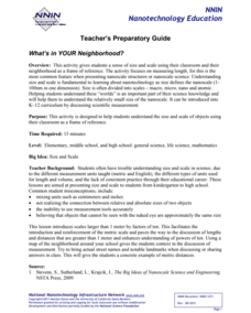
What’s In Your Neighborhood?
Chart your way to an understanding of nanoscale. Using a Google map, learners estimate a radius around their location of 1,000 and 1,000,000 meters. Predicting what 1,000,000,000 meters would look like takes them off the charts!...
Howard Hughes Medical Institute
Lactase Persistence: Evidence for Selection
What's the link between lactase persistence and dairy farming? Biology scholars analyze data to find evidence of the connection, then relate this to human adaptation. Working individually and in small groups, learners view short video...
Curated OER
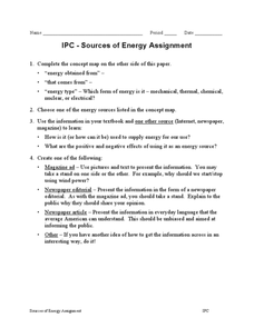
IPC-Sources of Energy Assignment
In this sources of energy worksheet, students complete a concept map and they choose one of the sources of energy in the concept map to research. They create a magazine ad, a newspaper editorial, a newspaper article or any other creative...
Other popular searches
- Different Types of Maps
- Reviewing Types of Maps
- Types of Maps Grids
- Types of Maps Worksheets
- 10 Types of Maps
- Three Types of Maps
- 2 Types of Maps
- Types of Maps Australia
- Types of Maps "Australia
- Types of Maps "Australia"
- Maps Types Key Symbols


