Teach Engineering
Who Can Make the Best Coordinate System?
Working with a map that does not have a coordinate system on it, small, collaborative teams must come up with a coordinate system for their map. Groups then explain their coordinate structure to the class.
Curated OER
Where in the World? :Understanding Latitude and Longitude
Students play a grid-based game and devise clues to help classmates locate spots on the globe in order to recognize the value of using longitude and latitude for identifying locations.
Curated OER
More Than One Grain of Rice
Students explore mathematics, geography and agriculture by studying world rice production. In this production of rice lesson plan, students read One Grain of Rice and use a worksheet grid to calculate how much rice was received. Students...
Curated OER
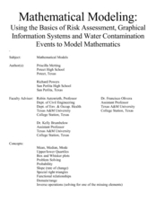
Mathematical Modeling
Study various types of mathematical models in this math lesson. Learners calculate the slope to determine the risk in a situation described. They respond to a number of questions and analyze their statistical data. Then, they determine...


