Curated OER
Earth Viewer Welcomes You- Web View of the Earth
In this science and Internet technology worksheet, students access the given web site to look at a current view of the Earth's surface. They enter longitude and latitude co-ordinates before answering 8 questions. They change the...
Oregon State
World Map of Plate Boundaries
Young geologists piece together the puzzle of plate tectonics in an earth science lesson. Given a physical map of the world, they search for land formations that indicate the location of different types of plate boundaries.
International Technology Education Association
Become a Weather Wizard
Accurate weather forecasting is something we take for granted today, making it easy to forget how complex it can be to predict the weather. Learn more about the terms and symbols used to forecast the weather with an earth science lesson...
Geophysical Institute
Latitude and Longitude with Google Earth
Travel the world from the comfort of your classroom with a lesson that features Google Earth. High schoolers follow a series of steps to locate places all over the earth with sets of coordinates. Additionally, they measure the distance...
Curated OER
Reading Comprehension Worksheet: Planet Earth
After reading five short paragraphs about planet earth, students must answer 4 comprehension questions about the topic. This worksheet provides great practice for state testing in language arts.
Curated OER
Do The Research!: Earth
Students are given "High's and Low's" as a topic to research about the Earth. They must answer 3 questions according to their research. This would be a great worksheet to complete in the computer lab or library.
PBS
Technology: Conveniences and Consequences
It's a delicate balance—using technology to improve our lives while still protecting the environment, and ourselves, from the hazards of technology use. Class members examine statistics about the increase in media use, complete a survey...
Teach Engineering
Projections and Coordinates: Turning a 3D Earth into Flatlands
Introduce your class to map projections and coordinates, the basics for the work done in a GIS, with an activity that uses Google Earth to challenge learners to think about the earth's shape.
BBC
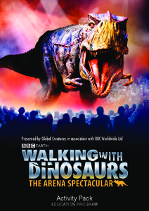
Walking with Dinosaurs
Breath new life into your class's study of dinosaurs with this extensive collection of materials. Offering everything from a printable T-rex mask, word searches, and connect-the-dots activities to informational handouts, hands-on...
NASA
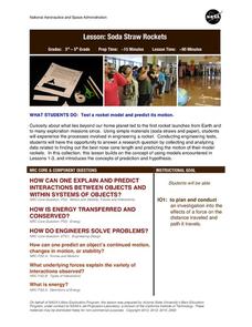
Soda Straw Rockets
Three, two, one, blast off to a better understanding of force and motion with this exciting science lesson! Beginning with a discussion about rockets and gravity, young scientists go on to complete a series of worksheets about net...
Messenger Education
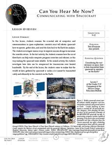
Can You Hear Me Now?—Communicating with Spacecraft
Radio signals transmitted to Pluto take five hours to reach their destination! In these two activities, young scientists explore data communication in space. In activity one, pupils learn how data is gathered and sent back to Earth....
Curated OER
The Origin of Life
In this origin of life worksheet, learners write answers to five questions. They describe characteristics of the first life forms and how scientists believe oxygen accumulated in the Earth's atmosphere.
Teach Engineering
An Inflated Impression of Mars
Help your class understand the magnitude of the distance between Earth and Mars with an activity that asks small groups to use balloons to create scale models of the Earth, Moon, and Mars. Class members figure out the distances...
NASA
Is It Alive?
Determining whether or not something is living can be more difficult than it seems. Put your young scientists to work defining their own criteria to identify life, then work with three samples to see if they are alive or...
Curated OER
The Human Footprint
In this environmental stewardship lesson, students view the human footprint website and then answer 3 short answer questions related to human impact on the earth.
International Technology Education Association
Tidy Up Those Sloppy Force Fields!
It is just magnetic. This resource presents the concept of Earth's and another planet's magnetic field and how spacecrafts detect them. Learners study a problem using magnetometers and participate in three experiments to come up with a...
NASA
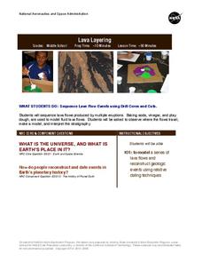
Lava Layering
Take the old baking soda and vinegar volcano to the next level by using it to study repeated lava flows over time, examine geologic features on Earth and Mars, and speculate about some of the formations on Mars.
NASA
Speaking in Phases
Hear from deep space. Pupils learn how satellites transfer information back to Earth. They learn about three different ways to modulate radio waves and how a satellite sends information with only 0s and 1s. Using sound, class members...
NASA
Keeping Nine Eyes on the Weather
Take a look at climate change from another angle. Readers learn about the MISR instrument on the Terra satellite and how it studies Earth. Pupils experience how the multiple cameras give scientists multiple views so they can better study...
NASA
Water Works on a Blue Planet
Keep within a water budget. Learners find out that less than 2.5% of Earth's water is available to drink—and that there is a fixed amount of water. Scholars read an interesting article comparing the available water to a game of Monopoly...
Curated OER
Cryosat Mission
Beginning with general information on satellites and seasons, concluding with polar ice and the Cryosat Mission, this worksheet gives your earth scientists an opportunity to conduct some research. Most of the assignment consists of short...
Sea World
Endangered Species
Study different endangered species with several activities that incorporate math, science, language arts, and research strategies. A great addition to your activity on conservation or Earth Day.
Curated OER
Learning Outcomes
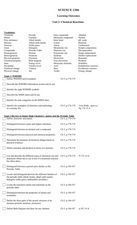
In this science worksheet, students explore the learning outcomes for a unit on chemical reactions. Students define 60 vocabulary words and answer a list of questions for each topic.
Curated OER
Exploring Earth Through Maps and Technology
In this maps worksheet, students read 3 pages of detailed information about maps, latitude, longitude, topography, satellites and global positioning. Students then answer 10 questions. There is also a research project assignment available.


