Curated OER
Hurricanes
Students use the internet to research the characteristics of hurricanes. Using this information, they read about past hurricanes and use a weather map to trace current disturbances in the oceans. They also discuss hurricane safety and...
Curated OER
Extreme Weather!
Young scholars develop an awareness of basic meteorology and related earth science topics. They reinforce geographical knowledge and build analytical and communications skills through class presentations. Students research exciting...
Curated OER
Uses of Numbers 3
In this number uses worksheet, learners tell how each number is being used. Students write position, count, measure, or label for each given problem. learners then complete a problem solving word problem where they must identify the...
Curated OER
Victims of Geography
Students examine the toll taken on New Orleans by Hurricane Katrina. In this current events lesson, students visit selected websites to discover details about the geography of the city and the hurricane itself.
Curated OER
Subsidence/ Erosion
Students utilize prior knowledge about the Pontchartrain Basin. In this subsidence/erosion lesson, students study the chart on land subsidence and must them identify and find solution for problems caused by erosion.
Curated OER
P.H.A.T Log
Students complete a P.H.A.T Log which records their nutrition and daily activities. They complete a reflections journal based on the entries.
Curated OER
Acid Rain
Learners identify the causes and effects of acid rain. Using the internet, they research pollution sources in their local area and by collecting rain samples and testing the pH. In groups, they develop their own plan urging local...
Curated OER
What's Going to Happen at Any Given Barometer Reading?
Fourth graders brainstorm a list of words associated with weather. In groups, they sort the words into categories and observe the weather in their area for a month. To end the lesson, they compare the barometer measurements for a...
Science Buddies
Science Buddies: Tracking Geomagnetic Storms in the Ionosphere
The Sun is the ultimate source of the energy that powers weather systems on Earth. Geomagnetic storms are sun-powered storms in the upper atmosphere, arising from energized particles that are periodically ejected by the Sun. Among other...
Other
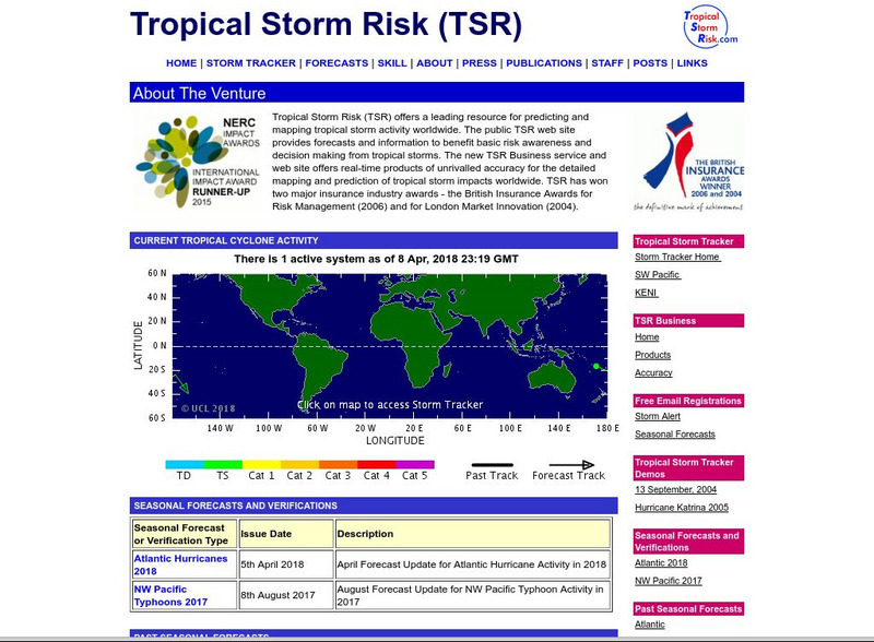
Tropical Storm Risk
The tropical storm risk tool allows you to track tropical cyclones around the world. Get data on their size, location and future course.
Science Education Resource Center at Carleton College
Serc: Exploring and Animating Goes Images
Students learn how to transform a series of GOES images into an animation, and how to create a storm track from that animation. By synthesizing information from the track and other sources, students determine storm speed and direction.
TED Talks
Ted: Ted Ed: How to Track a Tornado
In this TEDYouth Talk, Kosiba describes how she and her team use observations and modeling to track super storms, while sharing some incredible footage from the field.
American Geosciences Institute
American Geosciences Institute: Earth Science Week: Hurricane Tracking
Learners track and plot hurricanes paths for study.
Dan Satterfield
Dan's Wild Weather Page: Hurricanes
Use this site to find out about hurricanes and how to track them.
NOAA
Noaa: Storm Tracks
Monitor the evolution of storms in the northern and southern hemispheres using data such as sea level pressures, wind speed and wave height. Records go back as far as 90 days.
NOAA
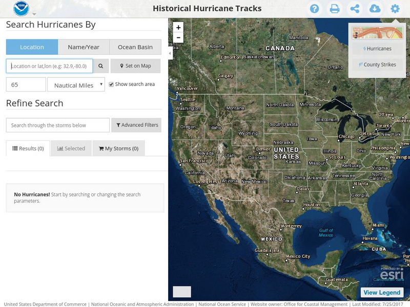
Noaa: Historical Hurricane Tracks
Enter storm names, dates, locations, or oceans to collect data of hurricanes from their path, dates of impact, and the intensity of the storms.
TeachEngineering
Teach Engineering: Hurricane! Saving Lives With Reasoning & Computer Science
Students develop and apply the distance formula and an x-y coordinate plane on a hurricane tracking map, and then use a map scale to determine distance in miles. Then, using MATLAB computer science programming language, students help...
Tramline
Hurricane Virtual Field Trip
What conditions are necessary to create a hurricane? Where do hurricanes occur? When is hurricane season? What is the difference between a tropical cyclone and a hurricane? How is the strength of a hurricane measured? Where do hurricanes...
NASA
Nasa: Hurricanes
Learn about hurricanes and how they are created. Features include video animation, the histories of the most devastating hurricanes and topics such as hurricane naming and hurricane study.
TeachEngineering
Teach Engineering: Distorted Disturbances
Students pass around and distort messages written on index cards to learn how we use signals from GPS occultations to study the atmosphere. The cards represent information sent from GPS satellites being distorted as they pass through...
TeachEngineering
Teach Engineering: Mind Bending Gps Occultations
Students learn about the remote sensing radio occultation technique and how engineers use it with GPS satellites to monitor and study the Earth's atmospheric activity. Students may be familiar with some everyday uses of GPS, but not as...
Science Education Resource Center at Carleton College
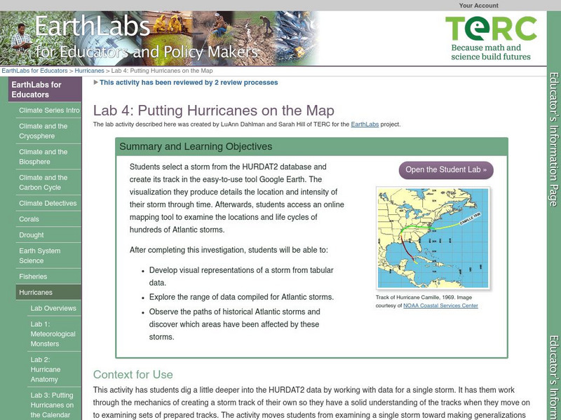
Serc: Lab 4: Putting Hurricanes on the Map
A lab experiment in a series of experiments that explores hurricanes. In this particular lab, students choose a storm through HURDAT data base. After choosing the storm, students use Google Maps, NHC Summary Report and NOAA's online...
Geographypods
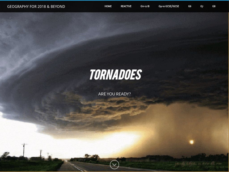
Geographypods: Tornadoes
This learning module looks at how and where tornadoes form, the damage they do, the loss of human lives, the cost, safety measures, what to do when a tornado is approaching, famous tornadoes, the practice of storm chasing, and how...
USA Today
Usa Today: El Nino and La Nina
USA Today presents a regularly updated archive of El Nino and La Nina stories, descriptions, and overviews. An excellent resource to learn what these storms are, how they began, and their onging history.


