Curated OER
Continents Lesson
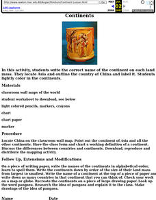
Fourth graders write the correct name of the continent on each land mass. They locate Asia and outline the country of China and label it. They lightly color in the continents.
Curated OER
A Brief History of Vietnam (1858-2004) and Its Evolving Communist System
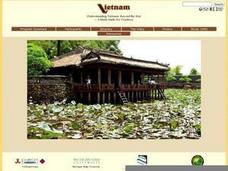
High schoolers examine the French colonization of Vietnam, the Vietnam War, and the current evolving Communist system. They develop political maps, outline the major events of the Vietnam War, write an essay, and compare/contrast...
Curated OER
Drake’s West Indian Voyage 1588-1589
Students examine the exploration routes of Sir Francis Drake. In this American exploration lesson, students investigate primary sources to trace the routes and contact with the natives that Sir Francis Drake experienced on his voyages in...
Curated OER
The Age of Exploration
Students apply computer skills to gain further insight into early exploration. They analyze the role of each explorer and evaluate their importance. Students comprehend the Chronology of Discovery and Trade of early explorers. They...
Curated OER
Amazon Rainforest Unit
Learners study the Amazon Rainforest. In this geography skills lesson plan, students complete assigned textbook reading on the region and then complete an Internet activity that requires them to identify countries in the region as well...
Curated OER
A Study of Panama
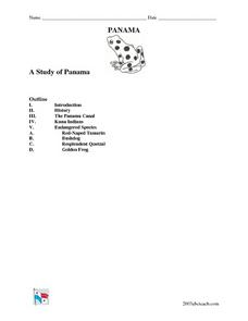
In this worksheet on Panama, students read an introduction about Panama, then read about its history, The Panama Canal, the Kuna Indians and the Endangered Species of Panama. After each selection, students answer a set of related questions.
Curated OER
Earth Science: In Depth Look at Earthquakes
Students engage in an interactive Internet lesson covering the reasons and results of earthquakes. After reading eyewitness accounts and viewing animations, they use seismograms to measure and locate the epicenters. In an ongoing study,...
Curated OER
Minuteman Missile National Historic Site
Learners examine the difference between the Cold War and the "hot" wars and contrast the benefits of solid and liquid fuel ballistic missile systems of the era. The impact of the Cold War upon their communities is explored.
Curated OER
Educational Technology Clearinghouse: Maps Etc: South America, 1870
A map of South America from 1870 showing the political boundaries of the time. The map shows capitals, major cities, ports, rivers, terrain and coastal features. Mountain chains and systems are shown by hatchure. An outline map of...
Curated OER
Educational Technology Clearinghouse: Maps Etc: South America, 1906
A map of South America from 1906 showing the political boundaries of the time. The map shows capitals, major cities, ports, rivers, terrain and coastal features. An outline map of Pennsylvania at the same map scale is included to show...
Curated OER
Educational Technology Clearinghouse: Maps Etc: South America (Physical), 1901
A map from 1901 of South America showing the physical features of the region. This map is color-coded to show general elevations from sea level to over 6,500 feet, mountain systems, drainage divides, lakes, rivers, coastal features, and...
Curated OER
Educational Technology Clearinghouse: Maps Etc: South America, 1901
A map from 1901 of South America showing the political boundaries at the time, including Columbia (extending to Costa Rica), Venezuela, Guiana (British, Dutch, and French), Ecuador, Peru, Brazil, Bolivia, Chile, Argentine Republic, and...
Other
Las Huacas Del Sol Y De La Luna
Menu provides links to many aspects of the Moche Culture. Good pictures throughout the site. Excellent place to start for designing concept map or outline for lesson planning.


