Curated OER
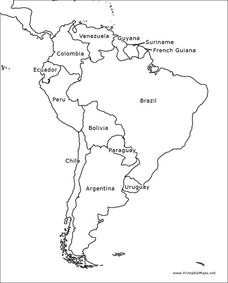
South America Outline Map
In this blank outline map learning exercise, learners explore the political boundaries of South America and the nations there. This map may be used in a variety of classroom activities. The map is labeled with the country names.
Curated OER
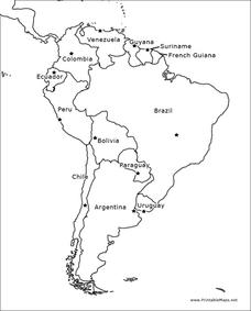
South America Outline Map
In this blank outline map worksheet, students explore the political boundaries of South America and the nations there. This map may be used in a variety of classroom activities. The location of the capital cities are denoted with...
NASA
Outline Maps
Don't miss this gold mine of blank maps for your next geography lesson! Regions include traditional continents such as Asia, Europe, and Africa, as well as other major world areas such as the Pacific Rim and the Middle East.
Curated OER
South America Outline Map
In this outline map worksheet, students discover and investigate the continent of South America. No country borders or physical features are depicted. This blank outline map may be used for a variety of classroom activities.
Curated OER
South America Outline Map
For this outline map worksheet, students discover and investigate the physical boundaries of the countries in South America. The names of countries and a star to mark the capital city are included.
Curated OER
Mapping South America
Middle schoolers explore South America. In this South American lesson, students use their geography skills to create population, terrain, biomes/vegetation, and major exports maps. Middle schoolers present their finished maps to their...
Curated OER
South American Outline Map
In this blank outline map worksheet, students study the political boundaries of the continent of North America and those of the countries located there.
Curated OER
Americas: Political Map
In this North America and South America outline map worksheet, students examine the political boundaries of the 2 continents.
Curated OER
South America Map
In this South America political map worksheet, learners examine the country boundaries. The map also labels each of the countries and their capitals.
Curated OER
Geography of South America
Students explore South America. In this geography skills lesson, students watch a video about the geographical features of the continent. Students complete worksheets on the topic.
Curated OER
Latin America Map Quiz
In this Latin America map quiz worksheet, students label all of countries on Central and South American shown on the blank outline map.
Curated OER
Rivers, Maps, and Math
Students use maps to locate and label the major rivers of North and South America. Using the internet, they identify forests, grasslands, mountain ranges and other landforms on the continents as well. They compare and contrast the...
Curated OER
World Map Labels
In this geography skills worksheet, students identify the countries and bodies of water labelled on the maps of the world, Africa, Asia, Canada, Europe, the Caribbean, the Middle East, North America, Australia, and South America.
Curated OER
Across the United States- Home Learning Activity
In this home-school United States map worksheet, students work with a family partner as they study a map of the United States. They talk about the states they have visited, play a game by giving each other clues about states, and write...
Curated OER
The Exploration and Settlement of North America
Students locate place in Canada and explore highlights of early of early American exploration and settlement. In this North American history instructional activity, students locate provinces, major cities, and physical features...
Curated OER
Natural History of Costa Rica
Students use outline maps to become acquainted with Costa Rica. They see how it was formed and how its origin has created very diverse environments. Students then use atlases and compare their physical maps with maps of climate and the...
Curated OER
OPEC and the Energy Crisis
Students color the Middle East Nations of OPEC on outline maps. They discuss and watch a video about the United States reliance on oil producing nations of the Middle East. They participate in a discussion of the problems of the gas...
Curated OER
Continents
Learners investigate World Geography by researching the different continents. In this Asian Geography lesson, students discuss the continent of Pangaea and color a worksheet of the continents. Learners locate China on the map worksheet...
Curated OER
Our States, My State
Here is a very nice lesson on the shape of the United States, and the shapes of the individual states for your young geographers. They utilize worksheets embedded in the plan to color in a variety of states and to become familiar with...
Curated OER
Our States, My State
Students examine the Louisiana state quarter and locate Louisiana on a map of the U.S. They relate the location of Louisiana to other states (and vise versa) using directions and the compass rose.
Curated OER
Seed Selection for Genetic Variation
Students will research the origin of corn, analyze factors that contribute to shorter and longer growing seasons, and use the scientific method to answer the question: Did seed selection contribute to the successful movement of corn from...
California Polytechnic State University
Australian Geography Unit
At the heart of this resource is a beautifully detailed PowerPoint presentation (provided in PDF form) on the overall physical geography of Australia, basic facts about the country, Aboriginal history, and Australia culture and lifestyle.
Curated OER
How do we measure global earthquakes?
Students examine three seismograms of a recent South American earthquake recorded by USGS stations. They measure the S-P distance and use a P and S wave travel-time graph to find the epicenter distance for each seismogram. In addition,...
Curated OER
Book: Latinos Today: Facts and Figures
Students, after reading Chapter 1 in the book, "Latinos Today: Facts and Figures," identify and characterize the four main ethnic/racial groups in America. They calculate and design a bar graph showing their populations by their...


