Curated OER
South America Map Quiz
In this online interactive geography quiz worksheet, students examine the map that includes all of South America's countries. Students identify the 13 countries in 2 minutes.
Curated OER
South America and Central America Capitals Map Quiz
In this online interactive geography quiz activity, students examine the map that includes all of Central and South America's countries. Students match each of the country names to the appropriate locations on the map.
Curated OER
South America and Central America Map Quiz
In this online interactive geography quiz worksheet, learners examine the map that includes all of Central and South America's countries. Students match each of the country names to the appropriate locations on the map.
Curated OER
South American Capitals Quiz
In this online interactive geography quiz worksheet, students respond to 12 identification questions about the capital cities of South America. Students have 4 minutes to complete the quiz.
Curated OER
South American Lakes, Rivers, and Seas Map Quiz
In this online interactive geography quiz worksheet, students respond to 25 identification questions regarding South American lakes, rivers, bays, and seas.
University of Richmond
Canals 1820-1860
While canals are not a common mode of transportation today, they were part of the fuel for America's industrialization. However, most of them were located in the North, also feeding regional differences and sectionalism. Using an...
Curated OER
Africa Capitals Map Quiz
For this online interactive geography quiz worksheet, students examine the map that includes 53 African countries. Students match the names of the countries to the appropriate locations.
Curated OER
Continents and Oceans
In this geography worksheet, students read a paragraph and learn about the seven continents and five oceans of the world. Students study a map of the world and answer 12 short answer questions. This is an online interactive worksheet.
Curated OER
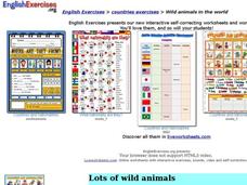
Wild Animals in the World
In this wild animals worksheet, students answer multiple choice map questions, choose the correct animal names for the pictures, and more. Students complete 4 activities.
American Museum of Natural History
Inca Investigation
A fascinating interactive resource lets young archaeologists dig through the history of Huanuco Pampa. The Inca city, located high in the Andes mountains of Peru, was once a thriving community. Craig Morris has spent years researching...
Curated OER
Describing A Place - Part I The British Isles
In this describing place worksheet, students label the cardinal and ordinal directions on a compass rose using the drop-down menus. They complete a matching activity by matching an item from column C with one in A and B. They read an...
Curated OER
English Vocabulary Skills: AWL Sublist 1 - Exercise 3b
In this online interactive English vocabulary skills worksheet, students answer 10 matching questions which require them to fill in the blanks in 10 sentences. Students may submit their answers to be scored.
PBS
Pbs Learning Media: South America Interactive Map
This interactive map explores the continent and countries of South America. Through political, physical, population, and climate map layers and individual country views, learn about the boundaries that define the continent's 12 sovereign...
Ducksters
Ducksters: Geography Games: Map of South America
Play this fun geography map game to learn about the locations of the countries of South America.
Other
Seterra: South America: Countries Map Quiz Game
Test your knowledge and see if you can place all the countries of South America in their correct spot!
Ducksters
Ducksters: Geography Games: Capital Cities of South America
Play this fun geography map game to learn about the capital cites of the countries of South America.
Ducksters
Ducksters: Geography Games: Flags of South America
Play this fun geography map game to learn about the flags of the countries of South America.
Google
Google Maps: Galapagos Islands
Explore isolated volcanic islands. Charles Darwin's observations and collections of the Galapagos wildlife in 1835 contributed to his theory of evolution by natural selection. [7:08]
Kidport
Kidport: United States of America Geography
This site contains a fun way to learn about the states within the United States. Click on the state that you want to learn more about and it provides facts, geographic landmarks, points of interest, major industries, a quiz and more.
Smithsonian Institution
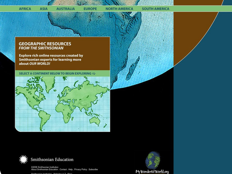
Smithsonian Education: My Wonderful World
Interactive map of the world in which students select a continent and begin exploring using online resources from the Smithsonian Institute.
National Geographic Kids
National Geographic Kids: Brazil
Follow this interactive overview to learn about this country's history, geography, nature, people, government; map and video included.
National Geographic Kids
National Geographic Kids: Peru
Welcome to Peru! Follow this interactive overview of the country's history, geography, people, government, nature, and more. A map and video are included.
National Geographic Kids
National Geographic Kids: Argentina
Click-through facts-and-photo file about Argentina's geography, nature, history, people, culture, and government. Includes a map of the country that pinpoints its South American location.
National Geographic Kids
National Geographic Kids: Ecuador
Click-through facts-and-photo file about Ecuador's geography, nature, history, people and culture, and government. Includes a map of the country that pinpoints its South American location.
Other popular searches
- Map of South America
- Reading Maps South America
- South America Map 1500
- South America Map `500
- South America Map Worksheet
- Physical Map of South America
- South America Map 500
- South America Map Skills
- Maps South America
- South America Map \`500
- Choropleth Map South America
- Blank Map South America


