Curated OER
Our 50 States
Students identify the location of the 50 states using an interactive map. They practice geography skills by playing a fun game. Pupils become familiar with the state abbreviations for the US states. Students become familiar with the...
Curated OER
Arkansas is Our State: Differentiating Between a State and a Country
An ambitious geography lesson is geared toward kindergartners. They discover what the differences are between states and countries. They look at maps of Arkansas, and learn what the shapes and lines mean. Additionally, they create a...
Curated OER
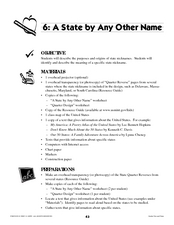
A State By Any Other Name
Learning about the fifty states can be motivating. After listening to books, pupils discuss and learn about the nicknames of various states. This is an interesting way to review the locations and characteristics of the states.
Curated OER
Our States, My State
Here is a very nice lesson on the shape of the United States, and the shapes of the individual states for your young geographers. They utilize worksheets embedded in the plan to color in a variety of states and to become familiar with...
Curated OER
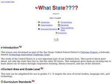
What State????
Young scholars study the United States. They research not only the state they live in, but the other 49 states. This webquest gives them an exciting way to study about our 50 states through cooperative learning, library research, and...
US Mint
Rename That State!
As Shakespeare famously wrote, "A rose by any other name would smell as sweet," but can the same be said for a state? In this elementary geography lesson plan, students are assigned specific states to research using the...
Curated OER
The 50 States
Fifth graders use maps and music to learn the 50 states. In this US Geography lesson, 5th graders map out a region of the United States and practice singing the song, The 50 States that Rhyme.
Curated OER
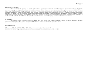
States and Capitals Activity
Students explore states and capitals. In this U.S. geography lesson, students practice locomotor skills playing Freeze Tag. Students generate the matching capital when given a specific state name in order to continue the game.
Curated OER
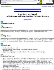
State Internet Search: A Mathematical Introduction To State Reports
Students locate the population and square mileage of at least one state. Using this information students graph the population and the area of the 50 states individually and as a class, then analyze the information.
Curated OER
Discovering American Symbols
Help youngsters get to know their states and capitals, explore their own country, and study American symbolism. They take a "trip" across America collecting symbols, images, and information about each state as they go (through text and...
Curated OER
History of Coal in the United States
Students examine a timeline of coal mining in the US and research how the policies of coal dependent companies have changes over the last 50 years.
Curated OER
The Natural State
Following an examination of the Arkansas state quarter, your class will discuss the state's nickname: "The Natural State." They will focus on its abundance of natural resources. Printables for the activities are included.
Curated OER
United States Map Lesson
Students explore basic map skills. In this United States geography instructional activity, students define "country" and "state," locate their state on a United States map, and identify and trace state boundaries defining their state...
Curated OER
Texas, Our Texas
Students explore U.S. geography by completing a coloring activity in class. In this Texas history lesson, students utilize the web to locate Texas on a map of the U.S. Students view a PowerPoint presentation which showcases the state...
Curated OER
United States Map - Lesson 4: States
Students use a United States Map to locate their state and use map symbols to determine the boundaries of a state. In this states lesson plan, students learn the definition of a state and identify their own on a map.
Curated OER
Study of the United States/State Fair Travel Brochure
Fifth graders conduct research on different states of the United States. They develop and create a travel brochure on their assigned state.
Curated OER
Map Directions and the United States
Third graders search TDC database for images of a compass rose, a miles marker, and a US map. They identify cardinal and intermediate directions to help identify their state and other states on a US map.
Curated OER
This Is My Life
Students create a time line of their lives from the perspective of 50 years in the future.
Museum of Tolerance
Where Do Our Families Come From?
After a grand conversation about immigration to the United States, scholars interview a family member to learn about their journey to America. They then take their new-found knowledge and apply their findings to tracking their family...
Curated OER
Our Fifty States
Seventh graders identify and locate all fifty states in the United States and their capitals. Individually, they research one state identifying when it became a state, its motto, song, flower and nicknames. To end the lesson plan, they...
Curated OER
2nd Grade - Act. 22: The World Game
Second graders play World Game to become more familiar with continents, oceans, countries and states.
Curated OER
States and Capitals, Mountains and Rivers
Students identify geographical locations in the midwestern United States. In this geography lesson plan, students identify 12 states and capitals and geographical features in the region by using U.S. maps. Students use blank maps to fill...
Curated OER
A System of Rules
Students write letters, create models, create a photo display, and make charts about the rules that a state has. In this rules lesson plan, students learn about and make different displays of how states come up with rules, change them,...
Curated OER
The Great Seal
Students study patriotic symbols of America. In this American history instructional activity, students construct a KWL chart on United States symbols and examine visuals of the Great Seal and bald eagle. Students create another symbol...


