Other
Nmbgmr: Resources for Teachers
Locate a variety of maps on New Mexico's minerals and resources, read issues of "Lite Geology," take virtual tours of state sites, and find games, puzzles, and activities for young people.
Other
Nmbgmr: Resources for Teachers
Locate a variety of maps on New Mexico's minerals and resources, read issues of "Lite Geology," take virtual tours of state sites, and find games, puzzles, and activities for young people.
Houghton Mifflin Harcourt
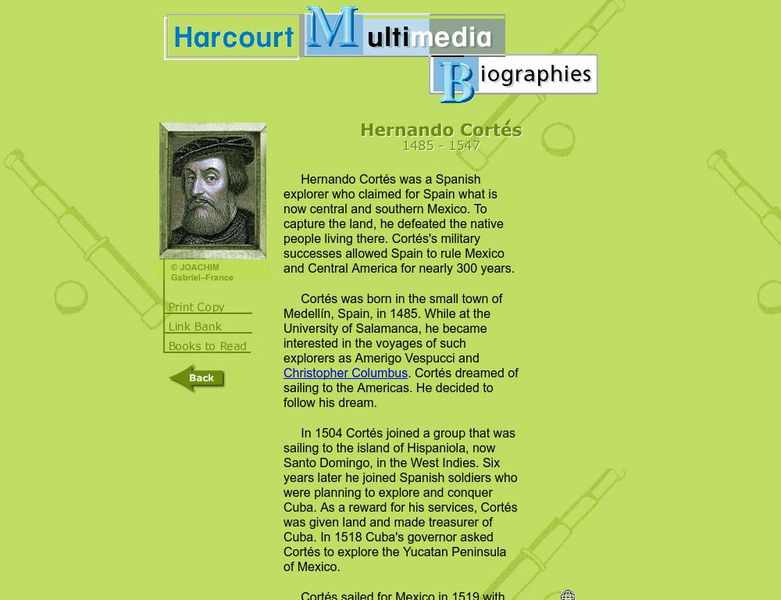
Harcourt: Biographies: Hernando Cortes 1485 1547
Furnished is a brief summary of the life and explorations of Spanish explorer, Hernando Cortes. Take a look at the photos and maps of his journey of what today is called Mexico.
E-learning for Kids
E Learning for Kids: Science: Caribbean Sea: Mexico: What Is Classifying?
Christina wants to classify all kinds of different things. Help her sort things into main groups.
E-learning for Kids
E Learning for Kids: Science: Mexico: What Is a Habitat?
Sofia came back from a trip around the world. She noticed how each animal she saw belonged to a certain habitat. Help her learn about animal habitats and the species that live there.
Curated OER
Perry Castaneda Map Collection: Latin America Map
This political map of Latin America and South America is in color and features major cities.
Curated OER
Map of Mexico
This is an online resource for information on Mexico. The site includes map and flag, government, languages, natural resources, industries, economic summary, and a history of the country.
BBC
Bbc: Bp Oil Disaster
Up to the minute news on the disastrous Gulf of Mexico oil spill of 2010. The BBC reports on the impact on the environment and provides an interactive guide to stopping the leak itself. In addition, find maps that clearly define the...
Annenberg Foundation
Annenberg Learner: Journey North: Monarch Butterfly
The beautiful monarch butterfly is the focus of this elaborate site. Links to photos, video clips, cycle of life, seasonal charts, migration maps, and stories from Mexico are also included. Terrific site for students to explore!
National Weather Service
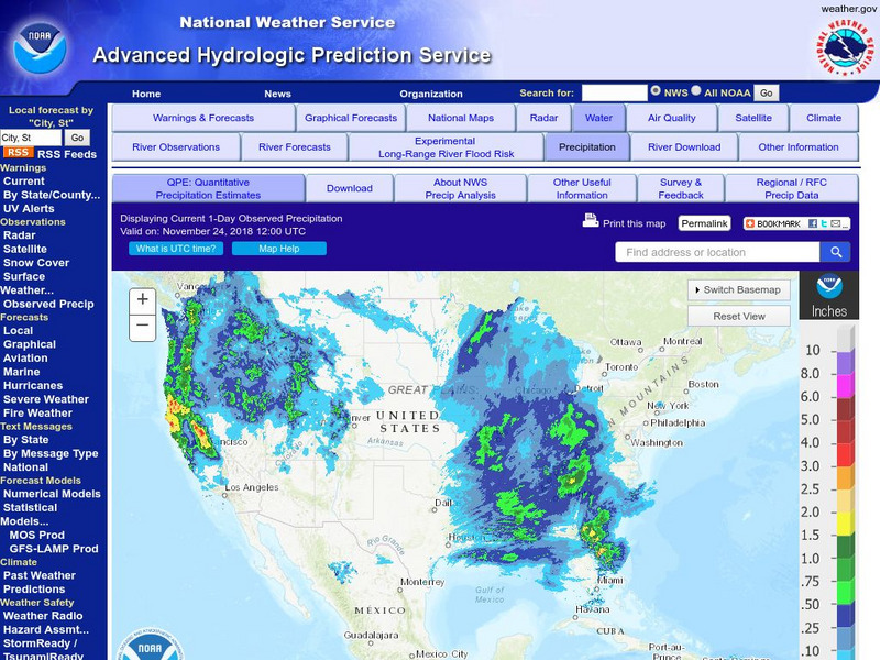
National Weather Service:climate Prediction Center: Daily Precipitation Analysis
Find real-time daily precipitation analysis for the United States, Mexico, and South America as well as accumulated precipitation maps for the past 30 or 90 days.
Other
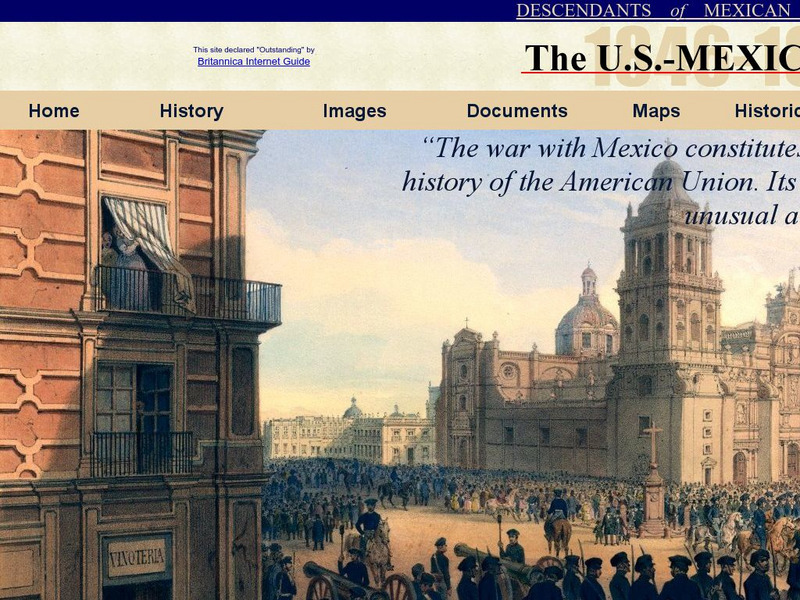
Dmwv: The u.s. Mexican War: 1846 1848
Dedicated to the memory of U.S. veterans who fought in the U.S.-Mexican War, this website provides documents, images, maps, and FAQs.
Curated OER
Etc: Maps Etc: Mexico, Central America, and the West Indies, 1898
A map from 1898 of Mexico, Central America and the West Indies. The map includes an inset map of Cuba and the Isthmus of Nicaragua. "The surface of the Rocky Mountain highland in Mexico is quite similar to that of the great plateau...
Curated OER
Educational Technology Clearinghouse: Maps Etc: War With Mexico, 1846 1848
A map of Mexico and southern United States showing the campaigns and battle sites of the Mexican-American War (1846-1848). The map shows the territory acquired from Mexico after the war, and the routes of Taylor, Wool, Kearny, Doniphan,...
Curated OER
Educational Technology Clearinghouse: Maps Etc: War With Mexico, 1846 1848
A map of Mexico and southern United States showing the campaigns and battle sites of the Mexican-American War (1846-1848). The map shows the routes of Taylor, Wool, Kearny, Doniphan, and Scott, the pre-war boundaries of the United States...
Curated OER
Etc: Maps Etc: Mexico and Western North America, 1845
A map of Mexico in 1845, prior to the ceding of the northern territories to the United States in 1846. The map shows the territories of Oregon, Texas, and Central America under Mexican control, and the frontiers of the Missouri and...
Curated OER
Educational Technology Clearinghouse: Maps Etc: Mexico and Texas, 1845 1848
A map of Mexico and Texas from the annexation of the Republic of Texas by the United States (1845) to the end of the Mexican-American War (1848). The map is color-coded to show the territory of Texas in 1845, the territory of dispute...
Curated OER
Etc: Maps Etc: Mexico, Central America and the West Indies, 1852
A map from 1852 of Mexico, Central America, and the West Indies. The map shows territorial boundaries at the time, including the Mexican States, capitals and major cities and ports, railroads, rivers, lakes, mountain systems, and terrain...
Curated OER
Educational Technology Clearinghouse: Maps Etc: Cortes in Mexico, 1519
A map showing the expedition of Hernan Cortes in 1519. This expedition was the third to the mainland and took him all the way into Mexico. This map shows the route from the Battle of Cintla (Tabasco) to Veracruz (Villa Rica de la Vera...
Curated OER
Educational Technology Clearinghouse: Maps Etc: Cortes' March to Mexico, 1519
A map of Mexico showing the sites of the Spanish Conquistador expedition under Hernan Cortes in 1519. The map shows Juanna (Cuba), Tabasco, Vera Cruz, and Mexico City (Tenochtitlan). An inset map details the route taken by Cortez from...
Curated OER
Educational Technology Clearinghouse: Maps Etc: Mexico City and Vicinity, 1580
A facsimile of a map by Saverio Clavigero (1780) of Tenochtitlan (Mexico City) and vicinity around the time of the Spanish conquest in 1519. This map, according to William H. Prescott (History of the Conquest of Mexico, 1876), defies...
Curated OER
Educational Technology Clearinghouse: Maps Etc: Climatic Regions of Mexico, 1899
A map from 1899 of Mexico showing the general climate divisions of the region, including areas of warm climate, temperate climate, and cold climate. "The Tropic of Cancer crosses Mexico near the center. The low, hot, and moist coast...
Curated OER
Etc: Maps Etc: Political Divisions of Mexico, 1916
A map from 1916 of Mexico showing the political divisions of states and territories (Quinana Roo on the Yucatan Peninsula, Tepic on the Gulf of California, and Baja California) at the time, including the state capitals and the Federal...
Curated OER
Educational Technology Clearinghouse: Maps Etc: The Mexican War, 1846 1848
A map of Mexico and southern United States showing the campaigns and battle sites of the Mexican-American War (1846-1848). The map shows the routes of Taylor, Wool, Kearny, Doniphan, and Scott, the pre-war boundaries of the United States...
Other popular searches
- Map of Mexico
- Maps and Flags Mexico
- Topographical Map of Mexico
- Blank Map of Mexico
- Map of New Mexico
- Bm Map of Mexico
- Map of Mexico Activity
- Maps of Mexico
- Outline Map of Mexico
- Blanca Map of Mexico
- New Mexico Maps
- Us Mexico Maps


