Hi, what do you want to do?
Curated OER
El Mundo Hispano
Welcome to the Spanish-speaking world! Show your learners which countries declare Spanish as their primary language. Included are maps and flags for each Hispanophone country.
Curated OER
Hispanic Heritage: Introduction to Hispanic Culture
Third graders locate the country of Mexico on a map and discuss its relationship to the United States. They examine the Mexican flag and discuss the colors and symbolism used in the flag. They create an original and accurate drawing of...
Curated OER
El Mundo Hispano
Colorful maps are clearly labeled in this PowerPoint to show viewers where different Hispanic countries are located within Central and South America. Each country is listed on its own slide with a title, the capital, close-up map, flag,...
Curated OER
Foods and Languages of the World
Young scholars review Mexico's location and language and learn to pronouns 10 new Spanish food words. Students listen as the book, Corn is Maize is read, touching and passing around an ear of Indian corn. Young scholars discuss the...
Curated OER
It's All in the Pattern
Here is a fantastic, nine-page, multi-session lesson plan on the Zia Sun Symbol (found on the New Mexico state flag), and the seasons of the Earth. Everything you need to implement the lesson is here, and the many engaging activities are...
Curated OER
The Eagle Has Landed: Aztecs Find a Home
Students investigate the Aztec civilization and locate it on a map. They explain the legend of the city of Tenochtitan and investigate the symbolism of the Mexican flag.
Curated OER
Border to Border
Learners use the Internet to gather information on the country of Mexico. They also discover the culture of their people and compare them with the United States population. They take a virtual tour of some of Mexico's most historical ruins.
Curated OER
Ojala que viajemos a Mexico!
Students research the names and locations of Spanish speaking countries throughout the world. They use a world map to become familiar with the locations of these countries and use the Internet to conduct further research. They sing...
Curated OER
Who's The Boss?
Upper elementary and middle schoolers research and analyze some different types of governments. Democracies, Monarchies, and Dictatorships are some of the types that are looked at. Learners use the Internet to gather information that...
Curated OER
Cultural Corner- "Mexico"
Young scholars use print and electronic resources to gather information about Mexico. They present a mini-museum to share with students, parents, and other interested classes around the district. They present their information in a video...
Curated OER
The Eagle Has Landed: Aztecs Find a Home
Pupils examine the Aztec civilization in what is now Mexico. Using a map, they locate the empire and explain the legend of the founding of Tenochtitlan. They explore the symbols on various Mexican flags and what they meant to the Aztec...
Curated OER
Cinco de Mayo - A Patriotic Mexican Holiday
Third graders study Cinco de Mayo as a patriotic Mexican Holiday. First, they work in pairs to write about and illustrate one thing they do on the Fourth of July. They listen to a reading about Cinco de Mayo before writing about and...
Central Intelligence Agency
Cia: World Factbook: Mexico
This resource from the CIA World Factbook provides a detailed fact sheet of Mexico. The content covers the country's geography, people, government, economy, communications, transportation, military, and transnational issues. It includes...
Enchanted Learning
Enchanted Learning: New Mexico
This site has a colorful display of information about New Mexico. It contains a map, pictures, a list of state symbols, and links to related information.
CRW Flags
Flags of the World: Clickable Map of the United States
Includes both printable images and fascinating trivia behind the flag of each state. It includes alternate flags used in the past.
Nations Online Project
Nations Online: Mexico
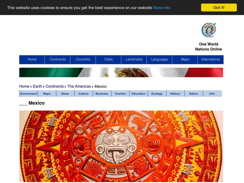
Offers a virtual destination guide and country profile of Mexico, background overview, and numerous links to comprehensive information on the country's culture, history, geography, economy, environment, population, news, government, and...
Cayuse Canyon
The Us50: New Mexico
Offers comprehensive information regarding New Mexico history, famous people, cities, geography, state parks, tourism, and historic sites. A fact sheet of information and a quiz are also available.
Curated OER
Map of Mexico
This is an online resource for information on Mexico. The site includes map and flag, government, languages, natural resources, industries, economic summary, and a history of the country.
Other
Dmwv: The u.s. Mexican War: 1846 1848
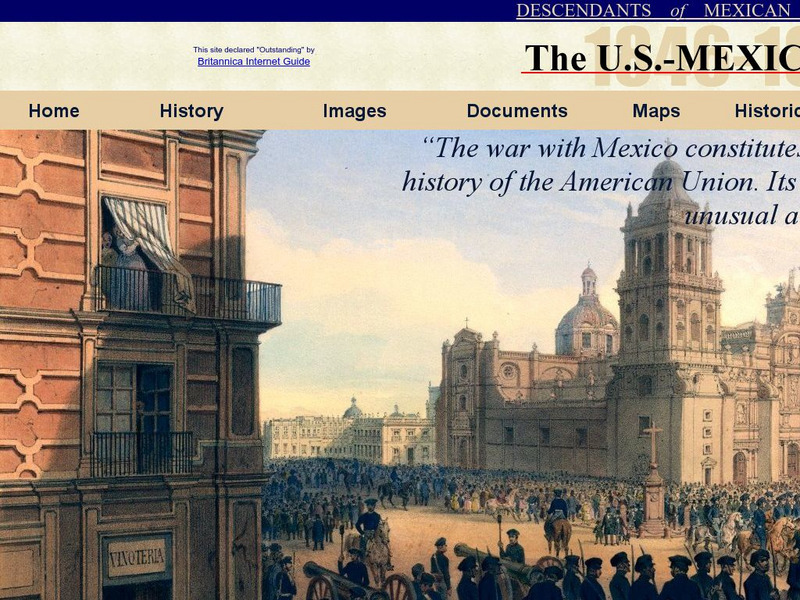
Dedicated to the memory of U.S. veterans who fought in the U.S.-Mexican War, this website provides documents, images, maps, and FAQs.
Houghton Mifflin Harcourt
Holt, Rinehart and Winston: America Del Norte: Mexico
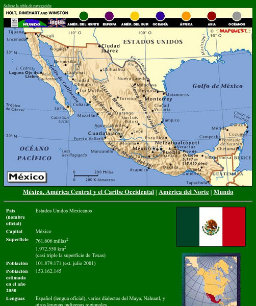
This site has a map of Mexico in Spanish, with informational data also presented in Spanish about the country. Land mass, population, life expectancy, literacy, industry, agriculture, minerals and resources are among the topics...
Curated OER
Flag of Mexico
This is an online resource for information on Mexico. The site includes map and flag, government, languages, natural resources, industries, economic summary, and a history of the country.
Cayuse Canyon
The Us50
This clickable map of the United States gives students access to research information from history and tourism to attractions and famous historic figures.
ClassFlow
Class Flow: Texas Revolution
[Free Registration/Login Required] This flipchart gives an overview of the Texas Revolution. Using a mind map and a time line, students are visually drawn in to the events leading up to Texas gaining independence from Mexico. Links to...


