NOAA
Noaa: Cpc: Regional Climate Maps
Provides large colorful maps of climate data about each continent for the current week, month, or previous quarter.
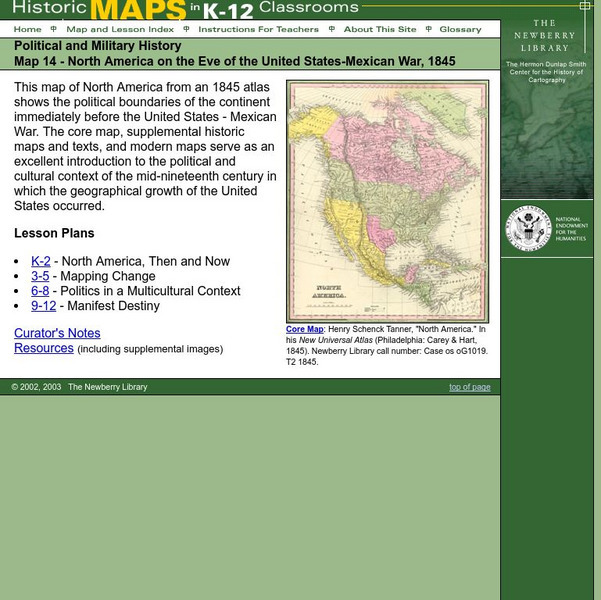
The Newberry Library
Newberry: Political and Military History: Map 14: u.s. Mexican War, 1845
Lessons for learners in K-12 depicting North America prior to the United States and Mexico War, 1845. Students explore the mid-century political and cultural context in which the U.S. experienced growth and expansion.
E-learning for Kids
E Learning for Kids: Science: Pacific Ocean: Mexico: Why Must We Care for the Environment?
Join Mateo on his trip to Mexico. During his trip, he will teach all about conservation, and contributing to a healthy environment.
E-learning for Kids
E Learning for Kids: Science: Mexico: What Is a Skeleton?
Isabel celebrates the Day of the Dead in Mexico, for which many people dress up like skeletons. She wants to teach her brother Carlos about the skeleton and some different bones. This interactive module helps young learners understand...
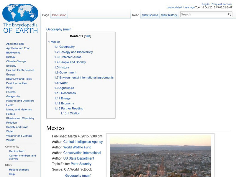
Encyclopedia of Earth
Encyclopedia of Earth: Mexico
The Encyclopedia of Earth provides an overview of Mexico, including its geography, natural resources, history, government, economy, and much more. Maps and images are also included, along with sources used to create the entry.
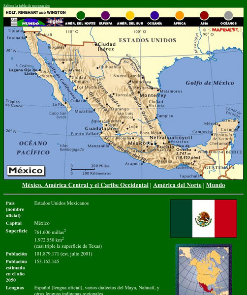
Houghton Mifflin Harcourt
Holt, Rinehart and Winston: America Del Norte: Mexico
This site has a map of Mexico in Spanish, with informational data also presented in Spanish about the country. Land mass, population, life expectancy, literacy, industry, agriculture, minerals and resources are among the topics...
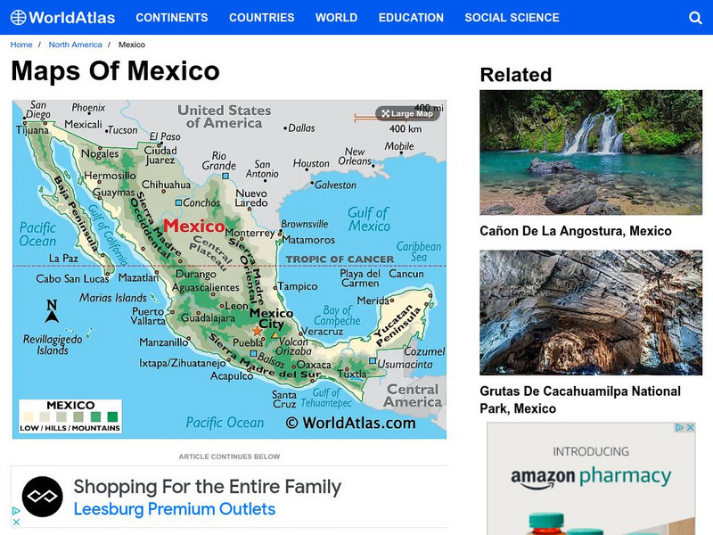
World Atlas
World Atlas: Mexico
Provided here is a description of Mexico's geography including its mountain ranges, coastal plains, plateaus, volcanoes and peninsulas.
University of Oregon
Mapping History Project: Mexican Cession: Political Boundaries
Click on this map to see the boundaries of Mexico, Texas, and the United States before the Mexican Cession, and then click again to see the land ceded to the U.S. after the Treaty of Guadalupe Hidalgo. Be sure to click to see the key...
University of Oregon
University of Oregon: Mapping History: Texas: 1836
This is a very simple map showing the Republic of Texas and the territory disputed with Mexico in 1836.
Adventure Learning Foundation
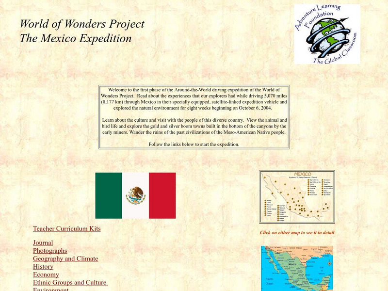
Adventure Learning Foundation: The Mexico Expedition
Take a tour through the country of Mexico in this enchanting site. Students will learn about the culture and visit with the people as they explore the geography, history, and environment of Mexico. It includes maps, classroom activities,...
Library of Congress
Loc: Online Exhibition: The Cultures and History of the Americas
Examine some of the rare books, maps, prints and other artifacts in this online exhibition. The exhibition explores several themes on the cultures and history of the Americas. The collection focuses on the period of pre-contact through...
Curated OER
Science Kids: Science Images: Map of Mexico
A map featuring Mexico and its neighboring countries.
CRW Flags
Flags of the World: Clickable Map of the United States
Includes both printable images and fascinating trivia behind the flag of each state. It includes alternate flags used in the past.
University of California
Earthguide: Maps: Shaded Relief: Gulf of Mexico [Pdf]
View and/or print a colored shaded relief map of the Gulf of Mexico. PDF (requires Adobe Reader)
Foundation for the Advancement of Mesoamerican Studies
Famsi: Map of Maya Area
Map shows the locations of Mayan sites in Belize, El Salvador, Guatemala, Honduras and Mexico.
Maps of Mexico
Virtual Picture Travel Map of Massachusetts
Click on Massachusetts on the US map in order to Travel there and take a virtual tour of Boston. Visit places of interest such as Harvard University, MIT, John F. Kennedy Library and Museum, the Freedom Trail, Copley Square, Trinity...
Maps of Mexico
Virtual Picture Travel Map of Massachusetts
Click on Massachusetts on the US map in order to Travel there and take a virtual tour of Boston. Visit places of interest such as Harvard University, MIT, John F. Kennedy Library and Museum, the Freedom Trail, Copley Square, Trinity...
Maps of Mexico
Virtual Picture Travel Map of Massachusetts
Click on Massachusetts on the US map in order to Travel there and take a virtual tour of Boston. Visit places of interest such as Harvard University, MIT, John F. Kennedy Library and Museum, the Freedom Trail, Copley Square, Trinity...
Maps of Mexico
Virtual Picture Travel Map of Massachusetts
Click on Massachusetts on the US map in order to Travel there and take a virtual tour of Boston. Visit places of interest such as Harvard University, MIT, John F. Kennedy Library and Museum, the Freedom Trail, Copley Square, Trinity...
Geographic
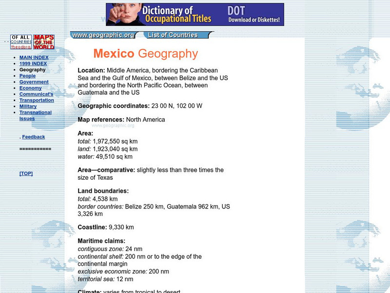
Mexico Geography Flags, Maps, Economy, Geography, Clim
Short country profile with location, geographic coordinates, comparison of size with US states, etc.
Other
Nmbgmr: Resources for Teachers
Locate a variety of maps on New Mexico's minerals and resources, read issues of "Lite Geology," take virtual tours of state sites, and find games, puzzles, and activities for young people.
Other popular searches
- Map of Mexico
- Maps and Flags Mexico
- Topographical Map of Mexico
- Blank Map of Mexico
- Map of New Mexico
- Bm Map of Mexico
- Map of Mexico Activity
- Maps of Mexico
- Outline Map of Mexico
- Blanca Map of Mexico
- New Mexico Maps
- Us Mexico Maps

