Curated OER
Washington, D.C. Map
Here is an outline map of Washington, DC. Some of the points of interest in the city are labeled, as are Maryland, Virginia and Arlington. There are plenty of important monuments and locations not identified, making for a good...
Houghton Mifflin Harcourt
Holt, Rinehart and Winston: World Atlas: United States
Features a detailed map of the United States with some basic facts. Click on each state name to get even a more detailed map and information.
Other
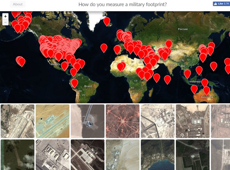
Mapping United States Military Installations
How do you measure a military footprint? In people? Dollars? Space? This website is an ongoing attempt to map one aspect of that question- by visualizing the location of United States military installations.
University of Nebraska
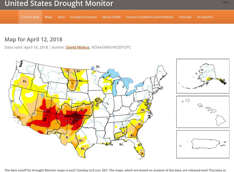
United States Drought Monitor
This interactive map of the United States provides an extensive overview of drought conditions. You can watch animations of drought patterns over different time intervals.
University of Texas at Austin
Ut Library Online: Historical Maps of the United States
This extensive collection of Historical United States maps from the University of Texas Library Online cover early inhabitants, exploration and settlement, territorial growth, military history, and later historical maps. These maps are...
Other
The Story of the Us Told in 141 Maps
This collection of United States maps includes a year-by-year. Beginning from the Declaration of Independence and extending to present-day, students will learn explore and interact with these maps that change year-by-year.
NOAA
Noaa: Esrl: United States Climate Page
A "clickable" map of the US that allows you to find information about a state's or city's climate and climate history.
NOAA
Noaa: Esrl: United States Climate Page
A "clickable" map of the US that allows you to find information about a state's or city's climate and climate history.
University of Texas at Austin
Perry Castaneda Library Map Collection: u.s. Maps
At this site find any type of map on the U.S. and any of its states here. Great site for teachers to print out maps to use in the classroom.
University of California
Earthguide: Maps: Shaded Relief: United States [Pdf]
View a digital image of a colored shaded relief map of the United States.
University of Texas at Austin
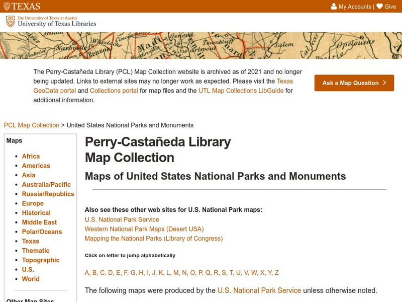
Perry Castaneda Library Map Collection: Maps of u.s. National Parks
Alphabetical list of maps of United States National Parks and monuments produced by the U.S. National Park Service.
Library of Congress
Loc: Primary Sources by State
An interactive map to search for extensive collections of primary sources for each of the United States.
Other
Intellicast: Daily Parcipitation in the United States
This page has a map of the United States with a key for precipitation. The key tells you the estimated precipitation for previous day.
Other
Usgs: The National Map: Us Topographical Map
Use this map to explore the topography of the United States.
University of Richmond
Digital Scholarship Lab: Atlas of the Historical Geography of United States
Review America's history with over 700 individual maps that address a broad range of issues with this atlas. This atlas maps a variety of historical topics: "exploration and settlement of the continent, the location of colleges and...
University of Texas at Austin
University of Texas: Map of Early Indian Tribes in Eastern u.s.
A map of the land inhabited by Indian tribes in the eastern part of the United States before European settlement. Map shows linguistic stocks as well as culture areas, major, and minor tribes.
University of Georgia
University of Georgia: A Map of the u.s. Of North America (1783)
A large detailed map of newly formed United States upon the agreement on the Treaty of Paris of 1783, showing the agreed boundaries between the British and new United States lands.
Library of Congress
Loc: Map Collections 1500 2002
This collection provides maps dating back to 1500 up to the present. The collection includes: cities, towns, discovery and exploration, conservation and environment, military battles, cultural landscapes, transportation, communication,...
University of Georgia
University of Georgia: Hargrett Library: Rare Map Collection
The Hargrett Library at the University of Georgia offers visitors the opportunity to view images of over 800 maps that go back almost 500 years. Researchers get a first-hand look at the lives of early Americans with these original maps...
US Holocaust Memorial Museum
U.s. Holocaust Memorial Museum: Holocaust History Animated Maps
To fully understand the breadth and scope of the Holocaust, view the following maps of key locations. These maps are in video form with explanations provided. There are also links provided for further research.
University of Texas at Austin
Perry Castaneda Library Map Collection: Americas Historical Maps
This collection from the University of Texas Library Online of historical maps contains a wide variety of maps from various parts of the continent and from different parts of history. Each map is accompanied by a brief description and is...
abcteach
Abcteach: Maps
[Free Registration/Login Required] Find outline maps of the continents and the United States and Canada, as well as other country and city maps.
Other
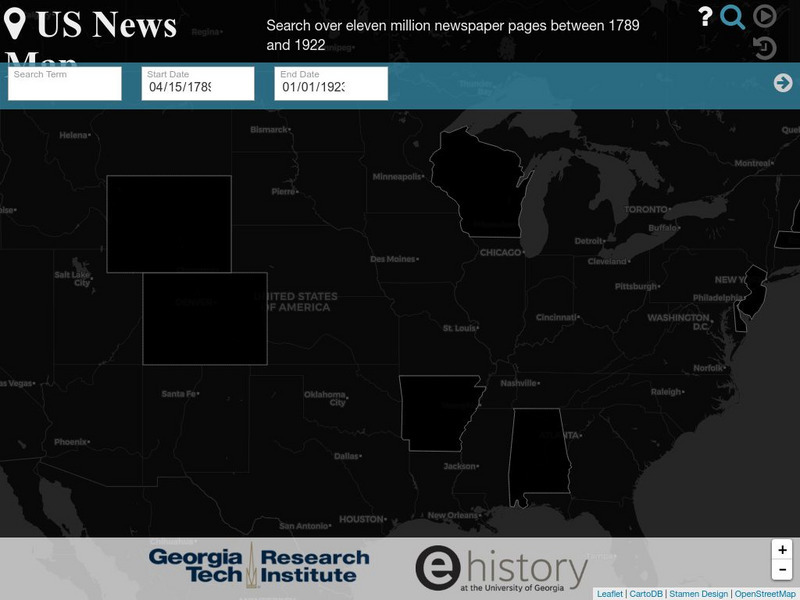
Georgia Tech Research Institute: Chronicling America: Us News Map
A fascinating way to look at history, this interactive map lets you search for a person, event, issue, etc. over a specified time frame and it maps newspapers containing related content onto a map of the United States. An additional...
US Geological Survey
Usgs: u.s. Atlantic Continental Margin Gloria Mapping Program
This site from the U.S. Geological Survey allows you to access detailed images of the continental margin around the United States. There is additional information about the sonar methods used, and a wealth of additional sources listed.
Other popular searches
- United States Maps
- United States Maps Regions
- Northeast United States Maps
- 50 United States Maps
- Create United States Maps
- Western United States Maps
- Custom United States Maps
- Outline Maps United States
- Blank United States Maps
- United States Landforms Maps
- United States Geography Maps
- United States Political Maps




![Earthguide: Maps: Shaded Relief: United States [Pdf] Graphic Earthguide: Maps: Shaded Relief: United States [Pdf] Graphic](https://d15y2dacu3jp90.cloudfront.net/images/attachment_defaults/resource/large/FPO-knovation.png)
