Hi, what do you want to do?
Curated OER
Gridding a 2 x 2 Meter Unit
Students use the internet to examine what happens at an archeological dig site. In groups, they practice measuring a 2x2 meter square unit and gridding it out as an archeologist would do. They review the possible solutions at the end of...
Curated OER
Olympic Games Snowboard Design
Students find travel destinations and information on countries around the world, and use their knowledge to create a snowboard design that represent the country they pick. They explore maps, weather, geography, languages, in their quest.
Curated OER
Germany Rejects Spanish ‘Transfer Bid’ for Octopus
Tenth graders explore the importance of Paul the octopus. In this World Cup instructional activity, 10th graders research the location of Germany and its cities on a map. Students read an article and answer questions.
Curated OER
Around The World
Students search the Internet through a sequence of steps to reach the country of their nationality. They research and collect information about their country.
Curated OER
Nebraska: Using Pictures
Students create a scrapbook about Nebraska history focusing on Post Office murals. They choose their favorite murals and write a story to go along with the mural. In groups, students present their murals to the class and visit the...
Curated OER
Creating A Travel Brochure
Ninth graders decide on a place they would like to visit, and plan a dream vacation to this location. They complete a scavenger hunt to find information about their place. Students make a travel brochure and poster about their place....
Curated OER
Using the Software Program "Kid-Pix"
Students create a slideshow using the software program Kid-Pix. They use the differences in rocks and minerals for their presentation. They also demonstrate different ways to import and save pictures using the program.
Curated OER
Cultural Corner- "Mexico"
Students use print and electronic resources to gather information about Mexico. They present a mini-museum to share with students, parents, and other interested classes around the district. They present their information in a video...
Curated OER
Lands That I Love
Students create a graph showing their family roots. They read about how immigrants can develop strong feelings for two countries. They discover the importance of their earliest memories.
Curated OER
Travels Of A Florida Migrant Child
Students discuss the story Amelia's Road by Vickie Leigh Krudwig in this cross-curricular Math lesson for the middle-level classroom. Elements of the social sciences are addressed. Cooperative learning groups are suggested for successful...
Curated OER
Learning the 50 States
Students become familiar with all 50 states over the course of ten days.
Curated OER
Giving Human Rights a Human Face
Students produce a creative expression of an article of the Universal Declaration of Human Rights. They may also create posters to serve as reminders for creating a human rights environment or community.
Curated OER
World Capitals Quiz
In this online interactive geography quiz worksheet, students respond to 195 identification questions about the capital cities of countries in the world. Students have 12 minutes to complete the quiz.
Enchanted Learning
Enchanted Learning: Pennsylvania: Facts, Map, and State Symbols
A list of key facts about the state of Pennsylvania, including information about Pennsylvania's state symbols. Useful extras for teachers include black-line masters of concept diagrams, maps, and thought organizers.
Other
Just Maps: World Maps
An index of maps and flags of countries throughout the world. Also provides political maps, time zones, population, and religious maps of every region of the world.
Enchanted Learning
Enchanted Learning: Alabama Facts, Map and State Symbols
Do you need information about Alabama? Find facts, a map, and state symbols. Pictures of many of the state symbols are included.
The Commonwealth
Commonwealth Secretariat: St Vincent and the Grenadines
The Commonwealth Secretariat offers a country profile of St Vincent and the Grenadines with information on its geography, society, economy, history, constitution, and politics. Includes a map and image of the flag.
The Commonwealth
Commonwealth Secretariat: St Kitts and Nevis
The Commonwealth Secretariat explores a country profile of St Kitts and Nevis with information on its geography, society, economy, history, constitution, and politics. Includes a map and image of the flag.
The Commonwealth
Commonwealth Secretariat: Antigua and Barbuda
The Commonwealth Secretariat offers a country profile of Antigua & Barbuda with information on its geography, society, economy, history, constitution, and politics. Includes a map and image of the flag.
Central Intelligence Agency
Cia: World Factbook: St. Kitts and Nevis
This resource from the CIA World Factbook provides a detailed fact sheet of St. Kitts and Nevis. The content covers the country's geography, people, government, economy, communications, transportation, military, and transnational issues....
Central Intelligence Agency
Cia: World Factbook: Saint Pierre and Miquelon
This resource from the CIA World Factbook provides a detailed fact sheet of Saint Peirre. The content covers the French territory's geography, people, government, economy, communications, transportation, military, and transnational...
Central Intelligence Agency
Cia: World Factbook: Flags of the World
Reference material on flags of the world from the Central Intelligence Agency (CIA) World Factbook. Students and teachers can access this site for all sorts of information about world flags including specific history and maps associated...
Enchanted Learning
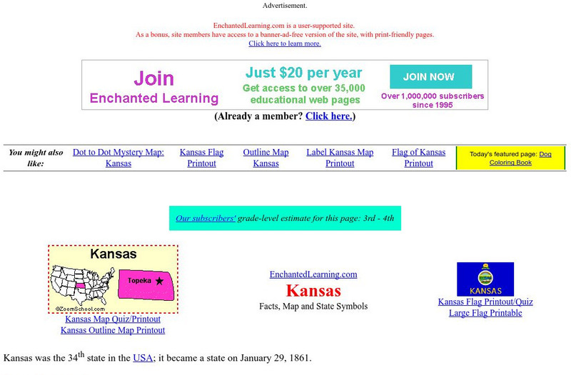
Enchanted Learning: Kansas Facts, Map and State Symbols
A colorful site with basic information about Kansas. Includes a map, facts about the state, and information about the state symbols.
Discovery Education
Discovery Education: B. J. Pinchbeck's Homework Helper for Social Studies
The Social Studies section of this popular Homework Helper site contains links to maps and flags, U.S. geography, world history and more.
Other popular searches
- Australian Maps and Flags
- Thai Maps and Flags
- Maps and Flags Caribbean
- Maps and Flags Mexico
- Area Studies Maps and Flags
- Illinois Maps and Flags


