Parkwood Hill Intermediate
Map Skills Project
Young pupils develop their mapping skills and knowledge by designing their own islands, using geographic terms and physical features they have learned as features of their work.
Owl Teacher
Imaginary Nation: Constructing a Map
Your young geographers will combine what they have learned about the five themes of geography and their inner creativity to design a physical map for an imaginary nation.
Beverly Hills High School
Mapping Napoleon's Empire at Its Height (1812)
The complicated political history of Europe becomes apparent as young historians create a map of the borders of France when Napoleon's Empire was a its height in 1812.
Facts and Files
The Nile
While it may not be possible to take an entire class to Egypt and explore the ancient wonders, it is possible to engage your young historians in activities that ask them to research these and other antiquities and place them on their...
K-State Research and Extensions
Water
How are maps like fish? They both have scales. The chapter includes six different activities at three different levels. Scholars complete activities using natural resources, learn how to read a map, see how to make a compass rosette,...
Rainforest Alliance
Protecting the Critical Habitat of the Manatee and Loggerhead Turtle
Explore ocean habitats with a lesson that showcases the home of manatees and loggerhead turtles in Belize. Here, pupils compare and contrast the homes of ocean animals to those of humans, listen to an original short story about...
Smarter Balanced
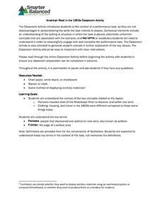
American West in the 1800s
To establish a context for an assessment or a study of pioneers and the American frontier in the 1800s, groups examine photos and record observations about clothing, housing, and travel.
Curated OER
Finding River Cities
Using a wall map, students will find major rivers in the four regions of the United States. Then they answer questions about how people use natural resources, such as rivers.
University of Wisconsin
Follow the Drop
Young surveyors look for patterns in water flow around campus. Using a map of the school (that you will need to create), they mark the direction of the path of water. They also perform calculations for the volume that becomes runoff. The...
Mary Pope Osborne, Classroom Adventures Program
Mummies in the Morning Egyptian pyramids, hieroglyphics
Visit the Magic Treehouse and take your class on a trip through time with a reading of the children's book Mummies in the Morning. Using the story to spark an investigation into Egyptian culture, this literature unit engages...
Rainforest Alliance
How Do Jaguars and Howler Monkeys in Belize Depend on Us?
How does weather play a role in the lives of land and sea creatures? Find out with a instructional activity focused on habitats and the ways animals from different homes are connected. Here, learners explore how the life of a...
Sharp School
Travel Brochure Project
Designing a travel brochure is a classic project that will help your class members develop a variety of skills, such as researching informational texts, designing creative visual products, and communicating what you have learned.
National Geographic
National Geographic: Mapping u.s. Watersheds
Students will identify and explore major rivers and watersheds in the United States.
National Geographic
National Geographic: Mapping the World's Watersheds
In this lesson, students use a world map to locate and label major rivers and their watersheds. They then compare watershed shapes and look at typographical features that determine their shapes. A vocabulary list with definitions is...
Read Works
Read Works: John Wesley Powell Maps the Grand Canyon
[Free Registration/Login Required] Students read natural historian John Wesley Powell and his men who worked to create a map of the Grand Canyon. A question sheet is available to help students build skills in reading comprehension.
University of Illinois
University of Illinois: Modern American Poetry
This rich source includes a biography of Edgar Lee Masters (1869-1950 CE), a bibliography of secondary sources, his comments on Spoon River Anthology, a look at him as a trial lawyer and critic, as well as external links.
TeachEngineering
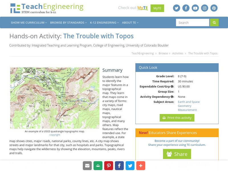
Teach Engineering: The Trouble With Topos
Students learn how to identify the major features in a topographical map. They learn that maps come in a variety of forms: city maps, road maps, nautical maps, topographical maps, and many others. Map features reflect the intended use....
NASA
Nasa: World Map Puzzle
This site from the National Aeornautics and Space Administration provides an interesting activity with a relief map and its correlation with space. "Wouldn't it be fun to make your own miniature world, complete with mountains, valleys,...
Other
River Stories
Teach your students about the life of the salmon with these three stories about the journey of the Columbia Basin salmon. Each story includes a map. The first story, "Journey of the Oncorhynchus," is also in Spanish.
Other
Gateway New Orleans: Louisiana Purchase
Read a description of the terms of the Louisiana Purchase. There is a map to show the land that was included in this deal.


