Curated OER
What Is El Niño?
Students access information at remote sites using telecommunications, identify impacts by reviewing past El Ni??o events, make and use scale drawings, maps, and maps symbols to find locations and describe relationships.
Curated OER
You Can Be A Woman Meteorologist
Students complete four activities that are about meteorology. The first activity is for them to explore weather maps. The second activity is for students to discover high-pressure and low-pressure air. The third activity is for them to...
Curated OER
Landforms All Around
Students create a "Landform Dictionary". They develop an overlay map and participate in hands-on activities to identify the key characteristics of landforms. They discuss the plant and animal life of these areas. Handouts for the lessons...
Calvin Crest Outdoor School
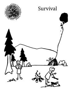
Survival
Equip young campers with important survival knowledge with a set of engaging lessons. Teammates work together to complete three outdoor activities, which include building a shelter, starting a campfire, and finding directions in the...
American Geosciences Institute
American Geosciences Institute: Climate and Weather
Eight hands-on lessons module in which students explore climate and weather. Inquiry-based investigations include observing weather, weather reporting, weather maps, weather satellites, causes of weather, and climate change.
CK-12 Foundation
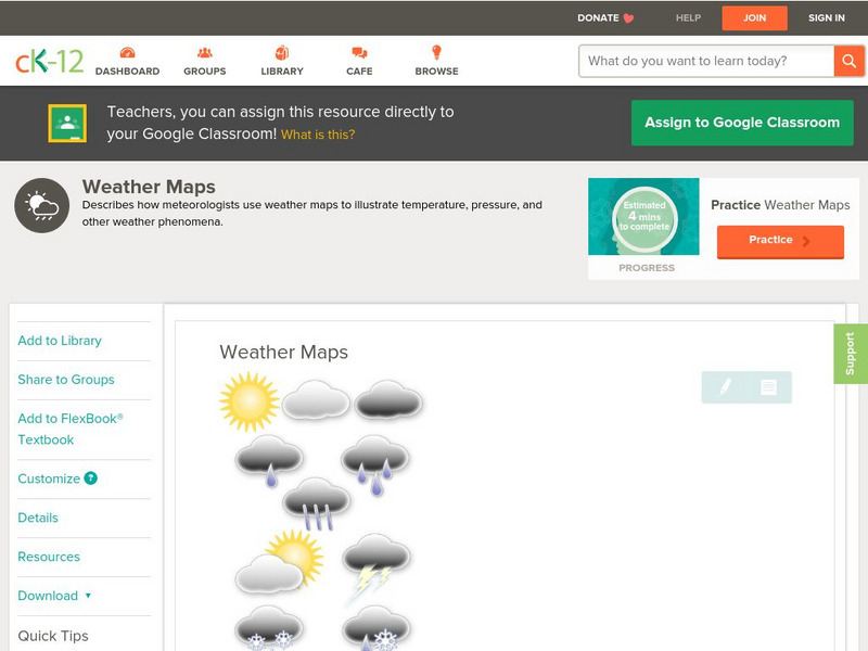
Ck 12: Earth Science: Weather Maps
[Free Registration/Login may be required to access all resource tools.] How meteorologists create and read weather maps.
Other popular searches
- Weather Map Symbols
- Weather Map Weather Symbols
- Reading Weather Map Symbols
- Weather Map Symbols Exercise


