Information Technology Associates
Theodora: Uruguay 2017
Up to date country-specific information compiled from a variety of sources. Learn about Uruguay's geography, population, climate, people, government, economy, communications, international issues, religion, and more.
Oxfam
Cool Planet: Brazil
Travel to Brazil and discover information on its history, geography, people, and fun facts. Also, find out what Oxfam is doing to help the third of the population of people in this country that still live in poverty.
Nations Online Project
Nations Online: Argentina
Presents a virtual travel guide and country profile of Argentina, background overview, and numerous links to comprehensive information on the country's culture, history, geography, economy, environment, population, news, government, and...
Nations Online Project
Nations Online: Chile
Great destination guide and country profile of Chile featuring a background overview, and numerous links to comprehensive information on the country's culture, history, geography, economy, environment, population, news, government, and...
Nations Online Project
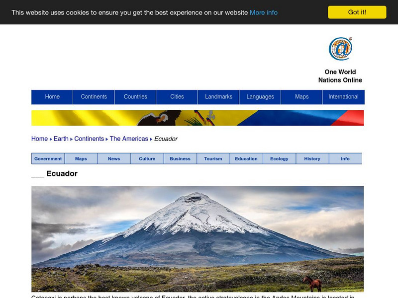
Nations Online: Ecuador
Offers a virtual guide and country profile of Ecuador, background overview, and numerous links to comprehensive information on the country's culture, history, geography, economy, environment, population, news, government, and much more.
Geographyiq
Geography Iq: Falkland Islands (Islas Malvinas)
After reading a brief introduction of the Falkland Islands, you can learn many enlightening facts about the country through "Facts at a Glance." Topics include geography, people, economy, and government.
Other
Organization of American States Children's Page: Venezuela
Full of useful information relating to the country of Venezuela. Topics covered include: population, language, geography, government, photos, national symbols, national heroes, and folklore.
Curated OER
Map of Chile
Discover details about the history, economy, government, and news media of Chile from the BBC. Links to an audio of the national anthem and a timeline of events.
Curated OER
Map of Ecuador
The BBC gives information about the Latin American country of Ecuador with details on geography, culture, its leaders, and its news media. Updated in April, 2005. Check out the link to the timeline.
Curated OER
Educational Technology Clearinghouse: Maps Etc: Newfoundland, 1903
A map from 1903 of the Canadian province of Newfoundland, showing cities, towns and ports, railways, lakes, rivers, and coastal features, as well as the coastal districts of White Bay, Bonne Bay, Bay of Exploits, Bonavista Bay, St....
Curated OER
Etc: Maps Etc: The Lake Region of North America, 1911
A map from 1911 showing the lake region of the Laurentian Plateau and adjacent areas, primarily north of the International boundary in the region known as the Canadian Shield. Only the principal lakes are shown. As indicated in the text,...
Curated OER
Educational Technology Clearinghouse: Maps Etc: British Canada, 1791
A map of eastern Canada in 1791 after the American Revolution, during the formation of British North America and the division of Quebec into the largely French-speaking Lower Canada and the Loyalist Upper Canada. The map is color-coded...
Curated OER
Chile Arg map.jpg (70404 Bytes)
Take an exciting exploration of South America, driving northward along the Andes, crossing back and forth between Chile, Argentina, Bolivia, and Peru. Explore the natural environment, culture, and people. It includes journals,...
Other
Grand Canyon Explorer: Continental Drift
Maps and detailed descriptions of the breakup of Pangea due to a great rift opening.
ClassFlow
Class Flow: Continents of the World
[Free Registration/Login Required] This flipchart is devoted to identifying, locating, and learning facts about the 7 continents. It contains interactive maps, facts, and a short video at the end.
Other
Kids World Travel Guide: Argentina
Here are some interesting Argentina facts which were chosen and researched by kids, especially for kids. Includes history, maps, geography, attractions, animals, people, language, and food.
A&E Television
History.com: The States
Learn unique facts about each American state. You can also read a more in-depth history of each state, watch videos and play a game about all the states.
PBS
Pbs: El Nino
You can link to the anatomy of El Nino, chasing El Nino, and El Nino's reach. There is a resource page and a search page.
Other
Language Crossing: Geography of Bolivia
Features a brief description of the geography of Bolivia including the Andean highlands and the tropical lowlands.
Climate Zone
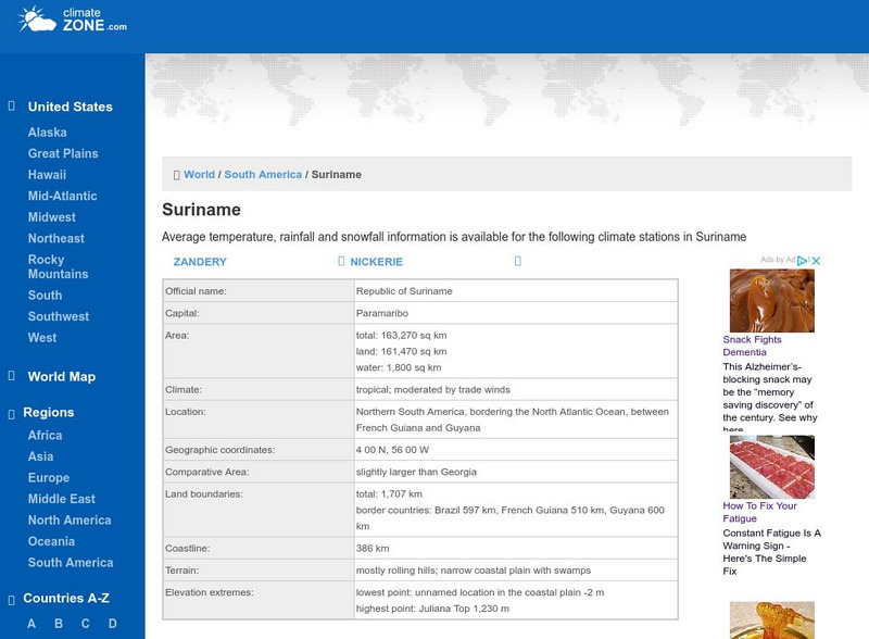
Climate of Suriname
Explore the climate of Suriname at this useful website that gives information about average temperature, rainfall, and snowfall.
Curated OER
Etc: The Revolution in Southern States, 1774 1783
A map of America's southern states during the time of the American Revolution, including North Carolina, South Carolina, and Georgia. The map shows major cities, towns, forts, battle sites, mountain systems, rivers, and coastal features...
Curated OER
Etc: Reorganization of the Plymouth Company, 1606 1620
A map of eastern North America in 1620 showing the King James Patent of the Plymouth Company to the north and London Company to the south. In 1620, the Plymouth Company was reorganized as the Plymouth Council for New England, or the...
Curated OER
Etc: New Sweden and New Netherland, 1614 1664
A map of the area from the Delaware Bay to the Connecticut River showing the territory claimed by the Dutch as New Netherlands (1614-1664) and the territory around the Delaware Bay and Delaware River claimed by Sweden as New Sweden...
Curated OER
Etc: The Alaskan Boundary Dispute, 1825 1903
A map of the northern Pacific coastland of North America showing the territorial dispute of the Alaska boundary from the Anglo-Russian Treaty of St. Petersburg in 1825 that established the British claims, the purchase of the area by the...
Other popular searches
- South America Map
- South America Physical Map
- South America Map 1500
- South America Map `500
- South America Map Worksheet
- Physical Map of South America
- South America Map 500
- South America Outline Map
- South America Map Skills
- South American Geography Map
- South America Map \`500
- Choropleth Map South America


