Hi, what do you want to do?
Curated OER
Educational Technology Clearinghouse: Maps Etc: United States, 1917
A map of the United States and territories showing the expansion from the formation of the original states to the purchase of the Danish West Indies (Virgin Islands) in 1917. The map is color-coded to show the original states, the states...
Curated OER
Educational Technology Clearinghouse: Maps Etc: Philippine Islands, 1902
A map from 1902 of the Philippine Islands, showing the provinces at the time, major cities and ports, railroads on Luzon, rivers, terrain, and coastal features. The divisions of Luzon are numbered and listed on the map. Inset maps detail...
Curated OER
Etc: Acquisition of Territory by the United States, 1783 1917
A map from 1922 of the United States showing the acquisition of territory from 1783 to the purchase of the Dutch West Indies (Virgin Islands) in 1917. This map is color-coded to show each of the acquisitions with map notations giving...
Curated OER
Etc: Development of Amer Interests in the Pacific, 1791 1903
A map of the United States and Pacific Ocean showing the development of American interests in the Pacific from the early exploration of Oregon Country in 1791 to the formal annexation of the Midway Islands and the Panama Strip in 1903....
Curated OER
Etc: Territorial Growth of the United States, 1783 1900
A map from 1911 of the United States showing the territorial acquisitions from the original states and territory established in 1783 to the Tripartite Convention of 1899 in which Germany and the United States divided the Samoan...
ClassFlow
Class Flow: The Mahele of 1848
[Free Registration/Login Required] This flipchart describes The Mahele of 1848, an important event in Hawaiian history. Activities that encourage student involvement include graphic organizers, a map activity, and Activote questions.
Curated OER
Educational Technology Clearinghouse: Maps Etc: Hawaiian Islands, 1902
A map from 1902 of the Hawaiian Islands showing the main islands, towns, ports, volcanoes, terrain, and coastal features. An inset map details Honolulu and the Punchbowl.
Curated OER
Etc: Maps Etc: Hawaiian Islands (Sandwich Islands), 1906
A map from 1906 of the Hawaiian Islands or Sandwich Islands, showing the main islands, towns, ports, volcanoes, terrain, and coastal features. An inset map details the capital Honolulu.
Curated OER
Etc: Maps Etc: Hawaiian Islands (Sandwich Islands), 1920
A map from 1920 of the Hawaiian Islands or Sandwich Islands, showing the main islands, towns, ports, volcanoes, terrain, and coastal features. An inset map details the capital Honolulu and Quarantine Island.
Curated OER
Educational Technology Clearinghouse: Maps Etc: Hawaiian Islands, 1899
A map from 1899 of the Hawaiian Islands showing the main islands, towns, ports, volcanoes, terrain, and coastal features.
Curated OER
Educational Technology Clearinghouse: Maps Etc: Northwest Hawaiian Islands, 1920
A map from 1920 of the northwest Hawaiian Islands of Kauai and Niihau, showing towns and ports, submarine cable routes, and the terrain and coastal features of the islands.
Curated OER
Etc: Maps Etc: Territories of the United States, 1900
A map from 1909 showing territories added to the United States: Alaska (1867), Hawaii by annexation (1898), and Puerto Rico and the Philippines after the Spanish-American War (1898).
Curated OER
Etc: Territorial Development of the United States, 1783 1889
A map from 1889 of North America showing the expansion in the region of the United States from the original Thirteen Colonies at the end of the Revolutionary War in 1783 to the time the map was made, around 1889, before the territories...
US Geological Survey
Us Geological Society: Hawaiian Volcanoes
This is an online book about Hawaiian volcanoes. You can learn about the past, present and future of the Hawaiian volcanoes.
E-learning for Kids
E Learning for Kids: Science: Hawaii: What Are the Life Cycles of Some Animals?
Olina is playing on the beach with the animals. Join her and find out more about life cycles and animals?
Cayuse Canyon
The Us50
This clickable map of the United States gives students access to research information from history and tourism to attractions and famous historic figures.
Other
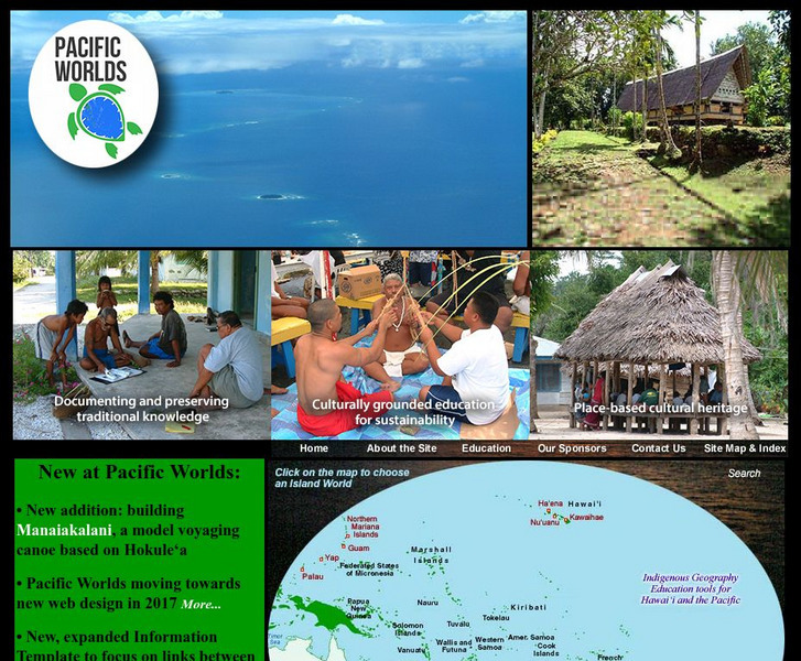
Pacific Worlds
Choose a location on the map and take a journey to a Pacific Island to gain a better understanding of its culture, geography, and environment. Some islands to explore include Hawaii, Guam, Yap, and Palau.
Curated OER
Hawaii Center for Volcanology: Loihi
Loihi is believed to be one of the youngest volcanoes in the Hawaiian chain. You can view elevation maps and even take a virtual tour.
Curated OER
Hawaii Center for Volcanology: Loihi
Loihi is believed to be one of the youngest volcanoes in the Hawaiian chain. You can view elevation maps and even take a virtual tour.
Curated OER
Rudaki Crater Area Color Map
New analysis of data returned by the Mariner 10 mission. Includes several photo images. Examines the possibility of volcanism in the history of Mercury and comparisons to Hawaiian and Lunar volcanic events.
Curated OER
Volcanoes on The
Loihi is believed to be one of the youngest volcanoes in the Hawaiian chain. You can view elevation maps and even take a virtual tour.


