K-State Research and Extensions
Water
How are maps like fish? They both have scales. The chapter includes six different activities at three different levels. Scholars complete activities using natural resources, learn how to read a map, see how to make a compass rosette,...
Teach Engineering
What's Wrong with the Coordinates at the North Pole?
Here is an activity that merges technology with life skills as individuals use Google Earth to explore the differences between coordinate systems and map projections. The self-guided worksheet is the fourth segment in a nine-part unit....
Teach Engineering
Who Can Make the Best Coordinate System?
Working with a map that does not have a coordinate system on it, small, collaborative teams must come up with a coordinate system for their map. Groups then explain their coordinate structure to the class.
BrainPOP
Latitude and Longitude Differentiated Lesson Plan
Scholars warm-up their map skills with a discussion using location words to describe familiar places. An engaging video informs class members about latitude and longitude. Three leveled activities extend the learning experience for...
101 Questions
Home Depot
Household emergencies often require supplies from a home improvement store. Pupils view a map showing a home and three different stores to determine which is the closest. Follow-up activities find close food options as well.
Bowland
You Reckon?
Sometimes simple is just better. A set of activities teaches young mathematicians about using plausible estimation to solve problems. They break problems down to simpler problems, use rounding and estimation strategies, and consider...
International Technology Education Association
Reinventing Time
Take a trip through time. A lesson resource provides instruction on the origin of current measurements for time. The text explains the different tools humans used throughout history to measure time as well as provides examples such as...
Illustrative Mathematics
Why Does SSS Work?
While it may seem incredibly obvious to the geometry student that congruent sides make congruent triangles, the proving of this by definition actually takes a bit of work. This exercise steps the class through this kind of proof by...
Curated OER
Latitude
Your young geologists generate a graph given a table of values from the context of latitude and percent of the earth's surface north of that latitude. The questions in the activity then focus the learners to a deeper understanding of the...
Curated OER
The Seven Continents Scavenger Hunt
Who doesn't enjoy an engaging scavenger hunt? Here, scholars listen to, and discuss, the informative text, Where is my Continent? by Robin Nelson. They then explore the seven continents and four major oceans using...
TeachEngineering
Teach Engineering: Nidy Gridy
Normally we find things using landmark navigation. When you move to a new place, it may take you awhile to explore the new streets and buildings, but eventually you recognize enough landmarks and remember where they are in relation to...
Annenberg Foundation
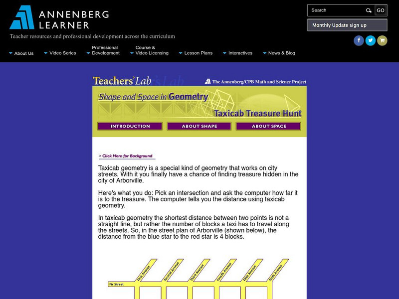
Annenberg Learner: Taxicab Treasure Hunt
Find the treasure hidden at an intersection in the city. Use the clues. Read the instructions then scroll to the bottom and click "hide the treasure".


