Countries and Their Cultures
Countries and Their Cultures: Dyula
"Dyula" is a Manding word typically referring to "traders" as a socio-professional category, particularly to Muslim long-distance traders who speak one or another dialect of Manding. The name is used as an ethnic label by...
Lizard Point Quizzes
Lizard Point Consulting: Africa
Use this resource to take the challenge to see how well you can identify the countries of Africa.
United Nations
United Nations: Cartographic Section: Great Lakes Region (Map 1) [Pdf]
The United Nations offers this very clear map of part of the Great Lakes region in eastern Africa. The lakes, of course, are labeled, as are the rivers, major cities, and countries.
Curated OER
Merriam Webster: Visual Dictionary Online: Cross Country Skier
Labeled diagram of the equipment used by a cross-country skier.
SMART Technologies
Smart: World Map
This lesson features a world map with labeled countries, a global map, and an interactive map of the seven continents.
Information Technology Associates
Information Technology Associates: Quick Maps
View countries of the world. Maps are quick and easy to read. Some are designed to be printed out for coloring and/or labeling.
ClassFlow
Class Flow: Name the Continents
[Free Registration/Login Required] This flipchart will allow students to label the continents and the oceans on a world map.
Other
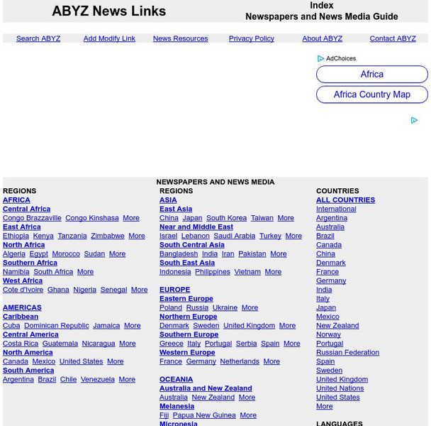
Abyz News Links
This site provides listings of links to online news sources from all over the world. Just type the country you're looking for in the search box or use the front page links. The news sources for each country are labeled either broadcast...
Houghton Mifflin Harcourt
Holt, Rinehart and Winston: World Atlas: Philippines
This map of the Philippines from MapQuest is a clear map labeling the cities, islands, and physical features. There is also a chart of some quick facts about the country.
Keene College
Geo Granite: Let's Find a Region
Students examine a map of a town, state, or country to see how it is divided into smaller areas. They then look for physical features that cause the area to be called a region. Finally they will compare their findings with another area...
Other
Metrocosm: Here's Everyone Who's Immigrated to the u.s. Since 1820
America is referred to as a "melting pot". View how we attained this label using the following map that shows patterns of immigration from 1820-2013. Included are charts that show the immigration "waves" by country from 1820-2013.
United Nations
United Nations: Cartographic Section: Southeast Asia [Pdf]
This map from the United Nations shows the countries of Southeast Asia. Major rivers are labeled, as are cities.
Curated OER
Educational Technology Clearinghouse: Maps Etc: Galway and Connemara, 1908
A detailed travel map of Ireland in 1908, showing portions of counties Galway and Clare, with the western section of Connemara labeled "Joyces Country." The map shows first class and secondary roads, railways, cities, towns, ports,...
Curated OER
University of Texas: Vanuatu: Political Map
A small political map of Vanuatu. Be aware that the country was called New Hebrides until 1971 and is thus labeled on this map. From the Perry Castaneda Collection.
Curated OER
Educational Technology Clearinghouse: Maps Etc: Nile, 1903
This is a highly detailed map of the Nile River basin from the Tropic of Cancer south to the river's source at Victoria Nyanza (Lake Victoria). This map shows both the Blue Nile and White Nile river systems in 1903. Major cities, trade...
Curated OER
Educational Technology Clearinghouse: Maps Etc: The Story of Africa, 1912
A stylized relief map of Africa, showing the Sahara, major rivers and lakes, mountains, "wild country," and other features. The Sahara is labeled as "The Great Desert that No Man Could Cross." with pyramids and temples drawn along the...
Curated OER
American Museum of Natural History: Images: Venezuela
Labeled map of the countries of South America, in which Venezuela is highlighted.


