Curated OER
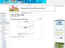
Kansas State Map
In this map of Kansas worksheet, students color and label major cities and physical features of this state. Students also study the location of Kansas in relation to the other states in the U.S. by studying the background map.
Curated OER
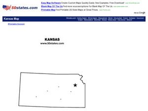
Kansas Outline Map
In this Kansas outline map worksheet, students examine political boundaries of the state and the placement its capital city as well as its major cities. This map is not labeled.
Curated OER
Name the States Worksheet 2
In this name the states worksheet, students examine 6 state map outlines and identify each of them by writing the state names and postal abbreviations.
Curated OER
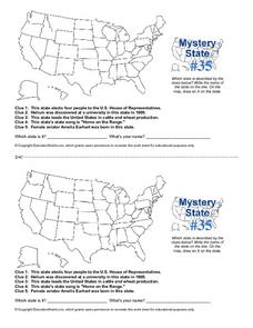
Mystery State #35
In this United States mystery worksheet, students determine which state is described by the 5 clues listed on the sheet and then mark it on the outline map of the United States.
Curated OER
Do You Know Your 50 States?
Learners use the names and abbreviations of the 50 states to label a blank map of the United States.
Curated OER
United States Map Quiz
In this online interactive geography quiz worksheet, students respond to 50 identification questions about the shapes of countries shown. Students have 5 minutes to complete the quiz.
Curated OER
States in the USA Quiz
In this online interactive geography quiz instructional activity, students respond to 50 identification questions about the states in the United States of America. Students have 4 minutes to complete the quiz.
Curated OER
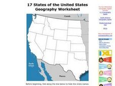
17 states
In this states worksheet, students label states in the United States that are on the west side of the country. Students label 17 states.
Curated OER
Midwestern States
In this United States geography worksheet, students study the image of the Midwestern states. Student then label the states with the following choices: Missouri, Iowa, South Dakota, Minnesota, Nebraska, Illinois, North Dakota, Kansas,...
K-State Research and Extensions
Water
How are maps like fish? They both have scales. The chapter includes six different activities at three different levels. Scholars complete activities using natural resources, learn how to read a map, see how to make a compass rosette,...
Curated OER
The Oregon Trail
In this Oregon Trail worksheet, students practice their map skills while they explore the states of Oregon, Missouri, Idaho, Nebraska, and Wyoming. Students us a map of the US to plot six points on the map that show the Oregon Trail.
Curated OER
United States Prepositions
In this prepositions worksheet, students use the clues to help them locate the positions of the state according to the prepositions given in each sentence.
Curated OER
Baseball--Where the Parks Are
In this social studies worksheet, students utilize a map to label the location of each city with a Major League team and then with colored pencils label the homes of the All-American Girls League teams.
Agriculture in the Classroom
A Holiday Tradition: Which Christmas Tree Will You Choose?
Different varieties of Christmas trees provide an interesting way to combine social studies, science, math, and technology. Class members not only research the history of the Christmas tree holiday tradition, they compare and...
Curated OER
North Or Northern?
In this direction words worksheet, students complete a ten question multiple choice on-line interactive quiz about the correct use of direction words such as north, northern, east, eastern.
Curated OER
Westward Expansion
In this westward expansion worksheet, students read and assess comprehension. In this short answer, matching, and timeline worksheet, students write answers to twenty-five questions.
Curated OER
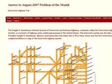
Interstate Highway Trip
In this algebra learning exercise, 11th graders calculate a path taken without repeating and crossing the same path more than once. They are given clues to help-them find the right answer. There is a solution key with his word problem.
