Hi, what do you want to do?
Curated OER
Educational Technology Clearinghouse: Maps Etc: Washington State, 1919
A map from 1919 of Washington showing the capital, Olympia, principal cities and towns, Indian reservations, railroads, mountains, lakes, rivers, and coastal features of the Puget Sound and Pacific.
Curated OER
Educational Technology Clearinghouse: Maps Etc: Wisconsin, 1909
A map from 1909 of Wisconsin showing the capital, Madison, principal cities and towns, Indian reservations, railroads, rivers, and shoreline.
Curated OER
Educational Technology Clearinghouse: Maps Etc: Wisconsin, 1919
A map from 1919 of Wisconsin showing the capital, Madison, principal cities and towns, Indian reservations, railroads, rivers, and shoreline.
Curated OER
Educational Technology Clearinghouse: Maps Etc: Wisconsin, 1922
A map from 1922 of Wisconsin showing the capital, Madison, principal cities and towns, Indian reservations, railroads, rivers, and shoreline.
Curated OER
Educational Technology Clearinghouse: Maps Etc: Wisconsin, 1920
A map from 1920 of Wisconsin showing the capital, Madison, counties and county seats, Indian reservations, principal cities and towns, railroads, lakes, rivers, and shoreline.
Curated OER
Educational Technology Clearinghouse: Maps Etc: Wyoming, 1909
A map from 1909 of Wyoming showing the capital, Cheyenne, principal cities and towns, Indian reservations, railroads, mountains, lakes, rivers, and Yellowstone National Park.
Curated OER
Educational Technology Clearinghouse: Maps Etc: Wyoming, 1920
A map from 1920 of Wyoming showing the capital, Cheyenne, counties and county seats, Indian reservations, principal cities and towns, railroads, mountains, lakes, rivers, and the Yellowstone National Park.
Curated OER
Educational Technology Clearinghouse: Maps Etc: Wyoming, 1914
A map from 1914 of Wyoming showing the capital, Cheyenne, counties and county seats, Indian reservations, principal cities and towns, railroads, mountains, rivers, and the Yellowstone National Park. A grid reference in the margin of the...
Other
Combined Arms Research Library: Atlas of the Sioux Wars:
An in-depth look at the Sioux Wars from 1862-1877. Included are maps for many topics discussed.
PBS
Pbs: New Perspectives on the West
This in-depth resource presents a history of the American West from pre-Columbian times until World War I with profiles, documents, and images. It encourages visitors to link these into patterns of historical meaning for themselves....
National Endowment for the Humanities
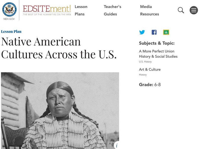
Neh: Edsit Ement: Native American Cultures Across the United States
Students explore different aspects of the cultures of the First Americans in this lesson plan. Stereotypes are often associated with Native Americans through movies and in the context of the Thanksgiving holiday. Specific information and...
Other
New Mexico Office of State Historian: 1864 Navajo Long Walk to Bosque Redondo
Explains the military's attempts to stop Navajo raids and the eventual evacuation of the Navajo to Bosque Redondo, the Navajo Long Walk. Hyperlinks for additional information.
PBS
Pbs: A Warrior in Two Worlds
This PBS biography tells the story of Ely Parker, who became a Seneca chief, legal scholar, engineer, Civil War hero, and Cabinet-level commissioner--all by the age of 40.
University of Missouri
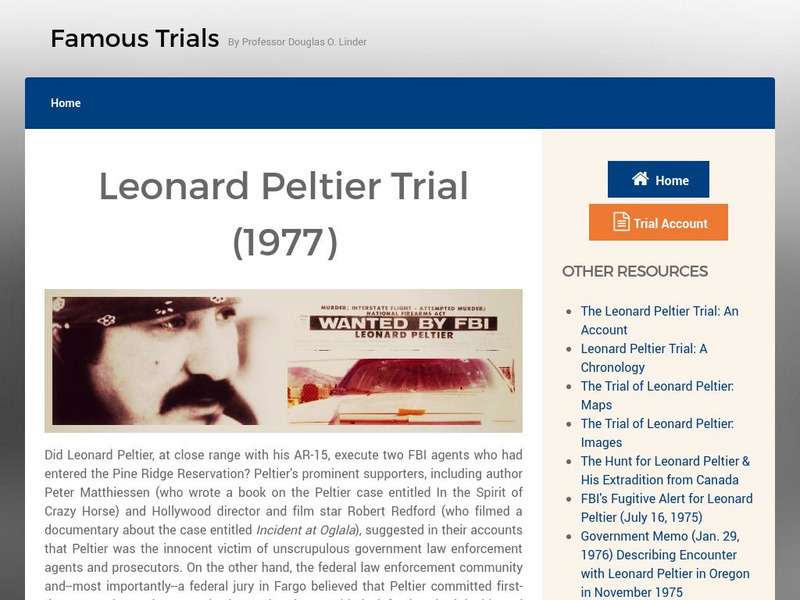
Famous Trials: An Account of the Leonard Peltier Trial
Read an account of th events that led to the arrest of Leonard Peltier for the murder of two FBI agents. Did he receive a fair trial? Find a wealth of information related to this controversial trial.
Other
Indigenous Peoples' Literature: Chief Sitting Bull
This site is an excellent resource on Sitting Bull. Not only does it include some famous quotes by him and an overview of his life, but it also contains a first-person account of his life which contains many interesting obscure facts and...
University of Missouri
Famous Trials: The Osage "Reign of Terror" Murder Trials
The "Reign of Terror" that overtook the Osage Reservation in 1921 is just one chapter in the long story of mistreatment of Native Americans by whites, but is one of the most horrifying. Before the chapter ends, untold dozens of Osage...
Other
Minnesota Territory: The Treaty Story
Offers a brief explanation of the causes and results of the Sioux Uprising in 1862.
Other
Navajo Hopi Land Dispute
This essay is an extensive looks at the dispute between the Hopi and Navajo Nations over land in Arizona.
Other
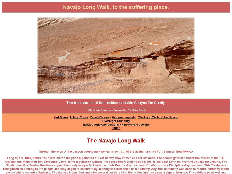
Canyon De Chelly: The Long Walk
An interesting compilation of information about the Navajo Long Walk as told to the author by his Navajo grandparents. Good insight into Navajo culture.
University of Groningen
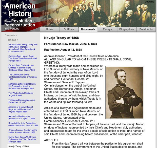
American History: Documents: Navajo Treaty of 1868
This site from the University of Groningen provides the text of the original document of the Navajo Treaty of 1868 signed by President Andrew Johnson.
University of Missouri
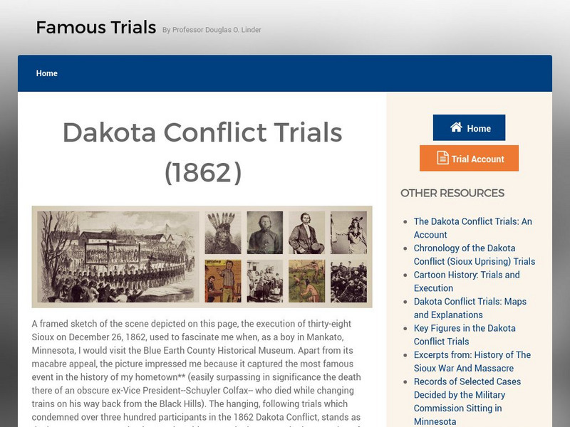
Famous Trials: The Dakota Conflict Trials of 1862
This site offers an in-depth study of the 1862 Sioux uprising. The framed web pages offer a chronology of the uprising , a cartoon history, pages of maps, biographies of key figures, accounts of the trials and the execution, an...
Legends of America
Legends of America: Navajo Long Walk to the Bosque Redondo
This essay is about the Najavo Long Walk.
Utah Education Network
Uen: Manuelito's Role as a Leader
Manuelito's role as a leader can be discovered through this lesson plan as well as the treaty between the Navajo in Fort Sumner and the United States. This lesson explores the traditional Navajo life with our modern world's ways of living.
Curated OER
National Park Service: Big Hole National Battlefield:
A description of the Battle of Big Hole in which the Nez Perce and whites alike suffered many casualties. From the National Park Service.
Other popular searches
- American Indian Reservations
- Indian Reservations Today
- Navajo Indian Reservations
- Georgia Indian Reservations
- Mt Indian Reservations


