Hi, what do you want to do?
University of Hawai'i
University of Hawaii: Understanding Correlation
This page gives a lot of information on correlation, including a section on the coefficient of correlation.
University of Hawai'i
Hawaii Center for Volcanology: Kilaueu
Kilauea erupted in 1790 and is still among the most active volcanoes today. Great graphics of the volcano. Excellent history information about previous eruptions.
University of Hawai'i
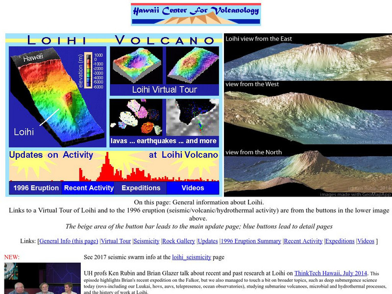
Hawaii Center for Volcanology: Loihi
Loihi is believed to be one of the youngest volcanoes in the Hawaiian chain. You can view elevation maps and even take a virtual tour.
University of Hawai'i
University of Hawaii: Communication Ethics
"Active Learning, Critical Thinking and Multicultural Education in Communication Ethics" discusses strategies to assist students in dealing with moral issues and to develop higher order thinking in the ethical decision-making process.
University of Hawai'i
University of Hawaii: Topics in Calculus
Good site on calculus with links to the topics about calculus.
University of Hawai'i
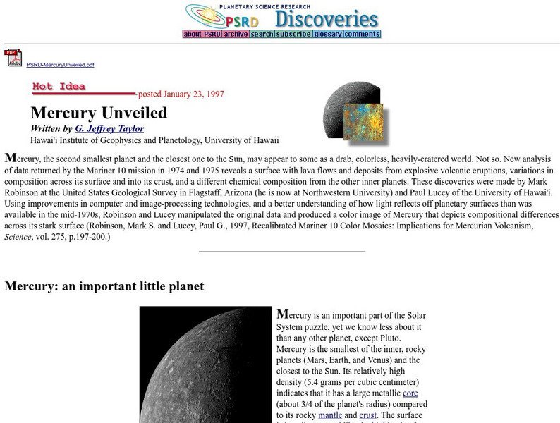
University of Hawaii: Mercury Unveiled
New analysis of data returned by the Mariner 10 mission. Includes several photo images. Examines the possibility of volcanism in the history of Mercury and comparisons to Hawaiian and Lunar volcanic events.
Other
Chicago Science Group: Earth's Changing Surface Virtual Field Trip
Join Science Companion author Belinda Basca and her family as they explore the land forms in Hawaii from a helicopter! Includes suggestions for teacher lessons, student activities, and web resources.
PBS
Pbs Learning Media: Coastal Communities Collection
This collection features videos that describe . ECHO members include people from Alaska Native Heritage Center and North Slope Borough ECHO Project in Alaska; Bishop Museum in Hawai'i; New Bedford ECHO Project and Peabody Essex Museum in...
Independence Hall Association
U.s. History: Hawaiian Annexation
Read about the annexation of Hawaii and how it was an on-and-off-and-on policy. See the influence of the American planters in the governmental workings of the Hawaiian monarchy.
EL Education
El Education: The Fish and Their Gifts
High school students write and illustrate original fables for younger students and create bilingual children's books to encourage cultural awareness on the Big Island of Hawaii.
EL Education
El Education: These Animals Live on My Ranch
Older students create bilingual books for younger students on the Big Island of Hawaii in an effort to preserve Hawaiian native culture and language. Text and illustrations are used to tell stories or teach about the life and culture of...
ClassFlow
Class Flow: Diamond Head
[Free Registration/Login Required] This flipchart talks about one of the most recognizable landmarks on Oahu, Hawaii - Diamond Head.
Curated OER
Clip Art by Phillip Martin: Hawaii the Aloha State
A clipart illustration by Phillip Martin titled "Hawaii - The Aloha State."
Curated OER
Clip Art by Phillip Martin: Hawaii Honolulu
A clipart illustration by Phillip Martin titled "Hawaii - Honolulu."
Curated OER
Educational Technology Clearinghouse: Maps Etc: Hawaii, 1920
A map from 1920 of the Hawaiian Islands showing the eight main islands of Hawaii, Maui, Kahoolawe, Lanai, Molokai, Oahu, and in the inset Kauai and Niihau, the capital of Honolulu on the island of Oahu, cities, towns, ports, railroads,...
Curated OER
Educational Technology Clearinghouse: Maps Etc: Hawaii, 1919
A map from 1919 of the Hawaiian Islands showing the eight main islands of Hawaii, Maui, Kahoolawe, Lanai, Molokai, Oahu, Kauai, and Niihau, the capital of Honolulu on the island of Oahu, cities, towns, ports, railroads, submarine cable...
Curated OER
Educational Technology Clearinghouse: Maps Etc: Hawaii, 1912
A map from 1922 of the Hawaiian Islands showing the eight main islands of Hawaii, Maui, Kahoolawe, Lanai, Molokai, Oahu, and in the inset Kauai and Niihau, the capital of Honolulu on the island of Oahu, cities, towns, ports, railroads,...
Curated OER
Educational Technology Clearinghouse: Maps Etc: Hawaii, 1922
A map from 1922 of the Hawaiian Islands showing the eight main islands of Hawaii, Maui, Kahoolawe, Lanai, Molokai, Oahu, and in the inset Kauai and Niihau, the capital of Honolulu on the island of Oahu, cities, towns, ports, railroads,...
Curated OER
Educational Technology Clearinghouse: Maps Etc: Hawaii, 1920
A map from 1920 of the Hawaiian Islands showing the capital of Honolulu on the island of Oahu, cities, towns, ports, district boundaries, railroads, submarine cable routes, volcanoes, and coastal features. The map is color-coded to show...
Curated OER
Wikipedia: National Historic Landmarks in Hawaii: Old Sugar Mill of Koloa
First commercially successful Sugar plantation in Hawaii.
Other
Hawaiian Kingdom: The u.s. Occupation
Article describing United States presence in the Hawaiian Islands from the 1890s to the present with links to outside resources that document the intervention, occupation, and annexation of these islands.
Tramline
Virtual Field Trip: Volcanoes
In this virtual field trip find out about how volcanoes are formed and what kind of destruction can they cause. Discover how volcanoes affect our environment and where can you find active volcanoes on earth and on other planets.
Other popular searches
- Hawaiian Music
- Annexation of Hawaii
- 8 Hawaiian Islands
- Natural History of Hawaii
- Hawaiian Culture
- Hawaiian Islands
- Map of Hawaii
- Hawaiian Marine Biology
- Hawaiian Ecosystem
- Hawaiian Studies
- Hawaii Foods
- Hawaii Art


