Teach Engineering
What's Wrong with the Coordinates at the North Pole?
Here is an activity that merges technology with life skills as individuals use Google Earth to explore the differences between coordinate systems and map projections. The self-guided worksheet is the fourth segment in a nine-part unit....
K-State Research and Extensions
Water
How are maps like fish? They both have scales. The chapter includes six different activities at three different levels. Scholars complete activities using natural resources, learn how to read a map, see how to make a compass rosette,...
Curated OER
Exploring Earth Through Maps and Technology
In this maps worksheet, students read 3 pages of detailed information about maps, latitude, longitude, topography, satellites and global positioning. Students then answer 10 questions. There is also a research project assignment available.
Curated OER
Distances on Coordinate Grids
In this grid worksheet, 5th graders use a grid map with coordinate points to answer six questions regarding distance between locations.
Curated OER
Where Am I? Map Activity
In this map activity worksheet, students determine which countries are shown on a set of 16 maps, then read facts about each country designed to help with a report on that country.
Illustrative Mathematics
Latitude
The greater the latitude, the less of the Earth is north. Scholars graph the relationship between the latitude and the percentage of the Earth that is north of the latitude. Using the graph and the table, class members interpret values...
EngageNY
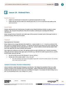
Ordered Pairs
Scholars learn to plot points on the coordinate plane. The activity introduces the idea that the first coordinate of a coordinate pair represents the horizontal distance and the second coordinate represents the vertical distance.
Curated OER
Gotham Equinox
By looking at the direction of the parallel streets of New York and figuring which days the setting sun is directly visible along those lines, your class can calculate the degree and angle of the sun. A really nice lesson, giving a...
Mathed Up!
Enlargements
Make enlargements with and without centers. Pupils work through seven problems dealing with dilations or enlargements. The first couple items are strict enlargements without centers, while the others have centers. Class members also...
Curated OER
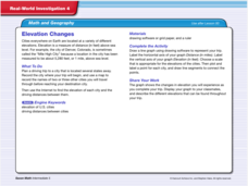
Real World Investigation- Math and Geography- Elevation Changes
For this math and geography real world investigation, 6th graders plan a driving trip to a city that is located several states away from their home while recording the elevations of three cities that are included in the trip. They use...


