Public Schools of North Carolina
Democratic Republic of Congo - Map Skills
Work on your map skills with a packet of activities about the river basins in the Democratic Republic on Congo. Learners study the maps provided before answering the geography questions and writing an acrostic poem about the region.
Oregon State
World Map of Plate Boundaries
Young geologists piece together the puzzle of plate tectonics in an earth science lesson. Given a physical map of the world, they search for land formations that indicate the location of different types of plate boundaries.
It's About Time
The Changing Geography of Your Community
Lead your class in exploring their local communities as well as the general environment. As they determine continental distributions by investigating minerals, rocks, and fossils located in their local region, pupils construct...
Geophysical Institute
Latitude and Longitude with Google Earth
Travel the world from the comfort of your classroom with a lesson that features Google Earth. High schoolers follow a series of steps to locate places all over the earth with sets of coordinates. Additionally, they measure the distance...
Teach Engineering
What is GIS?
Is GIS the real manifestation of Harry Potter's Marauders Map? Introduce your class to the history of geographic information systems (GIS), the technology that allows for easy use of spatial information, with a resource that teaches...
Johns Hopkins University
The Johns Hopkins University: Kansas State Maps
At this site from The Johns Hopkins University Applied Physics Laboratory, you can learn more about the great state of Kansas through its geography. You can learn a lot of information by studying maps. Different types of maps can give...
Johns Hopkins University
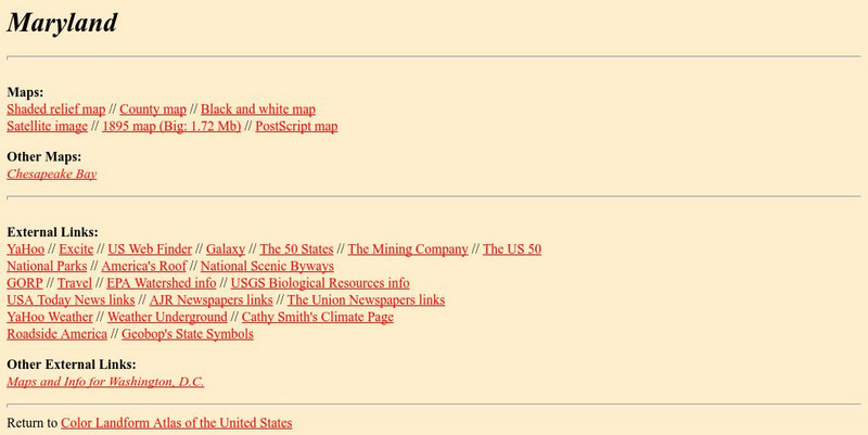
The Johns Hopkins University: Maryland State Maps
At this site from Johns Hopkins University Applied Physics Laboratory, you can learn more about the geography of Maryland by studying the maps found on this website. The maps are colorful and easy to understand.
Johns Hopkins University
The Johns Hopkins University: Minnesota State Maps
This site is provided for by The Johns Hopkins University Applied Physics Laboratory. What did the area of Minnesota look like in 1895? If you would like to see a map of Minnesota from 1895 look no further than this website. There are...
Other
Internet Geography: Rivers
Discover rivers with this informative personal site containing helpful information and an easy-to-understand map illustrating the parts of a river. Learn about the negative effects of a river and some case study examples.
Forum Romanum
Outlines of Roman History: Beginnings of Rome: The Situation of Rome
The seven hills of Rome are shown on two maps, showing the hills and their relation to neighboring lands on the Italian peninsula. There is a brief discussion on the geographic importance of the hills.
National Geographic
National Geographic: To Build an Island
"This lesson gives students a basic overview of the geography of islands. They learn where islands are located throughout the world and will study two very different island groups (the Philippines and the British Isles) to illustrate the...
National Geographic
National Geographic: Getting Lost
The National Geographic Society provides this lesson on cardinal directions for primary students that employs common classroom materials.
University of Washington
A Visual Sourcebook of Chinese Civilization [Pdf]
The goal of this "visual sourcebook" is to add to the material teachers can use to help theirstudents understand Chinese history, culture, and society. It was not designed to standalone; we assume that teachers who use it will also...
AllRefer
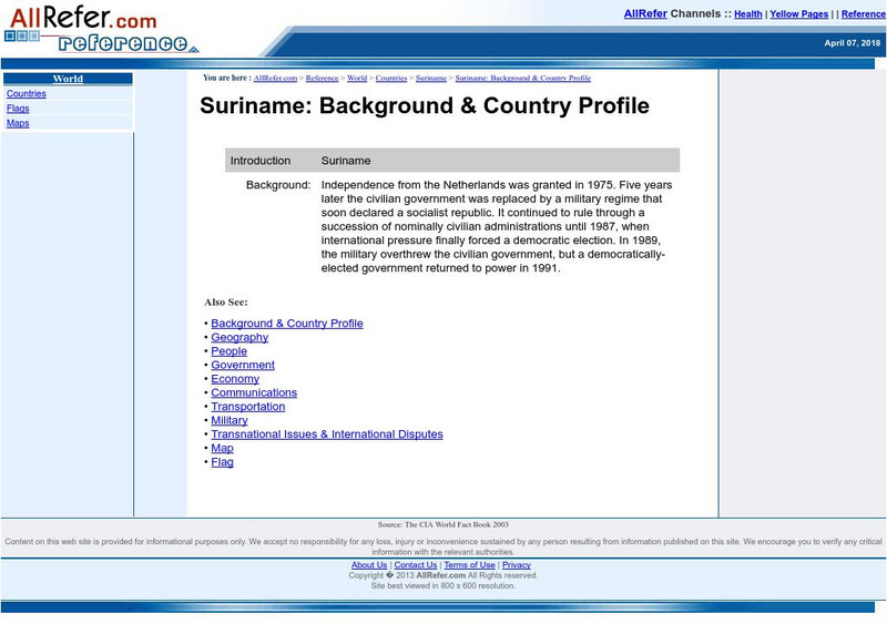
All Refer Reference: Suriname: Introduction & Country Profile
Good resource for studying about the South American country of Suriname. Learn meaningful facts about its geography, culture, economy, government, and more. You can view a map and a flag, too.
AllRefer
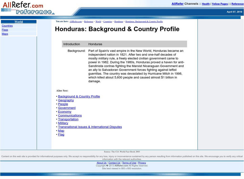
All Refer Reference: Honduras: Introduction & Country Profile
Good reference resource for studying about Honduras. Importance is given to the categories of geography, history, government, economy, and people. A map and picture of the flag are included.
AllRefer
All Refer: Reference: Panama: Introduction & Country Profile
Good resource for studying about the Central American country of Panama. Learn significant facts about its geography, culture, economy, government, and more. You can even view a map and a flag.
AllRefer
All Refer Reference: Niger: Introduction & Country Profile
Good resource for studying about the African country of Niger. Learn meaningful facts about its geography, culture, economy, government, and more. You can view a map and a flag, too.
Other popular searches
- Geography Map Skills Scale
- Geography Map Skills Europe
- Usa Geography Map Skills
- Geography Map Skills Us
- Canada Geography Map Skills
- Map Skills Geography Themes
- Geography Map Skills Ohio
- Map Skills Geography


![A Visual Sourcebook of Chinese Civilization [Pdf] Handout A Visual Sourcebook of Chinese Civilization [Pdf] Handout](https://d15y2dacu3jp90.cloudfront.net/images/attachment_defaults/resource/large/FPO-knovation.png)


