Curated OER
Science Kids: Science Images: Ecuador Flag
The national flag of Ecuador, a country in South America.
New Advent
Catholic Encyclopedia: Ecuador
This site from The New Advent contains information on the history and involvement of the Catholic Church in this Latin American country. Please note that "The Catholic Encyclopedia" is a historic reference source and should be viewed in...
Curated OER
Map of Ecuador
The BBC gives information about the Latin American country of Ecuador with details on geography, culture, its leaders, and its news media. Updated in April, 2005. Check out the link to the timeline.
Curated OER
Ecuador flag.gif (13935 Bytes)
Comprehensive reference tool with an abundance of country specific information about the South American country of Ecuador. Content covered includes photos, symbols, provinces, history, economy, geography, climate, population, culture,...
Curated OER
Ecuador map.jpg (42166 Bytes)
Comprehensive reference tool with an abundance of country specific information about the South American country of Ecuador. Content covered includes photos, symbols, provinces, history, economy, geography, climate, population, culture,...
Curated OER
Ecuador Map .Gif (35419 Bytes)
Comprehensive reference tool with an abundance of country specific information about the South American country of Ecuador. Content covered includes photos, symbols, provinces, history, economy, geography, climate, population, culture,...
Curated OER
Science Kids: Science Images: Map of Ecuador
A map featuring Ecuador and its neighboring countries.
Other
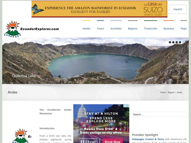
Ecuador Explorer: The Andes
Detailed information about individual cities of the Andes Mountains.
Other
Desarrollo Rural Integral Del Occidente De Pichincha
A plan for the overall growth and development of the Pichincha region of Ecuador.
Other
Native Web: Miguel Andrango, Maestro Del Telar
Indigenous artisan, Miguel Andrango, is described as the "master of the loom." Miguel, and others like him in the Andean highlands of northern Ecuador create traditional weavings with the dying method of what is called a backstrap loom....
DOGO Media
Dogo News: Researchers Unveil New Species of 'Miniature Dragons'
Read about three new species of lizards, referred to as "miniature dragons", discovered in the Amazon cloud forests of Ecuador and Peru.
Department of Defense
Do Dea: Spanish 1: Unit 4: La Hora
In this fourth unit of an introductory Spanish course that focuses on Ecuador, students learn about different types of verbs in Spanish, time, the difference between al and a la, interrogatives, how to develop a schedule of events,...
Other
El Castellano: Las Radios en Espanol, Pais Por Pais
More than 100 Spanish-speaking radio stations, listed country by country, that can be accessed on the internet. A great way to develop skills in listening comprehension! Some sites may be inactive, but the majority are up and running....
Other
Declaracion De Paz: Ecuador Peru
a digital copy of the peace agreement signed in 1998 by the Peruvian and Ecuadorian Presidents. English available on the homepage.
Curated OER
Embassy of Ecuador in Washington, Dc: Country Information
Good resource for country specific information on the geography of Ecuador from the Embassy of Ecuador. Covers the Coast, the Highlands, the Amazon, and the Galapagos Islands.
Curated OER
Geology.com: Ecuador Map Ecuador Satellite Image
Check out this great satellite image of Ecuador from Google Earth. Scroll past the informative political map to see the image. There is more information about the country below the satellite map.
Curated OER
Flag of Ecuador
Explore the geography, history, government and facts of Ecuador. Maps and current flag are included.
Curated OER
Ecuador Political Map
Check out this great satellite image of Ecuador from Google Earth. Scroll past the informative political map to see the image. There is more information about the country below the satellite map.
Curated OER
Ecuador Satellite Photo
Check out this great satellite image of Ecuador from Google Earth. Scroll past the informative political map to see the image. There is more information about the country below the satellite map.
Curated OER
Etc: Maps Etc: Colombia, Ecuador, Venezuela and the Guianas, 1906
A map from 1906 showing the borders of Columbia, Ecuador, Venezuela, and the Guianas at the time. The map shows capitals, major cities, towns, ports, railroads, rivers, terrain and coastal features of the region, and portions of Panama,...
Curated OER
Unesco: Ecuador: Historic Centre of Santa Ana De Los Rios De Cuenca
Santa Ana de los Rios de Cuenca is set in a valley surrounded by the Andean mountains in the south of Ecuador. This inland colonial town (entroterra ), now the country's third city, was founded in 1557 on the rigorous planning guidelines...
Curated OER
Bird in Cuyabeno, Ecuador
Enjoy a photographical journey through Ecuador in all seasons. You can travel from the jungle - full of exotic plants and animals - to the highlands with their immense snow-covered and still active volcanoes- all these you can see in...
Curated OER
Ecuador
Enjoy a photographical journey through Ecuador in all seasons. You can travel from the jungle - full of exotic plants and animals - to the highlands with their immense snow-covered and still active volcanoes- all these you can see in...
Other popular searches
- Ecuadorian Rainforest
- Ecuador Rain Forest
- Ecuador Rainforest
- Ecuadorian Rain Forest
- Cultures Ecuador
- Ecuador Homework
- Ecuador Dances
- History of Ecuador
- Ecuador ,.South America
- Chachi People of Ecuador
- Ecuador Folktales
- Ecuador Lesson Plan


