Curated OER
This Dynamic Earth: The Story of Plate Tectonics
Discuss Earth's tectonic plates at middle school level with an informative presentation. Packed with maps, satellite images, diagrams, and photographs, the slideshow connects with any curriculum focused on plate tectonics. It...
Curated OER
A Comparison of Cloud Coverage Over Africa
Students use a NASA satellite data to contrast amounts of cloud coverage over different climate regions in Africa. They explore how Earth's major air circulations affect global weather patterns, and relate to local weather patterns.
Science 4 Inquiry
Deforestation
Young scientists observe deforestation from satellite photos and discuss the importance of forests to the global environment. They then simulate a plot of forest when farmers move into the area over the course of seven years. Finally,...
Curated OER
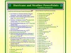
Hurricane and Weather Power Points
Providing a wealth of information about hurricanes, tornadoes, and other types of weather-related events, this resource could be used in the classroom in a variety of ways. A teacher could use the PowerPoints listed as a way to introduce...


