Hi, what do you want to do?
OpenStax
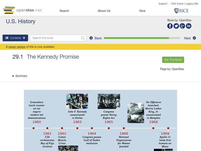
Open Stax: Contesting Futures: America in the 1960s: The Kennedy Promise
Discusses Kennedy's rise to power and the challenges he faced from within the government, his focus on foreign policy, the conflict with Cuba, American involvement in Vietnam, support for racial equality and civil rights, and Kennedy's...
Stanford University
Sheg: Document Based History: Reading Like a Historian: Spanish American War
[Free Registration/Login Required] Students use primary source documents to investigate central historical questions. In this investigation students study the Spanish-American War by watching a documentary video, reading a telegram...
New York Times
New York Times: Photographer's Journal: Three Days With Fidel
A video presentation of black-and-white photographs taken in Cuba, 1964. Richard Eder, foreign corespondent for the New York Times, and photographer Jack Manning capture Castro's celebrity status, supporters, and interaction with farmers...
Patrick McSherry
Spanish American War Centennial: The Diary of Private William C. Kniffen
Diary of Private William C. Kniffen describes life and actions during the Spanish-American War in Cuba.
Other
Cuba Net: Marine Officer Wrote After Bay of Pigs
In the after-action report filed by Marine Col. Jack Hawkins following the Bay of Pigs, he writes that the only way to oust Castro would be with another attempt using overt intervention with U.S. military power.
US National Archives
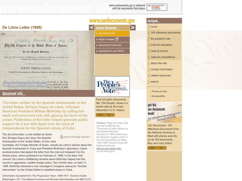
Our Documents: De Lome Letter (1898)
This site features an online facsimile of the letter written by the Spanish Ambassador to the United States in which he criticized American President William McKinley. Its publication generated public support for a war with Spain over...
Other
Cuban Rafter Crisis
Phenomenal site that explores the Cuban raft crisis of 1994 and the experiences of the thousands of Cuban refugees who left Cuba by raft. Included are videos, pictures, primary source documents, timeline of key events, and more.
Other
El Castellano: Las Radios en Espanol, Pais Por Pais
More than 100 Spanish-speaking radio stations, listed country by country, that can be accessed on the internet. A great way to develop skills in listening comprehension! Some sites may be inactive, but the majority are up and running....
Hartford Web Publishing
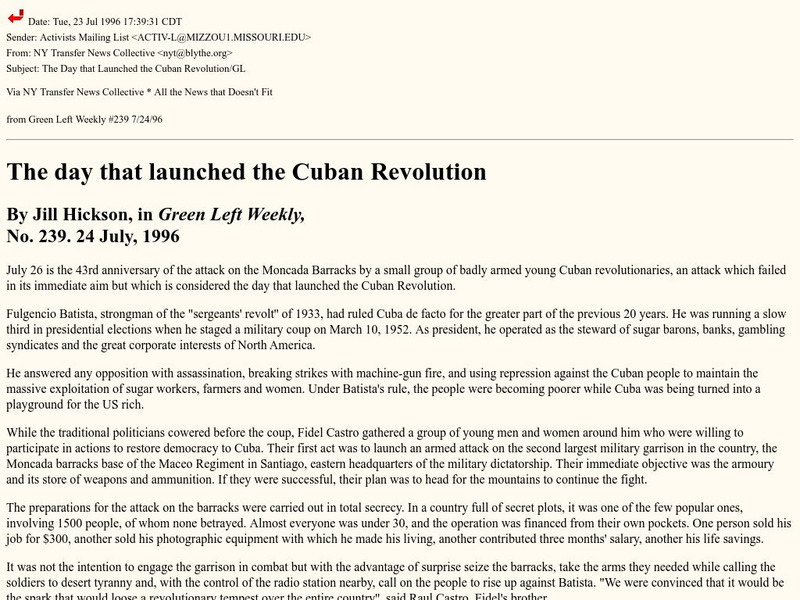
World History Archives: Green Left Weekly:day That Launched the Cuban Revolution
A rather uncritical article about the beginning of the Cuban Revolution. The author is critical of the US policy against Cuba by only highlighting the perceived positives of the Castro regime and none of the negatives.
Patrick McSherry
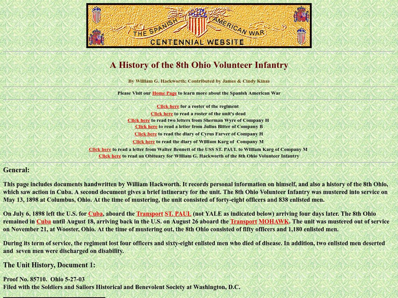
Spanish American War Centennial: The 8th Ohio Volunteer Infantry
Check out this site to read a personal account of an infantryman whose unit saw action in Cuba during the Spanish-American War.
Mount Holyoke College
Mt. Holyoke: American Interests in the Cuban Revolution
Written by Grover Cleveland, this paper presents the U.S. position for involvement in the affairs of Cuba.
Curated OER
Flag of Cuba
Infoplease provides extensive information about the geography and history of Cuba. It includes information on its size, location, and neighboring countries.
Curated OER
Flag of Cuba
Explore the geography, history, government and facts of Cuba. Maps and current flag are included.
Curated OER
Educational Technology Clearinghouse: Maps Etc: Cuba, 1920
A map from 1920 of Cuba showing the capital of Havana, provinces and provincial capitals, major cities and towns, railroads, rivers, terrain and coastal features, and smaller neighboring islands. The map shows Cuba's proximity to...
Curated OER
Educational Technology Clearinghouse: Maps Etc: Cuba, Haiti, and Jamaica, 1904
A map from 1904 of Cuba, Jamaica, Haiti, and Santo Domingo showing capitals and major towns, ports, mountain systems, rivers, and coastal features. The provinces of Cuba are shown with province capitals.
Curated OER
Etc: Maps Etc: Cuba, Puerto Rico, and Jamaica, 1910
A map from 1910 of Cuba, Jamaica, and Porto Rico (Puerto Rico), showing provinces, capitals and major cities, mountain systems, rivers, coastal features, and smaller banks and islands. Several inset maps are given, including a general...
Curated OER
Educational Technology Clearinghouse: Maps Etc: Cuba, 1901
A map from 1901 of Cuba showing the provinces and provincial capitals, major cities and towns, railroads, rivers, terrain and coastal features, and smaller neighboring islands.
Curated OER
Educational Technology Clearinghouse: Maps Etc: Cuba, 1909
A map from 1909 of Cuba and the Isle of Pines showing the provinces and provincial capitals, major cities and towns, railroads, submarine telegraph cable routes, rivers, terrain and coastal features, reefs, and smaller islands.
Curated OER
Educational Technology Clearinghouse: Maps Etc: Cuba, 1912
A black and white map from 1912 of Cuba showing the provinces and provincial capitals, major cities and towns, railroads, submarine telegraph cable routes, rivers, terrain and coastal features, reefs, and smaller neighboring islands.
Curated OER
Educational Technology Clearinghouse: Maps Etc: Cuba, 1919
A map from 1919 of Cuba and the Isle of Pines showing the provinces and provincial capitals, major cities and towns, railroads, submarine telegraph cable routes, rivers, terrain and coastal features, reefs, and smaller islands. The map...
Curated OER
Etc: Maps Etc: Cuba, Jamaica, and Haiti Islands, 1901
A map from 1901 of Cuba, Jamaica, and an inset of Hispaniola (Haiti and Santo Domingo or Dominican Republic), showing provinces and province capitals, major cities, towns and ports, railroads, terrain and coastal features, and smaller...
Curated OER
Educational Technology Clearinghouse: Maps Etc: Cuba and Mexico, 1903
A map from 1903 of Cuba, Isle of Pines and Jamaica, showing the provinces at the time, province capitals, major cities, towns and ports, railroads, mountains, rivers, coastal features, and smaller neighboring islands. An inset map...
Other popular searches
- Cuban Missile Crisis
- Cuba Geography
- Cuban Revolution
- Cuba Revolution
- Cuba 15
- Endangered Animals in Cuba
- Cuba Lesson Plans
- Cuba and u.s. Government
- Cuba Culture
- Communism Cuba
- Kennedy Cuba
- Cuba Culture Communication


