University of Texas at Austin
Ut Library: Perry Castaneda Maps of Ohio
A collection of state, city and historical maps of Ohio. Also includes maps of national parks and monuments in the state.
University of Texas at Austin
Ut Library: Perry Castaneda Maps of Alabama
Here you will find state and city maps (including outline and topographical maps) of Alabama. Also includes historical maps and maps of Alabama's National Parks.
Smithsonian Institution
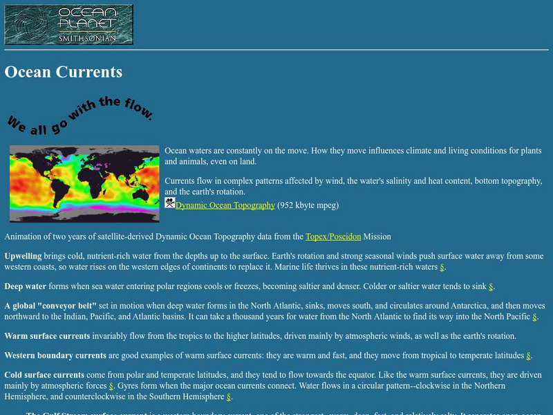
National Museum of Natural History: Ocean Planet: Ocean Currents
The Ocean Planet exhibit at the Smithsonian explains the general features of ocean circulation. A general look at upwelling, deep water, and currents are combined for an overall view.
Library of Congress
Loc: Conservation and Environment
Understand the historic and recent use of land in various areas in the United States based on the maps on this site. "These maps show the changes in the landscape, including natural and man-made features, recreational and wilderness...
Johns Hopkins University
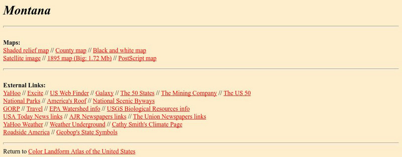
The Johns Hopkins University: Montana State Maps
At this site from The Johns Hopkins University Applied Physics Laboratory, you can learn more about the topography of Montana through this informative website. These maps are extremely detailed.
World Facts US
World Facts: Geography of Venezuela
Features detailed information about the topography, climate, and hydrography of Venezuela. Click on the link to take a look at the map.
Science Education Resource Center at Carleton College
Serc: Topographical Maps, Contour Lines and Profiles
In this mapping field lab students determine the elevation of a given object in a designated area on the school campus using cartography tools. Then they use of these tools to create a contour map of the area.
Science Education Resource Center at Carleton College
Serc: Exploring Air Quality in Aura No2 Data
This activity illustrates how data can be imported into Google Earth for visualization and interpretation. Young scholars are introduced to air quality as it relates to population density and topography.
Alberta Online Encyclopedia
Alberta Online Encyclopedia: The Boreal Forest
The Boreal Forest region of Alberta, Canada is featured in this effective site. The topography and types of trees found in this area are identified. A brief portion of this site is devoted to the impact of forest fires on flora and fauna...
Natural History Museum
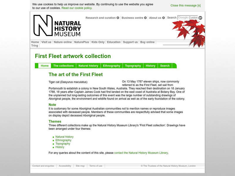
Natural History Museum: The Art of the First Fleet
A fascinating look at art showing the environment and wildlife that was done by artists who were in the First Fleet, the first group of settlers to come to Australia in 1787. The artworks have been arranged under four categories: Natural...
Natural History Museum
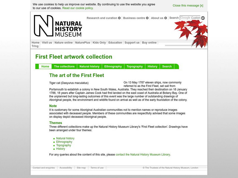
Natural History Museum (London): The Art of the First Fleet
A fascinating look at art showing the environment and wildlife that was done by artists who were in the First Fleet, the first group of settlers to come to Australia in 1787. The artworks have been arranged under four categories: Natural...
Geographic
Photius: Bahrain Geography and Population
Read about Bahrain's topography. Made up of several islands, you can find out how the country is connected by causeways from one island to the next.
Science Education Resource Center at Carleton College
Serc: California Climate and the Atmosphere
In this 3-part lesson, students explore California climate and factors that are leading to changes within this climate system. Students begin by exploring California's climate and the state's topography. Next, they investigate coastal...
Other
Ozark Mountains
Visit this extensive site detailing all aspects of the Ozark Mountains, from wildlife to topography to visitor information. Discover the diverse landscape of the Ozarks and the many activities available there.
Other
Environments and Ecosystems of North Carolina
North Carolina is located within the temperate deciduous forest global biome, however, a great variety of forest and non-forest ecosystems may be found within the state. The temperature and moisture regimes throughout North Carolina are...
Travel Document Systems
Tds: Oman: Geography
From the CIA World Fact Book comes this listing of the geographical topics concerning Oman. You can find out about the topography, climate, size, and land use.
Travel Document Systems
Tds: Uae: Geography
Here is a quick look at the facts about UAE's geography including climate, topography, natural resources, and land use. From the CIA World Fact Book.
Ohio History Central
Ohio History Central: Shaping the Land
This site contains maps and other information about the Ohio's topography. Great details about how glaciers played a key role in the formation of Ohio's land, the natural resources left behind, and the natural regions and their differences.
CK-12 Foundation
Ck 12: Plix: Bathymetric Evidence for Seafloor Spreading
[Free Registration/Login Required] A site where students can label the features of the ocean floor such as: mid-ocean ridge, rift, and more. Also on the site is a short quiz about the different topography of the ocean floor.
Central Pacific Railroad Photographic History Museum
Cprr Photographic History Museum: Locating the Central Pacific Railroad
From a book "The First Transcontinental Railroad" by John Debo Galloway, a civil engineer, comes this comprehensive description of the topography of the route of the Central Pacific Railroad.
Other
Topo Zone: Free Usgs Topo Maps for the Entire United States
A huge collection of topographic maps for each of the US states. Scroll down to see a map of the United States and click on the state you are interested in. From there, you can search for a particular location, choose a featured map, or...
Country Studies US
Country Studies: Afghanistan: Mountains
An interesting discussion of the mountain ranges in Afghanistan. There is information about the meanings of the names, the various roads and passes through the mountains, and some mention of vegetation in the mountains. From Library of...
Other
Photo.net: Costa Rica: The Land
A geographic and topographical exploration of Costa Rica which covers all of the regions of the country.
Other popular searches
- Contour Maps
- Contour Maps and Elevation
- Contour Maps Topography
- Contour Lines Maps
- Contour Lines on Maps
- Contour Lines Map Reading
- Reading Contour Maps
- Contour Interval Map Scale
- Worksheets Contour Maps
- Geography Contour Maps
- Isolines and Contour Maps
- Music Contour Maps


