Hi, what do you want to do?
National Endowment for the Humanities
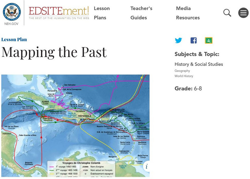
Neh: Edsit Ement: Mapping the Past
Students will examine European world maps from the Middle Ages, the Age of Discovery, and the period of New World exploration. They will then look at maps that record the early exploration of the American West and collect present-day...
University of Virginia
Lewis and Clark: Maps of Exploration 1507 1814
An online resource from the University of Virginia Library. This exhibition includes maps, documents, and a great overview map collections from the first images of the New World to maps from the Lewis and Clark Expedition.
Discovering Lewis & Clark
Discovering Lewis & Clark: Geography
How did Lewis and Clark map the unknown lands? Learn how they marked the territory using mental mapping, Indian spatial concepts, and formal navigation.
Other
The Story of the Us Told in 141 Maps
This collection of United States maps includes a year-by-year. Beginning from the Declaration of Independence and extending to present-day, students will learn explore and interact with these maps that change year-by-year.
Library of Virginia
Virginia Memory: Blank Space: Mapping the Unknown
How did early maps show the mapmakers' perception of the known world? Early mapmakers used maps drawn from coastal explorations, land travels, and even information heard word of mouth from American Indians or from colonists or traders....
University of Richmond
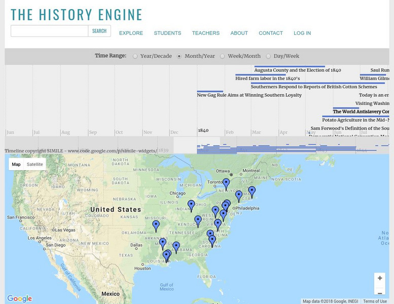
University of Richmond: The History Engine
Explore this in-depth history of the United States beginning in 1840 by clicking on a date or location on this interactive map, or by manipulating the timeline above. Each event is accompanied by a description and details, with links to...
Annenberg Foundation
Annenberg Learner: u.s. History Map Interactive
Become a geography whiz as you learn how the United States was settled. Discover how the continent was irrevocably changed by European colonization, the events that caused the wholesale displacement and decimation of the land's original...
Library of Congress
Loc: Discovery and Exploration
This American Memory site documents the discovery and exploration of the Americas with both manuscripts and published maps, many of which date from the European Age of Discovery. The site includes 22 map titles and descriptions, as well...
Other
Completed Maps for Fasttrack to America's Past
This interesting site provides quite a variety of maps from the 1400s to the present, all based on important events occurring in America. You can find a map of Trade Routes Before Columbus, the Japanese Empire, Civil Rights Hot Spots and...
The Newberry Library
Newberry Library: Historic Maps in K 12 Classrooms
Great resource for teachers of geography and American history for all levels. You will find lesson plans based on the use of maps for all ages.
University of Oregon
Mapping History: American History
Interactive and animated maps and timelines of historical events and time periods in American history from pre-European times until post-World War II.
Library of Congress
Loc: Map Collections 1500 2002
This collection provides maps dating back to 1500 up to the present. The collection includes: cities, towns, discovery and exploration, conservation and environment, military battles, cultural landscapes, transportation, communication,...
Library of Congress
Loc: 1562 Map of America by Diego Gutierrez
Read about the life and work of Spanish cartographer Diego Gutierrez, who mapped the Americas in 1562. Also view his map, which was the largest and most detailed map of the region for a century.
PBS
Wgbh/pbs: Westward Expansion 1860 1890
Many changes across the country during the westward expansion were features that could be captured on a map. Review this map and select characteristics to be illustrated. Characteristics such as population, major cities, railroads, and...
Other
Vox Media: 37 Maps That Explain How America Is a Nation of Immigrants
Excellent resource consists of a collection of maps, graphs and informational text on the demogrpahy of the U.S. explaining how America is a nation of immigrants.
Annenberg Foundation
Annenberg Learner: United States History Map: The Nation Expands
After examining a map showing the expansion of the United States, click to read about each addition to the country and see where that addition is. Play Expansion Concentration to test your skills.
University of Texas at Austin
Ut Library Online: Historical Maps of the United States
This extensive collection of Historical United States maps from the University of Texas Library Online cover early inhabitants, exploration and settlement, territorial growth, military history, and later historical maps. These maps are...
University of Oregon
Mapping History Project: Slavery in the American South: 1790 1860
Watch this interactive map to see the spread and concentration of slavery in the South from 1790 to the eve of the Civil War Click on the map to begin. The timeline at the bottom indicates the year. Be sure to access the key. Shockwave...
University of Oregon
Mapping History Project: Missouri Compromise: 1820
Interactive map showing free states and territories and slave states and territories before and after the Missouri Compromise of 1820. Click on the map to choose before or after and the key. Shockwave required.
Other
Animated Atlas: Growth of a Nation
A 10-minute movie showing the expansion of the United States after the end of the Revolutionary War. Follow the directions to start the movie and listen to the explanations.
CommonLit
Common Lit: Themes: America: How Has America Changed Over Time?
This is a collection of Grade-Leveled texts (3-12) to address the question, "How has America changed over time? Select a grade level and a collection of on grade-level reading passages on the topic comes up. [Free account registration...
University of Oregon
University of Oregon: Mapping History: Kansas Nebraska Act: 1854
Toggle back and forth on this interactive map to see how the Kansas-Nebraska Act of 1854 completely negated the Missouri Compromise. Click on the map to see where slavery was permitted before 1854 and then after. Be sure to click on the...
University of Oregon
University of Oregon: Mapping History: Slave Crops in the American South: 1860
This very interesting map shows the crops grown by slaves on plantations in pre-Civil War South.
Khan Academy
Khan Academy: Taxation Without Representation: The Boston Tea Party
An overview of the Tea Act and the Boston Tea Party.


