National Wildlife Federation
Quantifying Land Changes Over Time Using Landsat
"Humans have become a geologic agent comparable to erosion and [volcanic] eruptions ..." Paul J. Crutzen, a Nobel Prize-winning atmospheric chemist. Using Landsat imagery, scholars create a grid showing land use type, such as urban,...
Chicago Botanic Garden
Historical Climate Cycles
What better way to make predictions about future weather and climate patterns than with actual climate data from the past? Young climatologists analyze data from 400,000 to 10,000 years ago to determine if climate has changed over...
Skyscraper Museum
Changes in a City Over Time
Investigate the growth and development of New York City with the final lesson in this four-part series on skyscrapers. Learners first explore the concept of urban growth by looking closely at a series of three paintings made of Wall...
Chicago Botanic Garden
Climate Change Around the World
Look at climate change around the world using graphical representations and a hands-on learning simulation specified to particular cities around the world. Using an interactive website, young scientists follow the provided...
Balanced Assessment
Ford and Ferrari
Which is faster, a Ford or a Ferrari? The short assessment has pupils analyze graphs to determine the rates of change between the two. Individuals interpret the rates of change within the context of speeds of the cars and develop a map...
Howard Hughes Medical Institute
EarthViewer
Can you imagine Washington DC and London as close neighbors occupying the same continent? Learners will be fascinated as they step back in time and discover the evolution of the earth's continents and oceans from 4.5 billion...
Orange County Water Atlas
Location, Location, Location…
Young geographers discover not only how to read and recognize coordinates on a map, but also gain a deeper understanding of latitude and longitude and how climate changes can vary significantly across latitudes.
New York State Education Department
Global History and Geography Examination: June 2011
People in Ukraine, Rwanda, and Cambodia have all faced challenges to their human rights and even genocide. Using primary and secondary sources, scholars evaluate these challenges and the international community's role in them. The...
Curated OER
Maryland’s Chesapeake Bay Landscape Long Ago and Today
Combine a fantastic review of primary source analysis with a study of Captain John Smith's influence on the Chesapeake Bay region in the seventeenth century. Your young historians will use images, a primary source excerpt, and maps...
Columbus City Schools
Diversity of Living Things
Here's a topic classes can really dig—the fossil record. Use the well-organized and thoughtful road map to take eighth graders back in time to unearth the answer. Learn how our climate has changed, and how organisms have...
National Endowment for the Humanities
Lesson 1: On the Road with Marco Polo: A Boy in 13th Century Venice
Learners investigate Marco Polo's life as a young boy in 13th century Venice. They analyze maps, explore various websites, complete a chart and answer discussion questions, and create a travel brochure about visiting 13th century Venice.
National Endowment for the Humanities
Native American Cultures Across the U.S.
Middle schoolers examine how American Indians are represented in today's society. They read stories, analyze maps, and complete a chart and create an illustration about a specific tribe.
EngageNY
Motion Along a Line – Search Robots Again
We can mathematically model the path of a robot. Learners use parametric equations to find the location of a robot at a given time. They compare the paths of multiple robots looking for parallel and perpendicular relationships and...
Houghton Mifflin Harcourt
Core Analysis Frame: Fiction
Dig into any piece of fiction with a series of analysis questions. There are two levels of questions provided: basic and in-depth. The basic questions can be copied double-sided onto a single piece of paper, while the in-depth questions...
CommonLit
Common Lit: Themes: America: How Has America Changed Over Time?
This is a collection of Grade-Leveled texts (3-12) to address the question, "How has America changed over time? Select a grade level and a collection of on grade-level reading passages on the topic comes up. [Free account registration...
American Geosciences Institute
American Geosciences Institute: Earth Science Week: Exploring Color Maps
An activity where young scholars study the Ozone Hole poster used that brings together colorful images of over 30 years of satellite observations of the ozone hole. Students interpret the color on the globes to see how the ozone hole has...
Geographypods
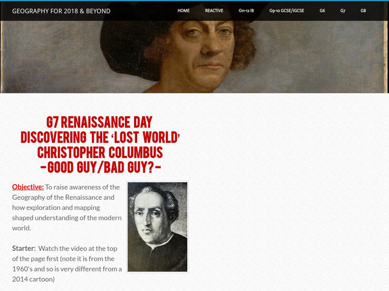
Geographypods: Renaissance Day: Discovering the 'Lost World'
Gain knowledge of how exploration, mapping, and voyages of the Renaissance period shaped and changed our understanding of the modern world.


