EngageNY
TASC Transition Curriculum: Workshop 12
How can opinions slant facts? Workshop participants learn how to examine primary and secondary sources and identify the author's point of view. They also examine how visual art impacts the meaning and rhetoric of sources. Full of...
Other
Geoscience Australia: Map Reading Guide: How to Use Topographic Maps [Pdf]
A topographic map can be challenging to read. This guide explains how to decipher one and how to use a magnetic compass to orient yourself to the landscape. It also explains how to use GPS coordinates.
BBC
Bbc: Bitesize Geography: Os Map Skills
A short tutorial on mapping tools and how to read maps. Covers features of maps, symbols, the compass, scale, distance, how height is represented, and grid references. Includes multiple-choice quiz at the end.
National Endowment for the Humanities
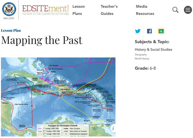
Neh: Edsit Ement: Mapping the Past
This lesson plan requires the students to examine past maps from various cultures in order to learn how the people from that time period interacted and understood their world.
Soft Schools
Soft Schools: Geography/map Skills Quiz
In this ten question quiz, students can assess their understanding of key geographical features on maps.
Other
Ordnance Survey: Map Zone: Measuring Distance
Read how to measure distance on maps using straight lines, string, or a ruler in order to strengthen students' mapping skills.
E-learning for Kids
E Learning for Kids: Math: Bus Station: Position on a Map
Help Jamal read maps, describe directions, and identify coordinates in this series of interactive exercises.
Other
La Rue Literacy Exercises: Reading a Map: Quiz 12
In this quiz, students are given sections of a map with locations like the school, post office, back, etc. They are asked questions about directions from one place to the other.
Utah Education Network
Uen: Lesson Plan: Maps and Me
Lesson to reinforce basic map skills. Young scholars discuss Me on the Map by Joan Sweeney, work in groups to create maps of the classroom, and use these maps to hunt for treasure.
Alabama Learning Exchange
Alex: Primary Technology Maps
This hands-on, inquiry-based lesson plan combines maps skills which include identifying map elements, applying an understanding of cardinal directions, interpreting resource maps, and identifying a location. Students will have the...
Other
Usps: The Flags of Our Nation: All Over the Map
This activity reinforces students' geographic, directional, and map skills while conveying interesting facts and state trivia.
BBC
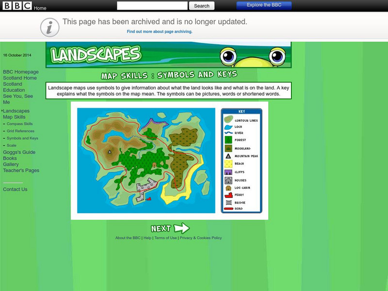
Bbc: Landscapes: Map Skills: Symbols and Keys
A guide for young learners to understand reading maps and their keys.
C3 Teachers
C3 Teachers: Inquiries: Maps and Geography
A comprehensive learning module on maps that includes three supporting questions accompanied by formative tasks and source materials, followed by a summative performance task. Students learn about map symbols, cardinal directions, and...
Other
Map Zone: Compasses and Directions
Sharpen map skills by exploring these map pages. Learn about the compass rose, different norths, and how to use a compass.
BBC
Bbc: Landscapes: Map Skills: Grid References
Young map readers will learn the idea of referring to the grid numbers to help find locations or to describe locations on a map.
HotChalk
Hot Chalk: Lesson Plans Page: Birdseye View, Mapping
Lesson that helps students understand that maps show a "birds-eye view" of a place. Students stand above a teacher-made model and discuss how the objects in the model looked from above. Then students draw objects from a birds-eye view,...
Texas Education Agency
Texas Gateway: Nature Cat: Let's Explore With Maps!: Grade 3
Nature Cat and friends learned some map skills as they searched for treasure in the story segment "The Treasure of Bad Dog Bart". Learn about compasses, landmarks, and maps with Nature Cat, Squeeks, and more. Finally, help Hal remember...
Other
Edte.ch: Maths Maps
Maths Maps is a collaborative project where participants use Google maps to choose a location within one of the cities highlighted, then create a Math problem about the site. The problems are marked on the map with various colors...
ClassFlow
Class Flow: Map Skills Germany
[Free Registration/Login Required] In this lesson map skills are reinforced by identifying physical features in Germany. Mountains, rivers, lakes, and land elevation are discussed. Political maps identify population and cities.
Utah Education Network
Uen: Lesson Plan: Map Trap
Lesson to reinforce maps skills and concepts. Students map locations around their school and use world maps to locate major landmarks.
Other
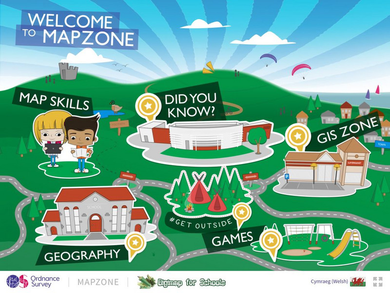
Ordnance Survey: Map Zone
All kinds of fun and interesting ways to learn about maps and acquire mapping skills.
Alabama Learning Exchange
Alex: Capture the Flag
This lesson requires students to read maps in order to play the game capture the flag.
SMART Technologies
Smart: Geography Unit: Maps
This geography unit is designed to follow the 1st Grade geography skills required in Virginia. Students are expected to use cardinal directions, read map keys and understand map symbols, as well as identify our city and capital.
PBS
Pbs Wisconsin Education: Into the Map
In this learning module, students will explore the world of geography by creating and analyzing maps.

![Geoscience Australia: Map Reading Guide: How to Use Topographic Maps [Pdf] Handout Geoscience Australia: Map Reading Guide: How to Use Topographic Maps [Pdf] Handout](https://static.lp.lexp.cloud/images/attachment_defaults/resource/large/FPO-knovation.png)
