Hi, what do you want to do?
EngageNY
TASC Transition Curriculum: Workshop 12
How can opinions slant facts? Workshop participants learn how to examine primary and secondary sources and identify the author's point of view. They also examine how visual art impacts the meaning and rhetoric of sources. Full of...
Sophia Learning
Sophia: Note Taking: Concept Maps and Flow Charts
This slideshow lesson focuses on note taking using concept maps and flow charts; it provides background information, 6 types of concept maps or flow charts with best uses, uses in the classroom, uses while reading or researching, and how...
University of Texas at Austin
University of Texas: Qatar: 7 Maps and Charts
This is a nice set of maps of Qatar from the Perry-Castandeda Collection which includes a map of the country, population map, map of economic activity, among others.
City University of New York
Virtual Geology: Maps Home Page: Topic and Quiz Menus
This collection of resources cover map topics and includes quizzes for improving map and globe usage skills.
Library of Congress
Loc: American Revolution and Its Era: Maps & Charts
A few maps and some good text on the topography and its importance during both the American Revolution and the French and Indian War.
NOAA
Noaa: Office of Coast Survey: Historical Map and Chart Collection
A collection of maps and charts related to the Civil War. Maps and charts can be downloaded and saved.
Other
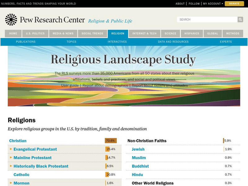
Pew Forum on Religion and Public Life: u.s. Religion Landscape Survey
Website summarizing the results of a survey on religion in the U.S. Contains maps and charts of information for each specific religion as well as bar graphs comparing the deomographics of the different religious groups. Two full reports...
Other
La Rue Literacy Exercises: Reading a Map: Quiz 12
In this quiz, students are given sections of a map with locations like the school, post office, back, etc. They are asked questions about directions from one place to the other.
University of Washington
University of Washington: Naacp History and Geography 1909 1980
Brief history of the NAACP with visualizations showing data, maps, and charts that show the changing geography of NAACP grassroots activism.
University of Washington
University of Washington: Socialist Party of America History and Geography
Two dozen interactive maps and charts reveal the changing strength and geography of the Socialist movement.
University of Washington
University of Washington: Communist Party Usa History and Geography
Maps and charts detail electoral support, showing the number and percentage of votes for Communist candidates in every county and state from 1922 to 1946, party membership by state or district from 1922-1950, the intense geography of...
National Library of France
National Library of France: Heaven and Earth
Learn how art through the ages has been influenced by the Earth and the heavens. See paintings that attempted to explain the Earth's creation from a scientific standpoint, sacred architecture that provided a place to worship the heavens,...
Art Institute of Chicago
Art Institute of Chicago: Benin: Kings and Rituals: Court Arts From Nigeria
Learn about the history of the royal art of the Benin Kingdom in Africa. An overview of the art is provided and with further explanation given according to themes. View maps and selected works of art. A video, charts, glossary, and a...
Other
Bureau of Meteorology: The Weather Map
Explains what a weather map is and how it is prepared. Describes what weather maps show, typical weather patterns in Australia, the use of weather charts, temperature, and wind speed.
Other
Honolulu Hi 5: Cool Maps With Awesome Weather Data Across 1,219 Us Cities
Explore the weather in states and cities across the United States. Two maps with accompanying graphs are provided. The first indicates the number of comfortably warm summer days a place has and the second shows the temperature and how...
City University of New York
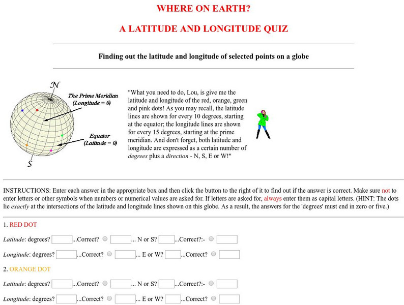
Virtual Geology: Where on Earth: A Latitude and Longitude Quiz
This quiz starts with select points on a globe. Students must determine the latitude, longitude, and direction for each point.
ProProfs
Pro Profs Quiz Maker: Map Reading Awareness Quiz
This is a nine-question quiz about information on maps and parts of a map. The questions are timed, but not limited.
Curated OER
U. Of Texas: Yemen: Distribution of Ethnoreligious Groups and Key Tribal Areas
An interesting map showing the distribution of the major religious groups, the tribal areas, and pie graphs showing the percentages of ethnic groups and religious sects. From the Perry-Castaneda Collection.
Geographypods
Geographypods: Global Interactions: Economic Interactions and Flows
This learning module examines how money travels around the world between more developed and less developed nations, and the various forms it takes. Includes slideshows, student tasks, videos, maps, charts, and case studies, including one...
Geographypods
Geographypods: Freshwater: Issues and Conflicts: Drainage Basins and Flooding
In this learning module, students learn how a watershed or drainage basin functions and the impact of human activities on them. Also covers groundwater, stream discharge, hydrographs, and the 2010 floods in Pakistan. Includes rich...
Free Management Library
Map: Key Concepts in Design of Organization
Defines organizational design and describes the key concepts. Provides links to more information.
Pew Research Center
Pew Social and Demographic Trends: Migration Flows in the United States
The Pew Hispanic Research Center details the migration flows of the United States. Breaks down U.S. migration patterns from the last 20 years. Scroll mouse over map to see the regional migration throughout the years. View a map which...
Gabriel Dumont Institute
Metis Cultural Museum: Cumberland House
Links to a Adobe Reader PDF document that outlines the history associated with Cumberland House in Saskatchewan, with a slight focus on Metis peoples. Extremely detailed, the thirty pages include excellent maps and charts easily...
Other
Geological Survey Program: Facts About the New Madrid Seismic Zone
It's surprising to find out that the New Madrid Seismic Zone is the most seismically active area in the United States. The facts go into the New Madrid fault very scientifically and are very detailed. Find maps and charts showing...
Other popular searches
- Analyze Maps and Charts
- Reading Maps and Charts
- Charts and Maps
- Ireland Maps and Charts
- Tables, Maps and Charts
- Graphs Charts and Maps
- Interpreting Charts and Maps
- Tables Maps and Charts
- Graphs, Charts and Maps
- Graphs\, Charts and Maps
- Word Maps and Charts
- Charts, Maps and Graphs


