EngageNY
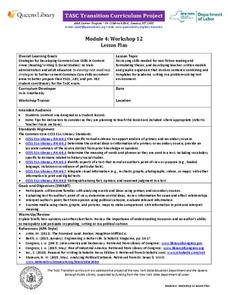
TASC Transition Curriculum: Workshop 12
How can opinions slant facts? Workshop participants learn how to examine primary and secondary sources and identify the author's point of view. They also examine how visual art impacts the meaning and rhetoric of sources. Full of...
Utah Education Network
Uen: Lesson Plan: Maps and Me
Lesson to reinforce basic map skills. Students discuss Me on the Map by Joan Sweeney, work in groups to create maps of the classroom, and use these maps to hunt for treasure.
Alabama Learning Exchange
Alex: Primary Technology Maps
This hands-on, inquiry-based lesson combines maps skills which include identifying map elements, applying an understanding of cardinal directions, interpreting resource maps, and identifying a location. Students will have the opportunity...
Annenberg Foundation
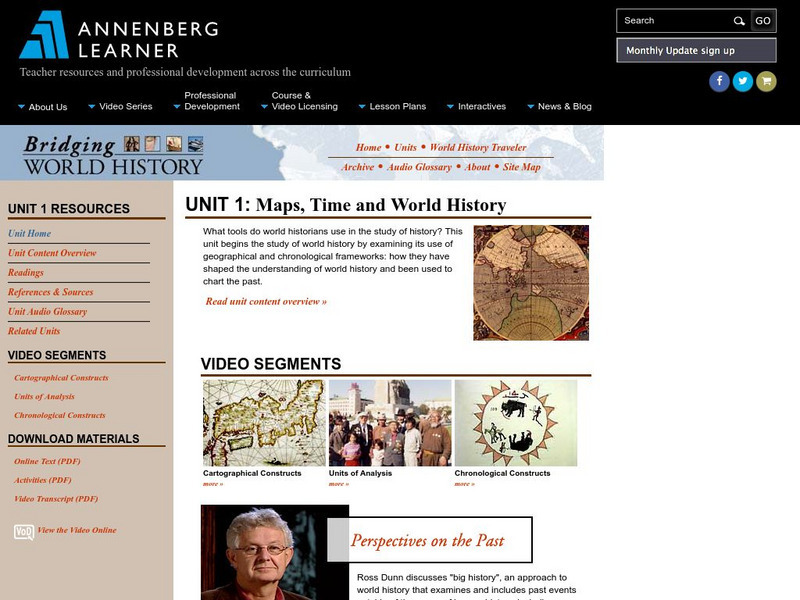
Annenberg Learner: Bridging World History: Maps, Time, and World History
Learn how map projections and chronological constructs are used in the study of world history and help us to understand and interpret the past. Part of a larger site on world history, this unit on maps offers complete reading,...
Utah Education Network
Uen: Lesson Plan: Fairy Tale Maps
Lesson designed to introduce maps and the cardinal directions. After listening to the teacher read aloud or tell the story of Little Red Riding Hood, young scholars retell the story and use cutouts of landmarks and arrows to create a map...
HotChalk
Hot Chalk: Lesson Plans Page: Birdseye View, Mapping
Lesson that helps students understand that maps show a "birds-eye view" of a place. Students stand above a teacher-made model and discuss how the objects in the model looked from above. Then students draw objects from a birds-eye view,...
PBS
Pbs Learning Media: Interactive Map of the Battle of Trenton
Young scholars track the action of the Battle of Trenton while increasing their reading and map skills of historic events by using this interactive made by George Washington's Mount Vernon.
Better Lesson
Better Lesson: Comparing and Contrasting Our Stories With a Double Bubble Map
Students will identify the similarities and differences between different versions of fictional stories by completing a double bubble map. Included in this lesson are teacher questions, a bubble map printable, a video of a class...
National Geographic
National Geographic: Mapping the Classroom
Learning to use and create maps builds students' spatial thinking skills as well as language skills in the early years. In this lesson, students practice using the language of location and then apply that language when creating a map of...
Stanford University
Sheg: Document Based History: Reading Like a Historian: Mapping the New World
[Free Registration/Login Required] Students read primary source documents to solve a problem surrounding a historical question. This document-based inquiry lesson allows students study two 17th-century maps of Virginia and think...
Middle East Policy Council
Mepc: Teach Mideast: Comparing Maps of the Middle East
A lesson plan to explore the Middle East region via maps and classroom discussion to better understand the Middle East. An Internet connection is needed to utilize the links provided.
Louisiana Department of Education
Louisiana Doe: Louisiana Believes: Social Studies: Grade 1: Using Maps
First graders develop and express claims through discussions and writing in which they explore and create maps using map keys, and map symbols. Students engage with the sources to build their map skills.
Smithsonian Institution
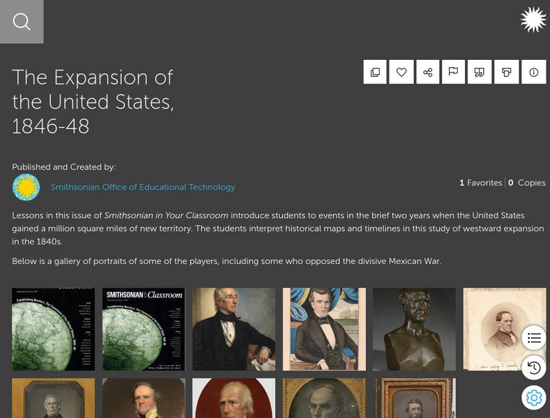
Smithsonian Learning Lab: The Expansion of the United States, 1846 48
This online lesson plan shows students through primary sources how the borders of the U.S. changed in just a few years. They are asked to analyze maps and use map skills. All maps and worksheets are included as well as additional resources.
Utah Education Network
Uen: Lesson Plan: Map Trap
Lesson to reinforce maps skills and concepts. Young scholars map locations around their school and use world maps to locate major landmarks.
Science Education Resource Center at Carleton College
Serc: Mapping Your World
This activity serves as an introduction to mapping skills and the classroom. Students will create a map of the classroom, analyze and determine qualities that make a clear, concise map, then create a database of qualities they will use...
PBS
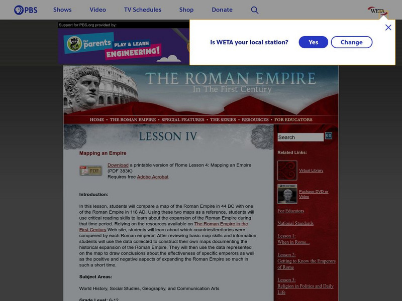
Pbs: The Roman Empire of the 1st Century: Mapping an Empire
In this lesson, students will compare a map of the Roman Empire in 44 BC with one of the Roman Empire in 116 AD. Using these two maps as a reference, students will use critical reading skills to learn about the expansion of the Roman...
Utah Education Network
Uen: Tortoise and Hare Races
In this lesson plan students use the fable "The Tortoise and the Hare" while learning basic mapping skills.
US Mint
United States Mint: In Mr. Lincoln's Shoes [Pdf]
Using the study of President Abraham Lincoln as a guide, young scholars demonstrate basic map skills including cardinal directions and how to use a compass rose.
Discovery Education
Discovery Education: Weather Maps
This site provides a lesson plan in which groups of students will each investigate a different type of weather map use for weather forecasting. Also includes discussion questions, extension ideas, and links to additional sites for more...
National Association of Geoscience Teachers
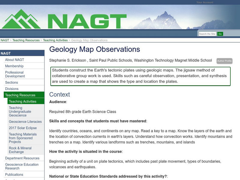
Nagt: Geology Map Observations
In jigsaw groups, students construct the Earth's tectonic plates using geologic maps. Skills such as careful observation, presentation, and synthesis are used to create a map that shows the type and location the plates.
Library of Virginia
Virginia Memory: Historical Maps With a Modern Use
How can we use historical maps to strengthen our mental maps of the modern world?
TeachEngineering
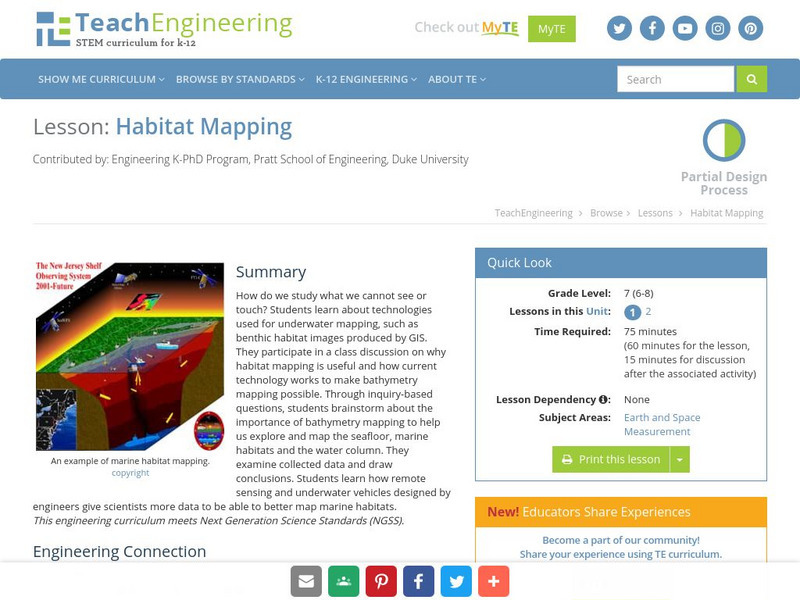
Teach Engineering: Habitat Mapping
The marine environment is unique and requires technologies that can use sound to gather information since there is little light underwater. In this lesson, the middle schoolers will be shown benthic habitat images produced by GIS. These...
Other popular searches
- Map Skills Lesson Plans
- Map Skills Worksheets
- Elementary Map Skills
- Geography Map Skills
- Basic Map Skills
- Social Studies Map Skills
- Globe and Map Skills
- Beginning Map Skills
- United States Map Skills
- Map Skills, Continents
- Early Explorers Map Skills
- Free Map Skills Worksheets
