Rice University
Rice University: Cynthia Lanius: Mathematics of Cartography
Can there be a connection between map making and math? Explore the mathematics of cartography in this resource that integrates web-based instruction, mathematical problem solving, geometry, history, and art. Interesting information and...
Rice University
Rice University: Cynthia Lanius: Mathematics of Cartography: Scale
Definition of map scale with related cartography links and activity at Mapblast in which students create maps of their own and determine distance and scale.
Rice University
Rice Univ.: Cynthia Lanius: Mathematics of Cartography: Mathematics Problems
Web-based cartography exercises based on the online "How far is it" distance caclulator.
Rice University
Rice University: Cynthia Lanius: Mathematics of Cartography: What Are Maps?
Defines what maps are and provides illustrations and related links to a site devoted to cartography.
Rice University
Rice University: Cynthia Lanius: Mathematics of Cartography: Projections
Understanding map projections is an important map-reading skill. Features graphics and links to examples of many different projections and an activity on making a Mercator projection.
Rice University
Rice Univ.: Cynthia Lanius: Mathematics of Cartography: History of Mapmaking
Surveys the history of mapmaking from prehistoric to current times with an illustrated chronology.
Rice University
Rice University: Cynthia Lanius: Mathematics of Cartography: Coordinate System
A coordinate system such as latitude/longitude is an example of absolute location. Links to Greenwich/Prime Meridian.
University of Calgary
European Voyages of Exploration: Geography and Cartography
This site provides information on mapmaking and cartograohy of the early explorers. Includes pictures of maps.
University of California
World History for Us All: Getting Our Bearings: Maps of Time, Space, and History
Understanding history requires students to be able to see the big picture. This teaching unit introduces students to tools they can use to investigate history. Topics covered include cartography, chronography, and maps of space, time and...
University of Texas at Austin
University of Texas: Glossary of Cartographic Terms
This is a complete glossary of cartographic terms pertaining to maps of the United States.
National Geographic
National Geographic: Map Maker Interactive and 1 Page Map Maker
This National Geographic feature allows visitors to create their own world maps complete with capitals, oceans, climate information, satellite view, personalized trail markings and more. Choose from a detailed color map or the second...
Cynthia J. O'Hora
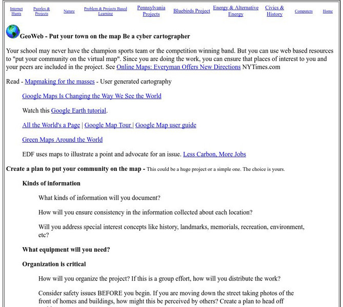
Mrs. O's House: Geo Web: Be a Cyber Cartographer
Take a close look at the resources provided and consider how students can put their school and/or community on the map. Discover cartography, virtual mapping, and points of interest in town or of the school.
Other
Ancient History: 10 Ancient Greek Inventions and Discoveries Still Used Today
Ten of the important inventions and innovations of the ancient Greeks are described. These include the water mill, the odometer, alarm clocks, cartography, the Olympics, geometry, Hippocratic medicine, philosophy, democracy, and...
Khan Academy
Khan Academy: What Maps Tell Us
Maps are subjective, and like any form of art and design they have stories to tell and reveal a lot about the times in which they were produced. Maps involve selections of information, human editing, and a visual language legible to the...
City University of New York
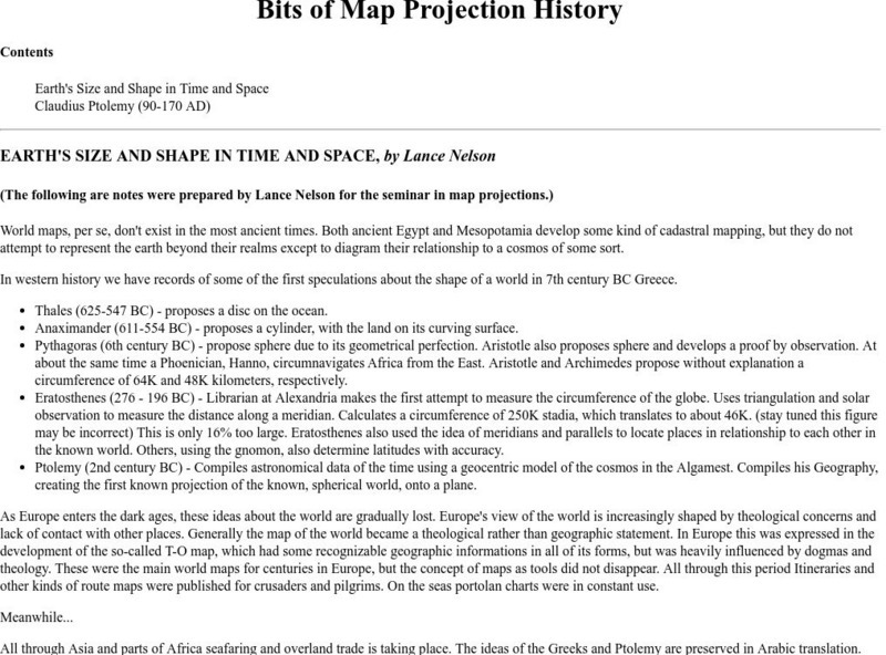
Map Projection Basics: Bits of Map Projection History
Surveys the ideas of Claudius Ptolemy (90-170 AD) in regard to the shape of the world and his influence on the history of mapmaking.
ibiblio
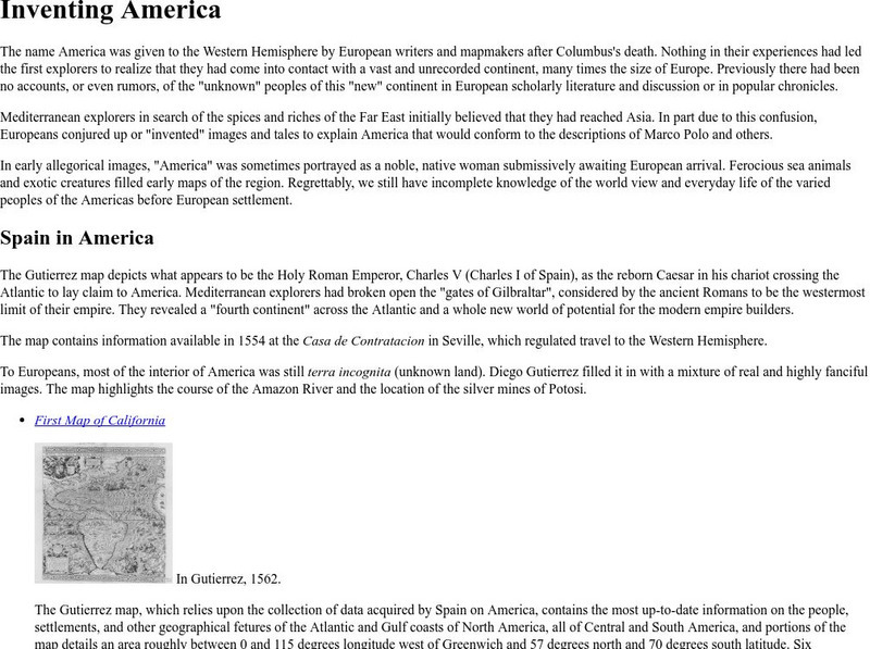
Ibiblio: 1492: An Ongoing Vogage: Inventing America
Archived exhibition reveals how European writers and mapmakers thought about America during the Age of Discovery. Describes the allegorical images Europeans sometimes used to portray America and features the Gutierrez map, drawn in 1562,...
TeachEngineering
Teach Engineering: Digital Mapping and Geographic Information Systems (Gis)
Geographic information systems (GIS), once used predominantly by experts in cartography and computer programming, have become pervasive in everyday business and consumer use. This unit explores GIS in general as a technology about which...
University of Texas at Austin
Ut Library: Perry Castaneda World War Ii Maps
An excellent collection of WWII maps. Scroll down for selections from the European Theater of the war.
National Library of France
National Library of France: Heaven and Earth
Learn how art through the ages has been influenced by the Earth and the heavens. See paintings that attempted to explain the Earth's creation from a scientific standpoint, sacred architecture that provided a place to worship the heavens,...
Other
Modern City and Country Maps of Germany
A German Government user-friendly site that gives links to sites with excellent, up-to-date maps of Germany.
Library of Congress
Loc: Mapping the National Parks
A rich and historically significant collection of maps of various national parks throughout the United States. Features special sections on Yellowstone, Acadia, the Grand Canyon and the Smoky Mountains. Includes historical photographs of...
Library of Virginia
Virginia Memory: Blank Space: Mapping the Unknown
How did early maps show the mapmakers' perception of the known world? Early mapmakers used maps drawn from coastal explorations, land travels, and even information heard word of mouth from American Indians or from colonists or traders....
Other
Stadtplandienst Map Service
A helpful tool in finding locations in Germany. Just type in an address or town/city, or click on the interactive map, and receive a map of your destination. This site is only in German.
Texas Instruments
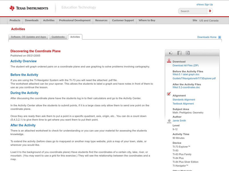
Texas Instruments: Discovering the Coordinate Plane
The student will graph ordered pairs on a coordinate plane and use graphing to solve problems involving cartography.
Other popular searches
- Cartography Lessons
- Cartography Color
- Cartography Geology
- Web Cartography
- Cartography (Maps
- Cartography and Mathematics
- Cartography Sociology
- Cartography Lesson Plans
- Cartography Celestial
- Cartography Sociolocial
- Cartography Australia
- History of Cartography


