American Psychological Association
Teaching Is Fundamental
It's important for teachers to have a strong support system—especially in the first few years of their career. Help teachers' partners, spouses, and friends understand the most compassionate ways to provide emotional support with a...
TeachEngineering
Teach Engineering: Digital Mapping and Geographic Information Systems (Gis)
Geographic information systems (GIS), once used predominantly by experts in cartography and computer programming, have become pervasive in everyday business and consumer use. This unit explores GIS in general as a technology about which...
American Geosciences Institute
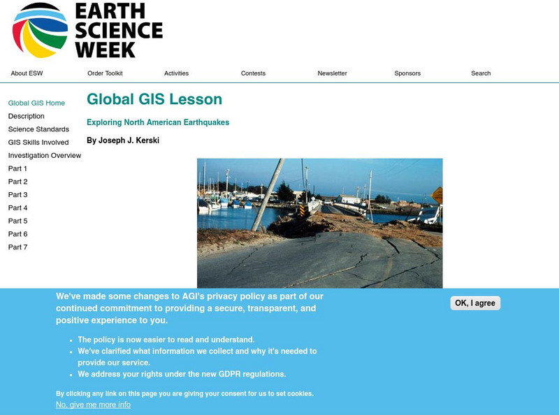
American Geosciences Institute: Earth Science Week: Global Gis Lesson: Exploring North American Earthquakes
In this series of lessons, young scholars use Geographic Information Systems (GIS) together with the tools and data from the North America Global GIS CD to investigate earthquakes, volcanoes, and population from a local to global scale....
American Geosciences Institute
American Geosciences Institute: Earth Science Week: Exploring Energy With Gis
In this lesson, learners will learn how Geographic Information Systems technology is used to locate energy reserves around the Earth. Provides link to website with lessons on using GIS. (Due to site changes, you may need to search for...
American Geosciences Institute
American Geosciences Institute: Earth Science Week: Gis and Careers
Students learn about GIS technology for solving problems and learn how employers seek workers who know how to make good decisions in a complex world.
Science Education Resource Center at Carleton College
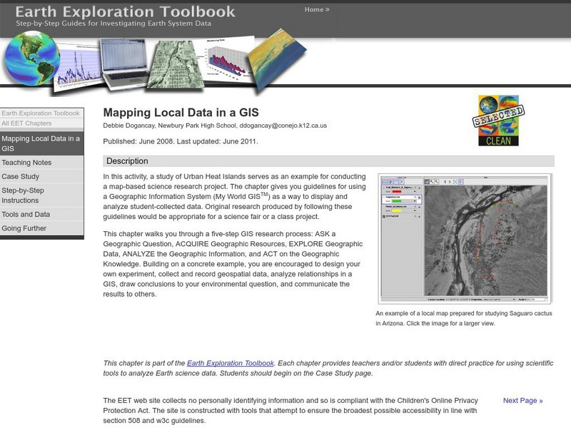
Serc: Mapping Local Data in a Gis
In this activity, students will learn how to conduct a map-based science research project using a Geographic Information System (GIS). They will design an experiment, collect and record geospatial data, analyze geospatial relationships...
Science Education Resource Center at Carleton College
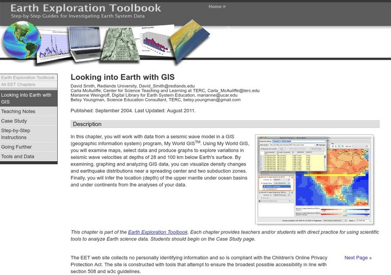
Serc: Looking Into Earth With Gis
Multi-instructional activity activity where young scholars will work with data from a seismic wave model in a GIS (geographic information system) program. They will examine maps, select data, and produce graphs to explore variations in...
TeachEngineering
Teach Engineering: What Is Gis?
Geographic information systems (GIS) are important technology that allows rapid study and use of spatial information. GIS have become increasingly prevalent in industry and the consumer/internet world in the last 20 years. Historically,...
American Geosciences Institute
American Geosciences Institute: Earth Science Week: Analyzing Hurricanes Using Web and Desktop Gis
In this activity, students research hurricane data to discover their behavior and patterns. They map them across decades to see whether their frequency is increasing. They study Hurricane Andrew and investigate the relationship between...
Other
Oregon School Library Information System
An excellent site that supports school libraries which includes tools for both elementary and secondary students. Choose the appropriate level to find resources on citing sources, research process, choosing research resources, finding...
Science Education Resource Center at Carleton College
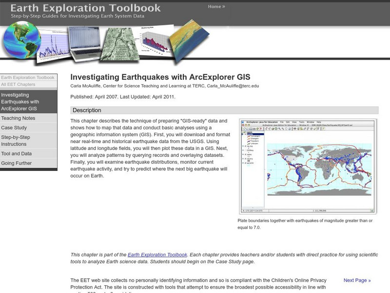
Serc: Investigating Earthquakes With Arc Explorer Gis
This activity allows students to predict future earthquake activity by interpreting the results of geographic information system (GIS) analysis.
Science Education Resource Center at Carleton College
Serc: Exploring Ncar Climate Change Data Using Gis
With ArcGIS and climate data from the National Center for Atmospheric Research Climate Change Scenarios GIS Data Portal, learners learn the basics of GIS-based climate modeling.
Science Education Resource Center at Carleton College
Serc: Gis Exploration Using the High Plains Aquifer Databases
Students work with databases and GIS to develop saturated thickness maps. Each database consists of observations made by drillers where they have encountered the High Plains aquifer base and the annual water-level measurements taken in...
University of California
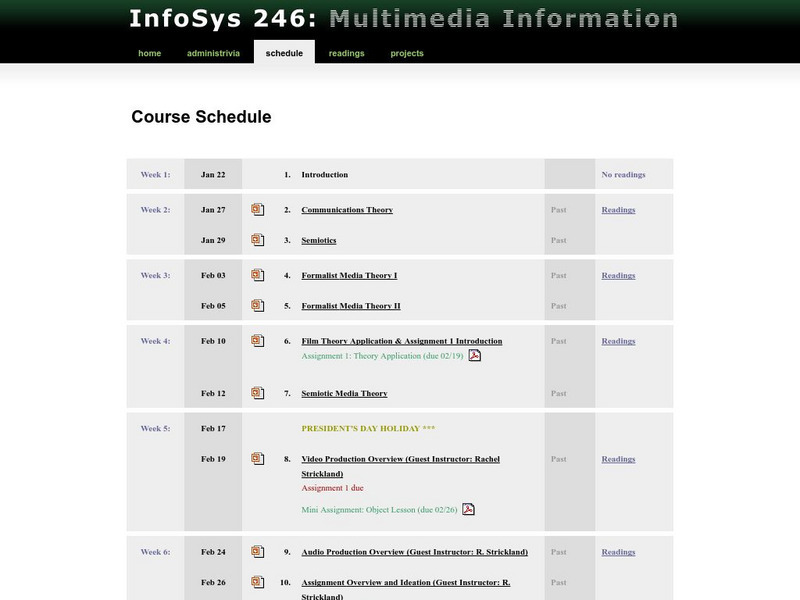
Uc Berkeley School of Information: Info Sys 246: Multimedia Information
This is the course page for an introductory course on multimedia information systems. It looks at the history, theory, commercial and academic applications, the future of digital multimedia, and the production cycle, and shows students...
National Geographic
National Geographic: The Politics of Place Naming
Students use an online geographic information system (GIS) to uncover the geographic and social context of streets named after Martin Luther King, Jr. They map street locations to identify regional patterns in honoring King, consider...
Science Education Resource Center at Carleton College
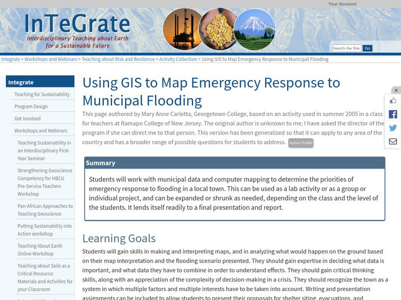
Serc: Using Gis to Map Emergency Response to Municipal Flooding
In this lesson students will work with municipal data and computer mapping to determine the priorities of emergency response to flooding in a local town. This can be used as a lab activity or as a group or individual project, and can be...
Other
Sc Dept. Of Education: The Simple Four: An Information Problem Solving Model
Martha Alewine, consultant for South Carolina's School Library Media Services, has created several easy to use documents that show teachers and students how to use the Simple Four method of doing research. The steps include planning,...
TeachEngineering
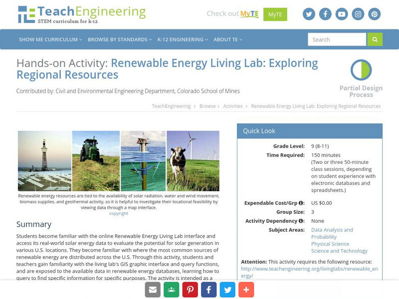
Teach Engineering: Renewable Energy Living Lab
Students become familiar with the online Renewable Energy Living Lab interface and access its real-world solar energy data to evaluate the potential for solar generation in various U.S. locations. They become familiar with where the most...
TeachEngineering
Teach Engineering: Projections and Coordinates: Turning a 3 D Earth Into Flatlands
Projections and coordinates are key advancements in the geographic sciences that allow us to better understand the nature of the Earth and how to describe location. These innovations in describing the Earth are the basis for everything...
TeachEngineering
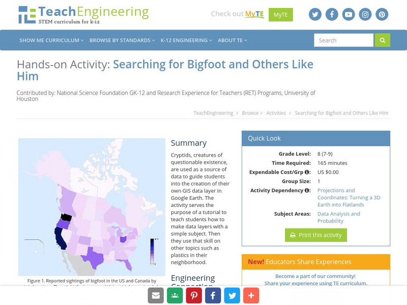
Teach Engineering: Searching for Bigfoot and Others Like Him
Cryptids, creatures of questionable existence, are used as a source of data to guide students into the creation of their own GIS data layer in Google Earth. The activity serves the purpose of a tutorial to teach students how to make data...
TeachEngineering
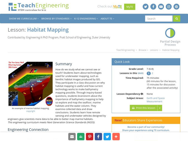
Teach Engineering: Habitat Mapping
The marine environment is unique and requires technologies that can use sound to gather information since there is little light underwater. In this lesson, the middle schoolers will be shown benthic habitat images produced by GIS. These...
PBS
Pbs Learning Media: Solar System Scale Model
Teach the concept of scale models and the size of the solar system through this extensive lesson plan. Students will learn about scale models, estimate which objects to use to create a scale model of Earth and Sun, and figure out how far...
PBS
Pbs Learning Media: Solar System Fact Sheet
Use this handy chart to help acquaint yourself with major facts about the solar system. This chart is broken down by planet and displays data such as the size of the planet, distance from the sun, rotation period, orbital period,...
North Central Regional Educational Laboratory
Ncrel: Human Body Systems Resource
What do you know about the different human body systems? This site features information on each of the different systems. Students and teachers will benefit from this comprehensive resource.


