Curated OER
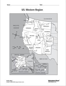
US: Western Region Map
For this United States Western Region worksheet, students examine the state boundaries and landforms found in this region. The map also highlights each of the state capitals.
Curated OER
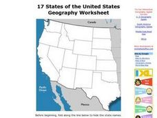
17 states
For this states worksheet, students label states in the United States that are on the west side of the country. Students label 17 states.
Curated OER
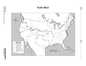
Trails West: Westward Expansion Maps
For this United States historical map worksheet, students examine the trails that settlers of the Western United States took during the period of Western Expansion. Major cities on the routes are labeled.
Curated OER
Utah: State History
In this Utah state history worksheet, students read two and a half pages of information about Utah and complete 10 true and false questions.
Curated OER
Trails West Map
In this United States historical map worksheet, students examine the trails that settlers of the Western United States took during the period of Western Expansion.
Bismarck Public Schools
Chapter 9 Review WKST
Here is a traditional multiple-choice, true/false, and fill-in-the-blank assessment on the presidency of James Monroe in the United States. It was designed to supplement a particular textbook chapter, but could be used to assess learning...
Curated OER
North American Biomes
In this Science worksheet, students color a biome map of North America. Students color the map by solving the clues listed on a separate sheet of paper.
Port Jefferson School District
Hurricane Katrina
Young scientists track Hurricane Katrina across the Atlantic Ocean as they learn about these destructive forces of nature. Provided with a table of data tracking the location and conditions of Katrina over a one week span, students...
Curated OER
Globe Skills Lesson 5
In this map skills learning exercise, students read a text selection about locations during the American Revolution and then respond to 8 fill in the blank questions.
Curated OER
Third Grade Social Studies Quiz
In this social studies activity, 3rd graders complete multiple choice questions about communities, maps, distances, and more. Students complete 11 questions.
Curated OER
Biome Map
For this biomes worksheet, learners color the map of North America according to the biome clues. Students then answer questions about the North American biomes.
Curated OER
Early Greeks-Unit Test
In this social studies worksheet, 7th graders focus on Early Greeks. Students respond to a total of 30 matching, multiple choice, and fill in the blank questions.
Curated OER
Reading Comprehension: Louisiana
In this reading comprehension worksheet, students read a 2-page article regarding Louisiana and respond to 10 true or false questions regarding the selection about the state.
Curated OER
North Or Northern?
In this direction words worksheet, learners complete a ten question multiple choice on-line interactive quiz about the correct use of direction words such as north, northern, east, eastern.
Curated OER
Preparing for the Lewis and Clark Expedition
Here's a worksheet to help your class envision the Lewis and Clark expedition. Your young historians read a one-page article on the expedition, use context clues and a dictionary to define eight terms from the article and write a...
EngageNY
Modeling an Invasive Species Population
Context makes everything better! Groups use real data to create models and make predictions. Classmates compare an exponential model to a linear model, then consider the real-life implications.
Lizard Point Quizzes
Lizard Point: Western Usa: States Quiz
Test your geography knowledge by taking this interactive quiz over the western United States.
National Geographic
National Geographic: Mapping u.s. Watersheds
Students will identify and explore major rivers and watersheds in the United States.
Library of Congress
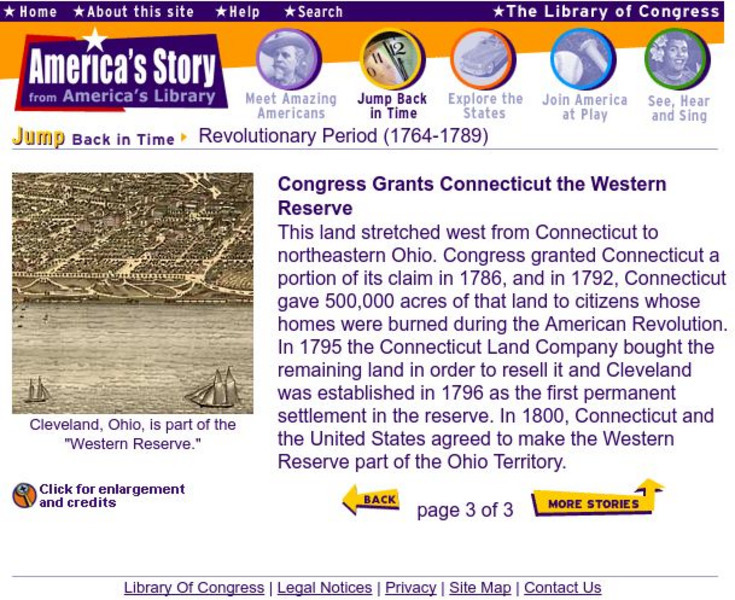
Loc: The Western Reserve Is Granted to Conn.
A brief explanation of Connecticut's acquisition of the Western Territory. Provides several historical maps to provide a view of The United States as it appeared after the Revolutionary War.
Curated OER
Etc: The Expanding United States, 1865 1898
A sketch map from 1899 of the western United States showing the present state boundaries (dashed lines) and states proposed between 1865 and 1898 (solid lines), including the states Yellowstone, Wallowa, West Dakota, South Colorado, and...
Other
U.s. Genealogy Map Project: u.s. Border/land Claims 1804 1823
A great map and a list of the acquisitions and border changes of the United States from 1804 to 1823. A concise resource showing Western expansion.
Curated OER
Educational Technology Clearinghouse: Maps Etc: The Early United States, 1790
A map of the United States in 1790 showing the territorial claims of the states at the time, and the British and Spanish possessions and territory disputes. The map shows the frontier lines or extent of settlement from the coast of Maine...
Curated OER
Educational Technology Clearinghouse: Maps Etc: The United States, 1800
A map of the United States in 1800 showing the territorial claims of the states at the time, the British and French possessions, and territory disputes. The map shows the frontier lines or extent of settlement from the coast of Maine to...
Curated OER
Educational Technology Clearinghouse: Maps Etc: The United States, 1800
A map of the United States in 1800 showing the original thirteen states with the additions of Vermont (1791), Kentucky (1792), and Tennessee (1796), the State claims to western lands by South Carolina and Georgia, the extent of the...
