Types of Maps Teacher Resources
Hi, What do you want to do?
Find Types of Maps lesson plans and worksheets
Showing 176 resources
Curated OER
Tooling Around Arizona: Reading Arizona Maps
Students study geography. In this Arizona maps lesson, students develop their map reading skills. They have class discussions and work independently with various copies of Arizona maps to practice those skills. This lesson mentions...
Curated OER
The Great Topo Race
Students create a three dimensional island out of cardboard to examine how to read and use a topographical map. They make sure that their island can sustain life and that it has one volcanic mountain peak. They trace the parts of their...
Curated OER
Social Studies For Elementary School
Fourth graders become familar with maps and work in groups to get an overview of what Europe is like. The real assignment is in the form of students creating their own trip if it could really be taken.
Curated OER
Historical Atlas
Sixth graders evaluate how revolutions have affected the world throughout history (i.e. boundaries of nations, culture, economics, etc...) through the research for and creation of a historical atlas for assigned countries.
Curated OER
The Dirt at Your Feet May Limit Your Growth
Students examine how soils within a community may enhance or inhibit development. In small groups, they analyze county soils maps, and develop a prospectus for a construction company looking to construct a housing development site.
Curated OER
From North to South...Quebec's Forest Regions
Students identify and describe the different regions of Canada. With a focus on the forest regions, they use an atlas to locate the ecozones. They identify the characterstics of the climate and vegetation and the relationship between...
Curated OER
What is an Explorer
Students become explorers. They examine a picture of an explorer and create props to explore within the classroom. Students are studying the Louisiana Purchase of 1803. They explore how to read a map and create a map of the classroom...
Curated OER
Our State Road Trip
Students take a virtual tour of the country of China instead of a state. Using the Internet, they examine the differences between a political and physical map and use latitude and longitude to locate specific places. They also research...
Curated OER
The Geography of Aboriginal Languages in Canada
Students study the relationship between geography and the Aboriginal language communities.
Curated OER
Helping Hands: Promoting Gloval Awareness
Eleventh graders explore Canadian support for foreign aide. In groups, 11th graders discuss Canadian aide policies and express their opinion of each. Students brainstorm methods of contributing to developing nations. They complete...
Curated OER
Geography and Social Sciences
Learners identify and explain how geography is connected to other academic areas and historical events.
Curated OER
Japan: A Cultural Study
Third graders "take a trip" to Japan. They discover what life is like for a typical Japanese child and compare/contrast it to life in America. They give an oral presentation of Japanese holidays and festivals.
Mocomi & Anibrain Digital Technologies
Mocomi: Types of Maps
Details on the different types of maps, scale, and symbols.
University of Chicago
University of Chicago Press: What Is a Map? A Collection of Unusual Maps
Showcases a collection of unusual maps from the book "Maps: Finding Our Place in the World." Types of maps included are journey maps, city maps, slave maps, imaginary maps, and handy maps.
PBS
Pbs Learning Media: Earth's Systems: Map It
Explore different types of maps and how different things are represented on maps in this media gallery from WGBH. Maps are used to help locate different places and different things. Map symbols are representations of larger things in the...
Other
Phoenix Learning Group: Map Skills: Using Maps Together (Clip)
An introductory clip to a five-part "Map Skills" series. It emphasizes the importance of combining information from different types of maps in order to get a more complete understanding of a location's characteristics. [1:39]
Center for Literacy and Disability Studies, University of North Carolina at Chapel Hill
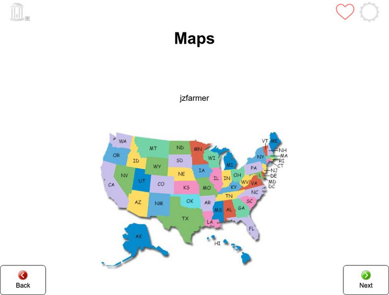
Tar Heel Reader: Maps (3)
Purposes, parts, and types of maps are featured for students to explore.
Other
There's a Map on My Lap!: All About Maps
Reading from the book "There's a Map on My Lap!: All about Maps" by Tish Rabe (Cat in the Hat's Learning Library). The book introduces beginning readers to types of maps and their parts. [8:02]
ClassFlow
Class Flow: Map Tasia
[Free Registration/Login Required] This flipchart allows students to explore 3 basic types of maps, physical, political, and historical. Characteristics of each are discussed and web links to additional examples are given. A short quiz...
Enchanted Learning
Enchanted Learning: Types of Maps
Enchanted Learning provides an easy-to-understand explanation of projections. Site also provides a graph of related terms such as conic projection, cylindrical projection, Mercator projection, and more.
Princeton University
Princeton University: Qed: Mapping Globalization: Map Category Queries
A large database of historical maps that can be searched by map type, time period (prehistory to 21st century), theme, and world location. Themes cover economics, war, disease, trade, migration, and much more.
Other
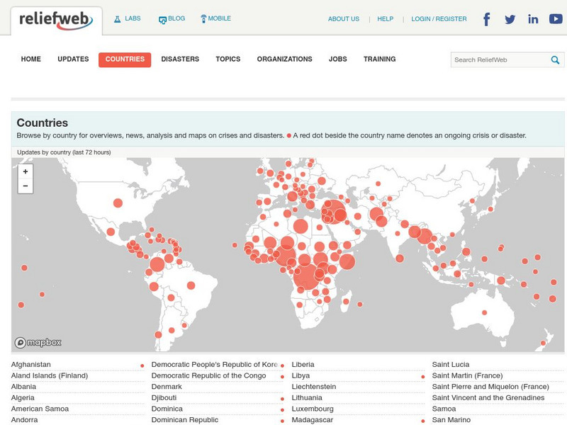
Relief Web: Countries
This resource provides information on countries throughout the world, current news, and different types of maps.
Library of Congress
Loc: Zoom Into Maps
What can we learn from maps? How can we use maps? How can we best read maps? Find out the answers to these with detailed explanations of making the most of maps presented to us. Examples of historical, pictoral, miratory, etc. types of...
Other
Discover Canada Through National Maps and Facts: Relief
Links to all of Canada's provinces and territories relief maps. Maps can be viewed as a picture or as a .pdf file. Be sure to check out the links to lesson plans as well as the many other types of maps.

